SUGARLOAF PEAK VIA WELLS CAVE
-

GRADING
-

FITNESS
High to Very High
-

DISTANCE
13.14 km
-

DURATION
Approx 6.5 hours
-

ELEVATION
748 metres
-

CALORIES
Approx 2,400 cal


-
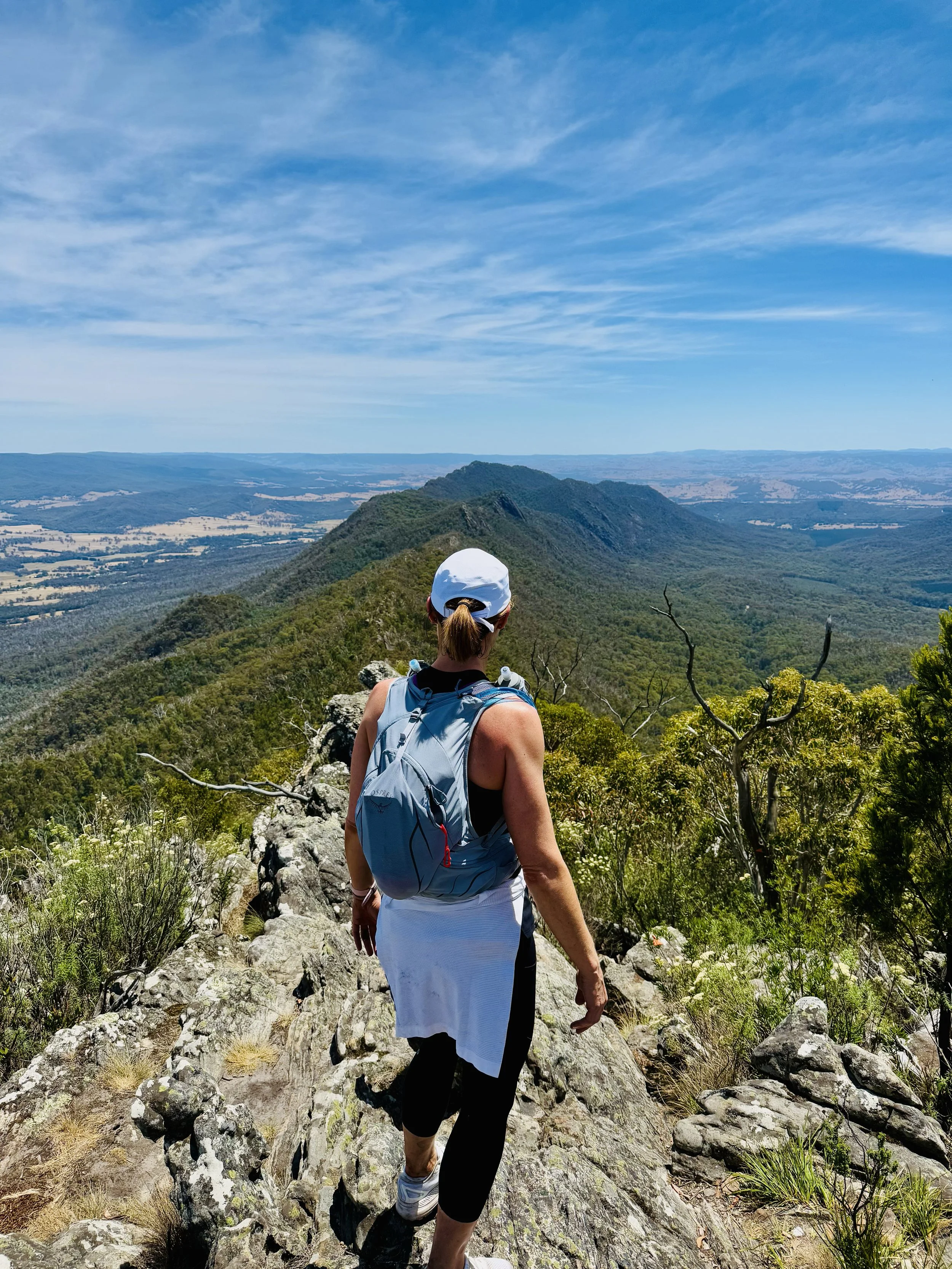
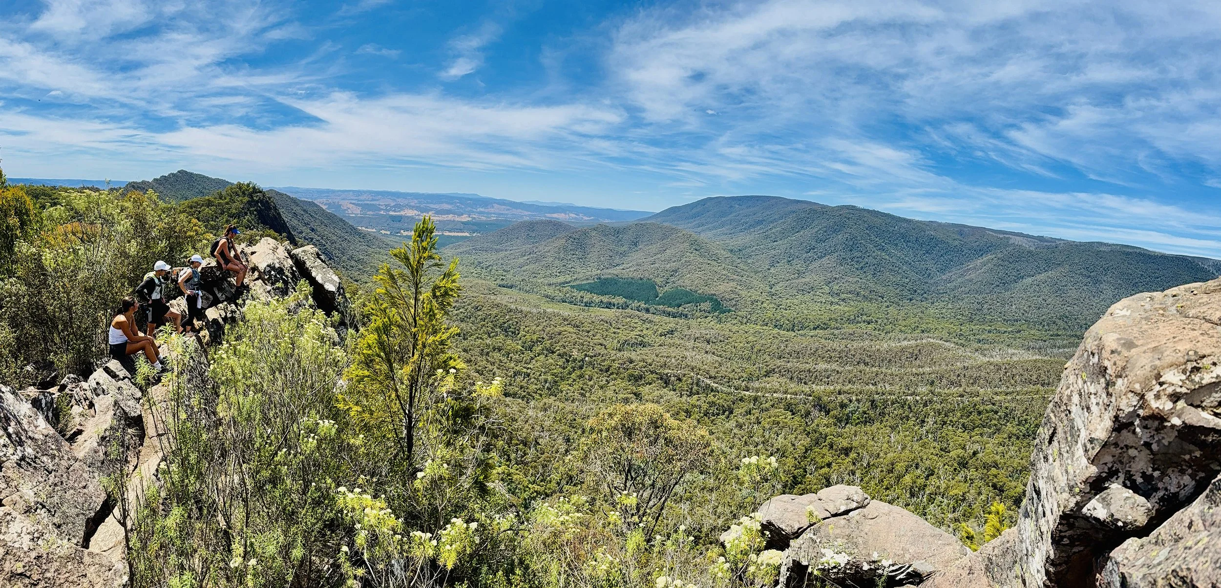
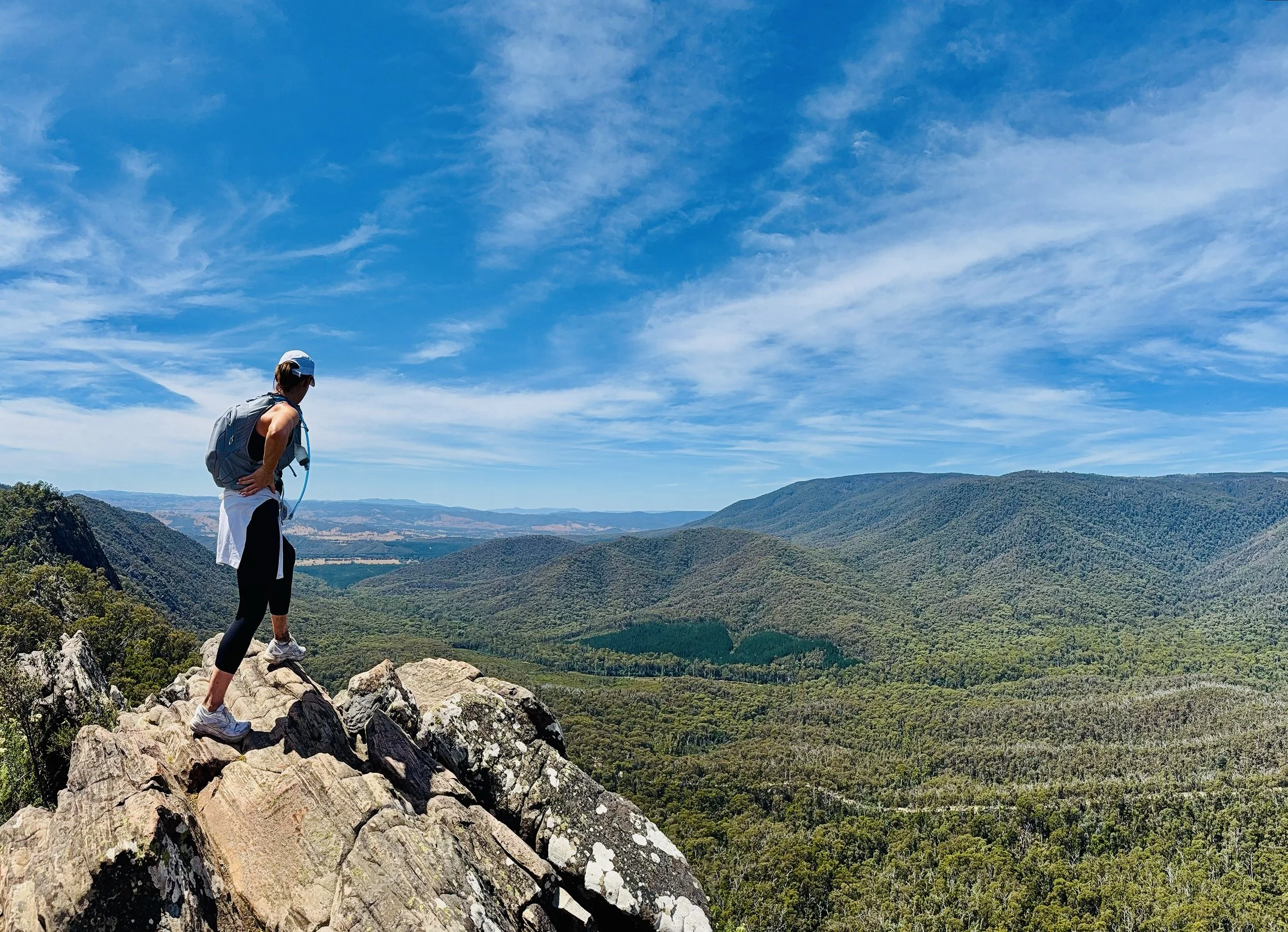
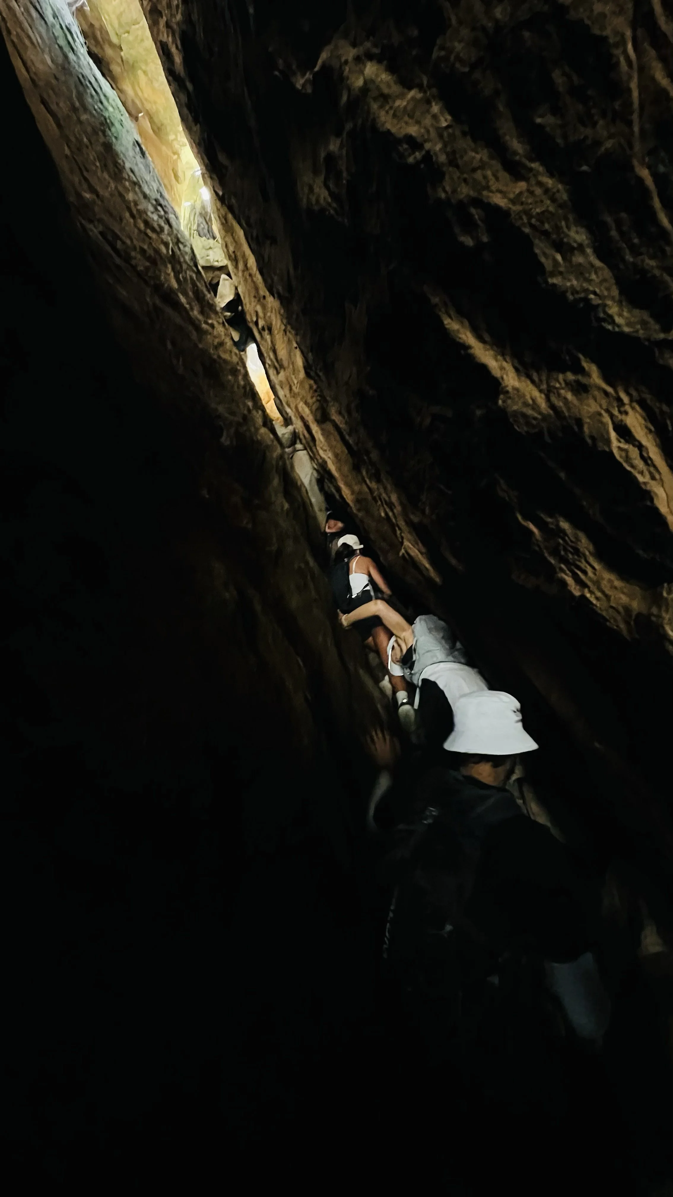
Panoramic views from peaks and a tight claustrophobic one way path through Wells Cave
-
Leaping across uneven rocky surfaces.
-
Climbing steep terrain using hands.
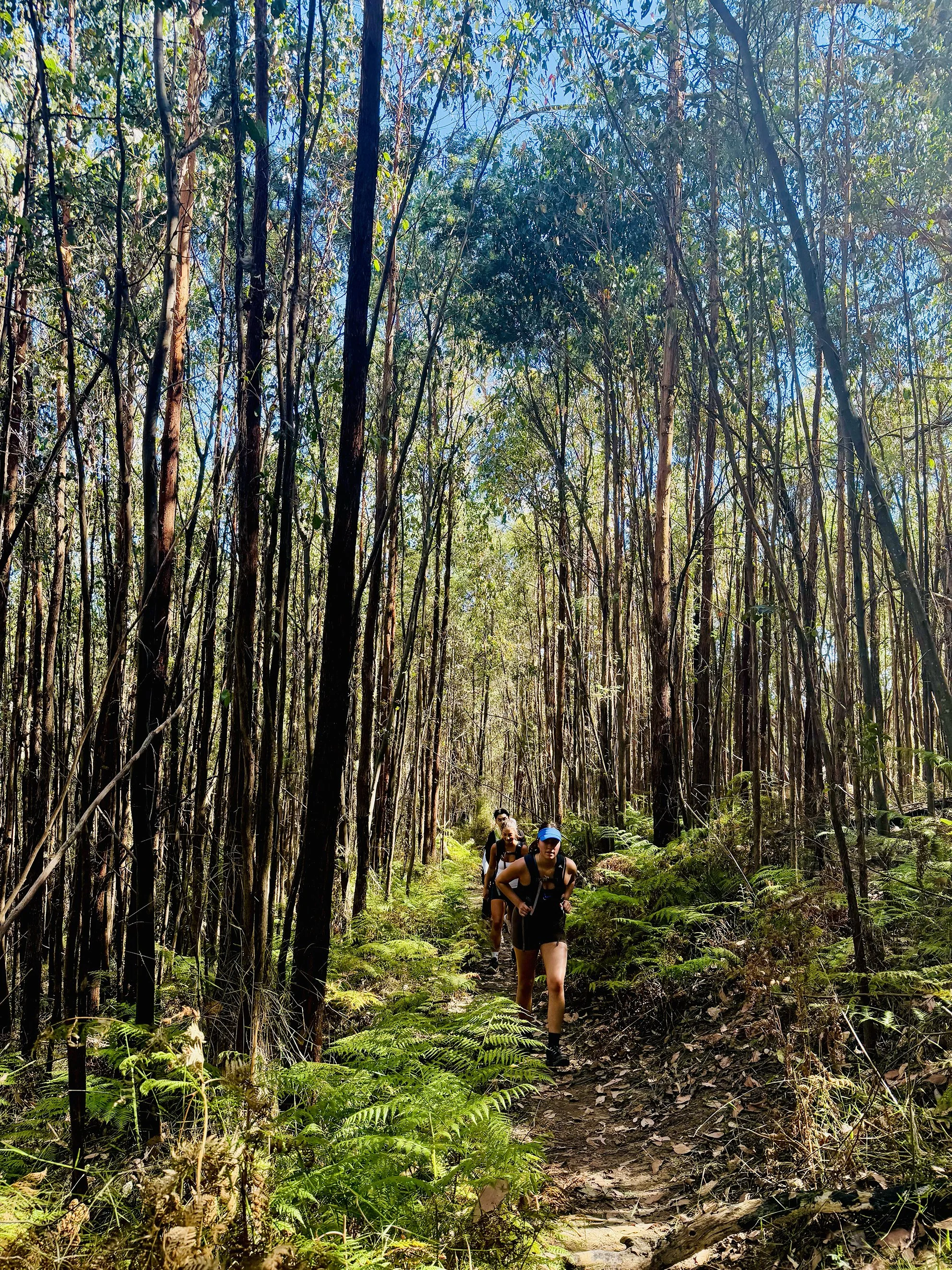
TERRAIN
Steep, rugged terrain with rock scrambles, exposed Razorback ridgelines, forested slopes, and dramatic cliffs. Climbs to Sugarloaf and South Jawbone Peaks offer panoramic views and challenging, rewarding alpine-style hiking.
GRADING & FITNESS
The Sugarloaf Peak via Wells Cave is a Grade 5 hike with steep, exposed ridges, rock scrambles and tight cave path. High fitness, hiking experience, and sure-footedness are essential for safety and enjoyment.
LUYIP ON HIKE WORKSHOP OPTIONS
LUYIP. ‘on hike’ workshops blend movement, nature, and inner work to help teams, fitness, sporting, and social groups reconnect, build resilience, and grow confidence, clarity, and cohesion outdoors. Find out more here.
GOURMET PLATTER & MEDIA COVERAGE
A gourmet spread of meats, cheeses, seasonal fruits foccacia and banana bread will be on offer at the end of the hike. Packages includes media coverage of your adventure by the accompanying HACO guides. View our food offer here.
DESTINATION & TRAVEL TIME
The starting point of this hike is on Tweed Spur Rd, Taggerty VIC and is approximately a 2hr 5min drive from the Melbourne CBD. You can click the button below to obtain the hiking starting point co-ordinates on google maps.