KINGLAKE LOOP VIA MASONS FALLS
-

GRADING
-

FITNESS
Easy-Moderate
-

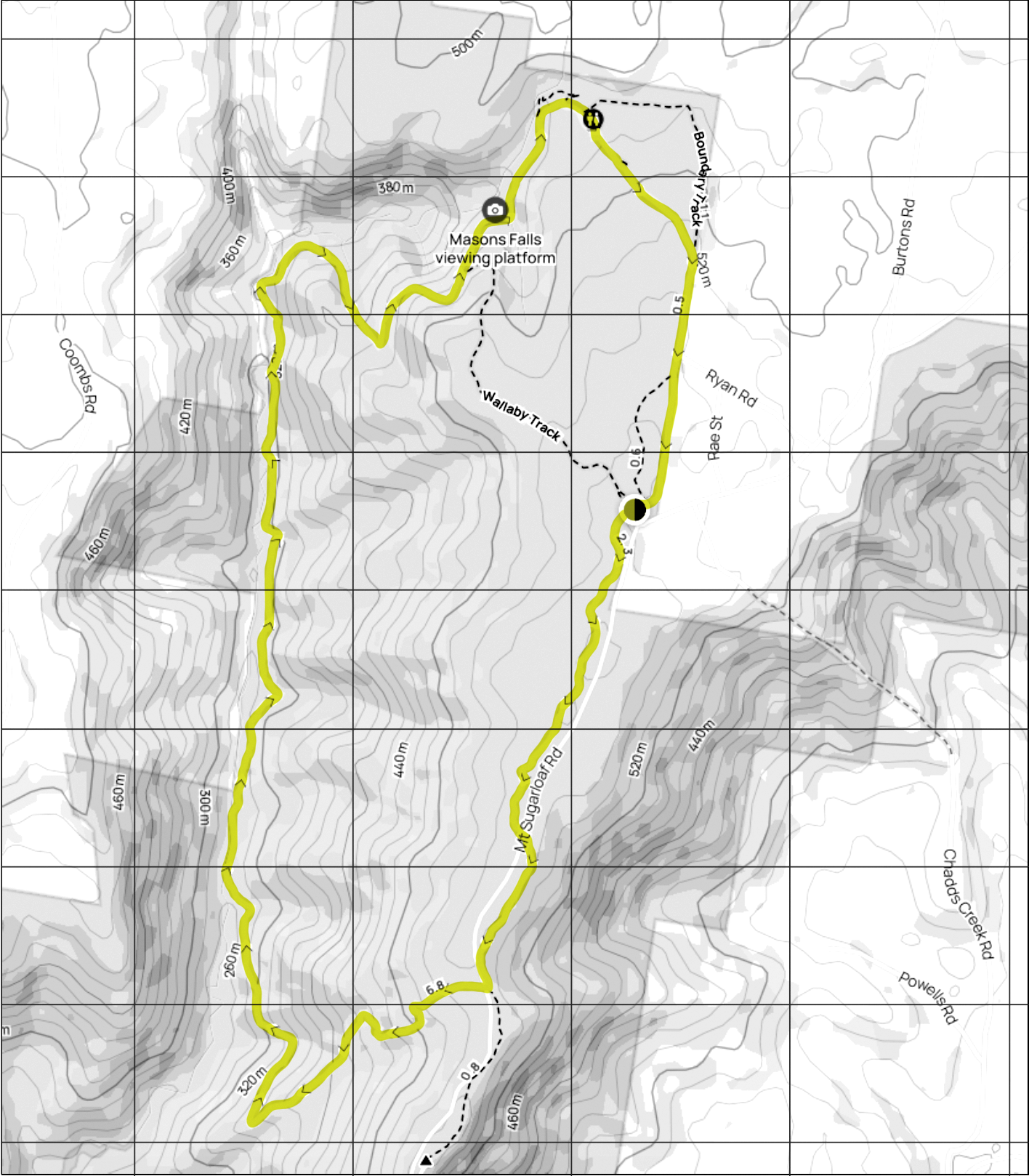
DISTANCE
12 km
-

DURATION
Approx 3-4 hrs
-

ELEVATION
466 metres
-

CALORIES
Approx 1,040 cal

-
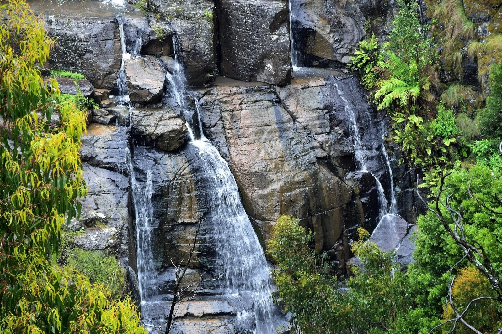
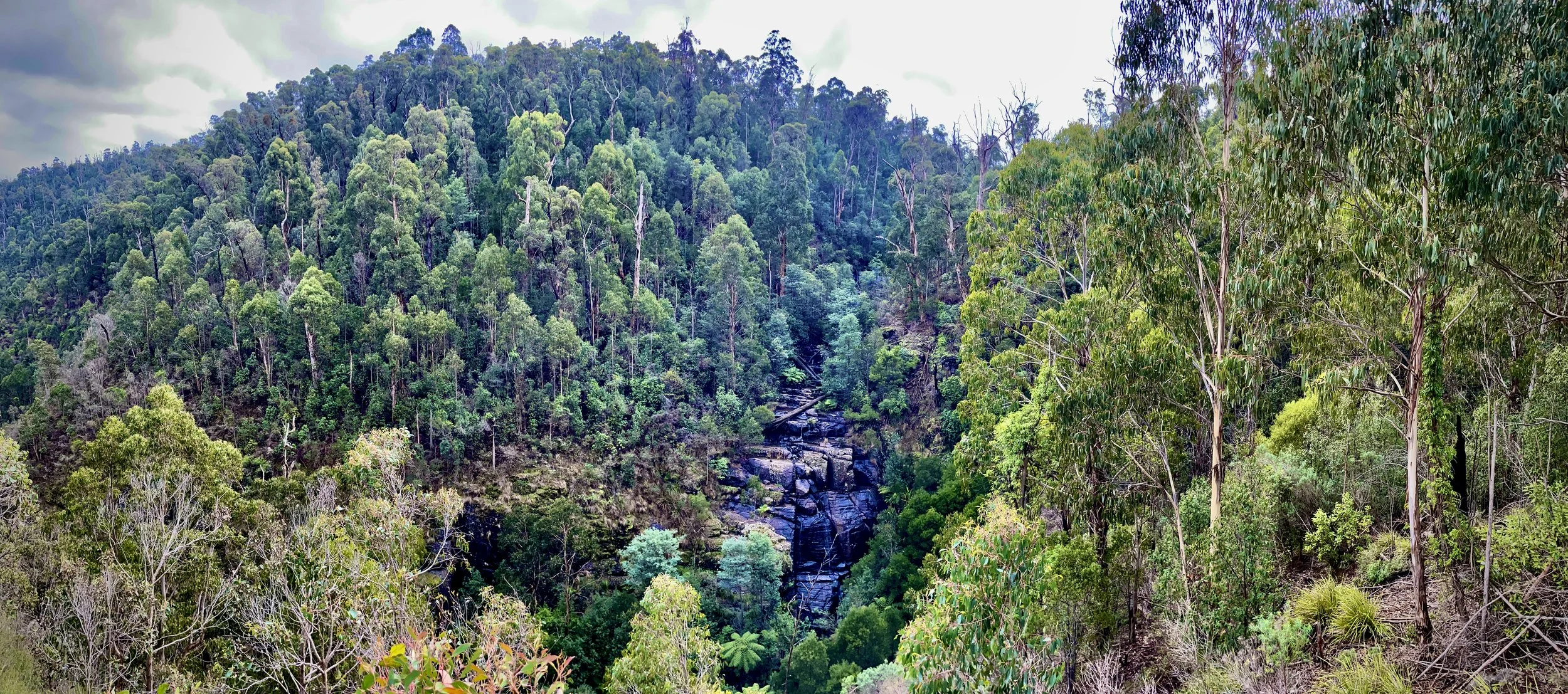
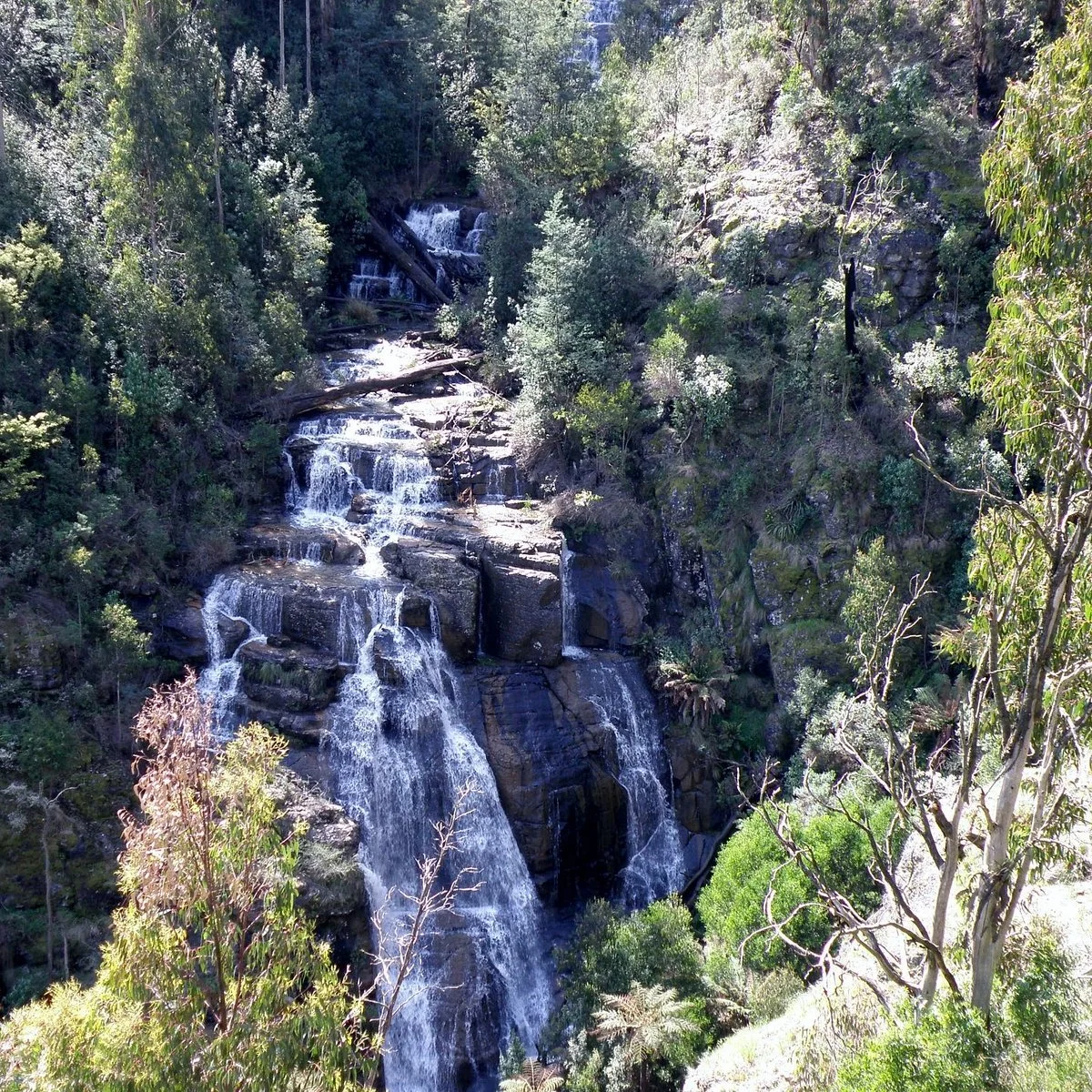
Ferny trail with Waterfall views
TERRAIN
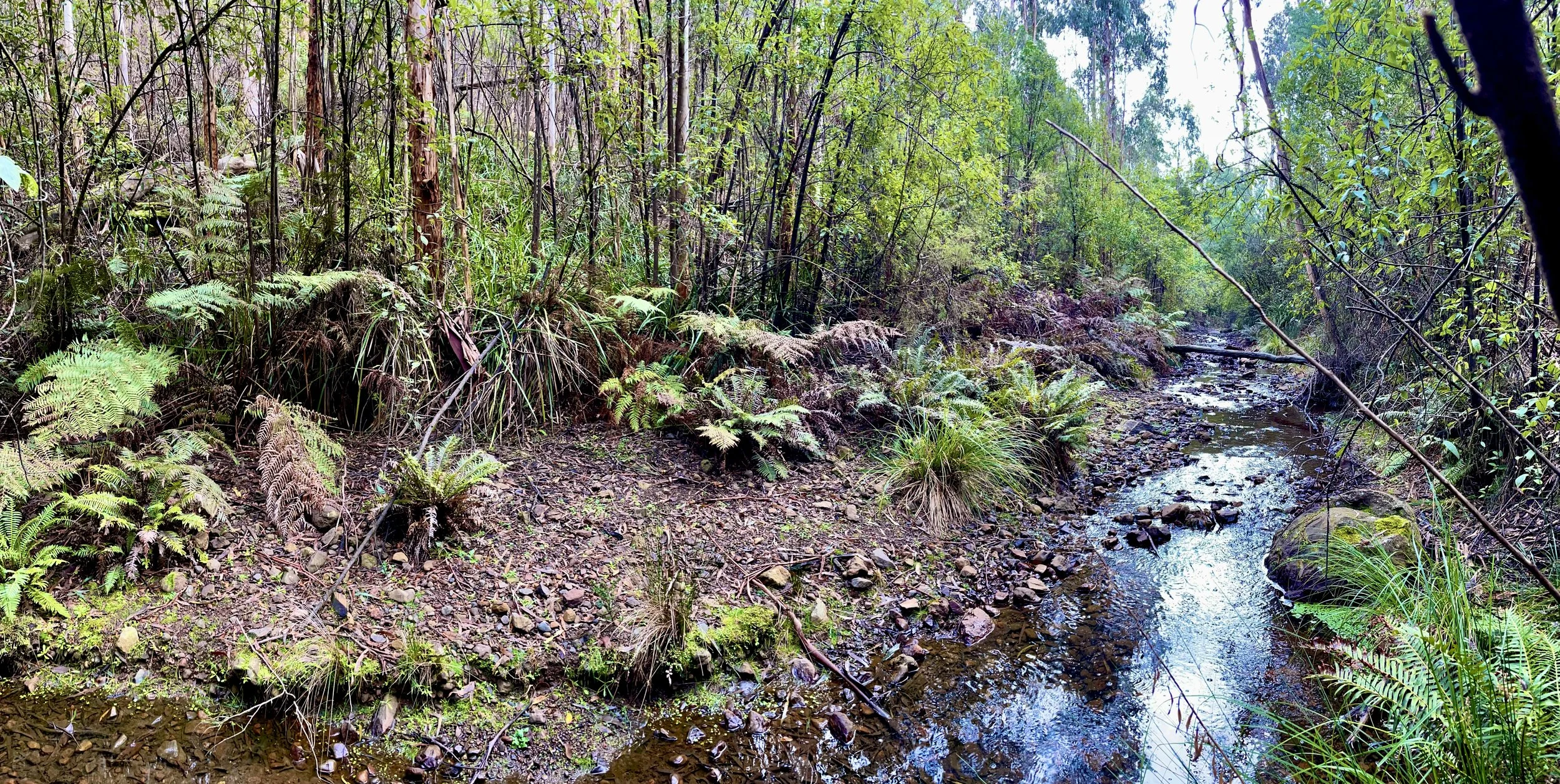
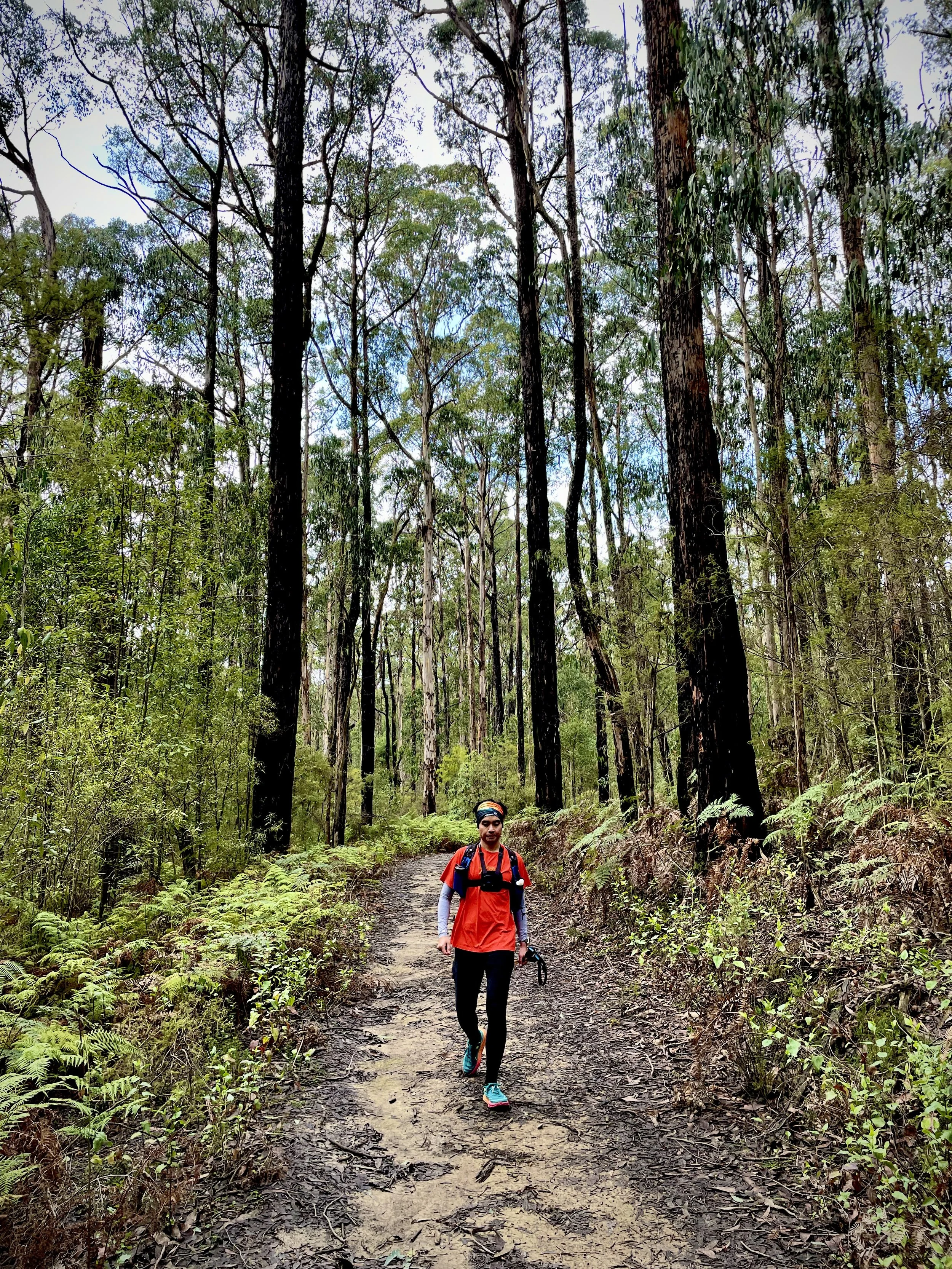
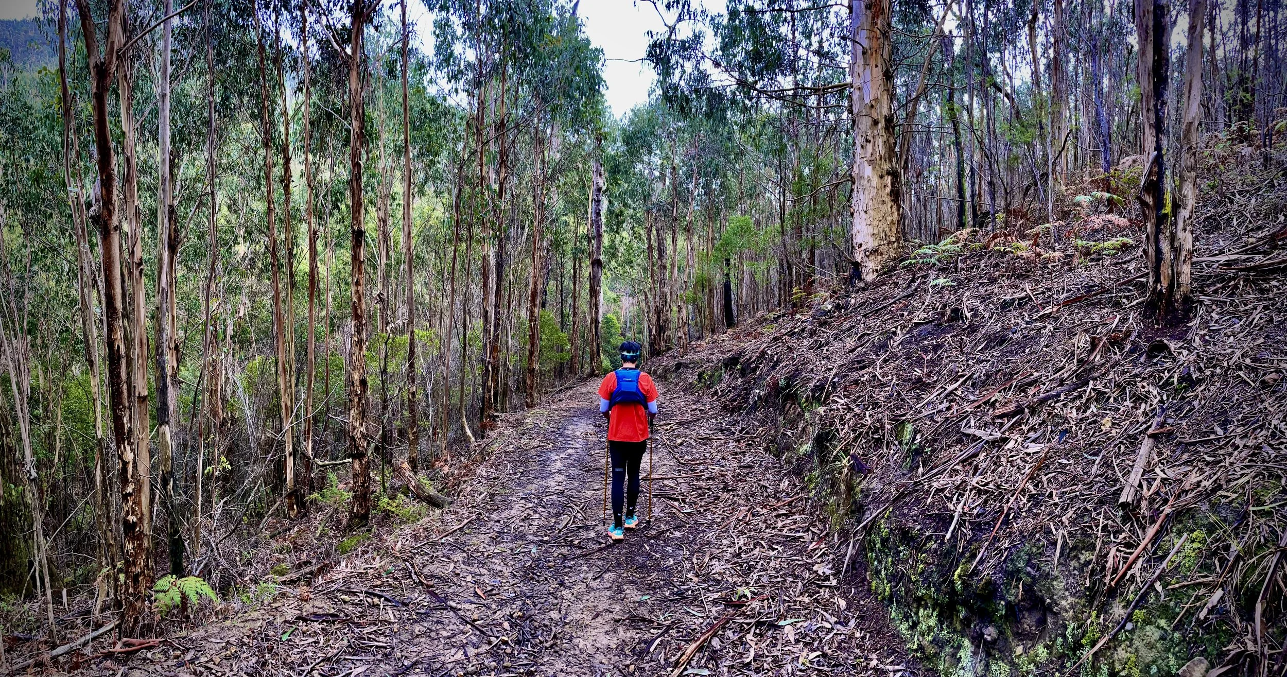
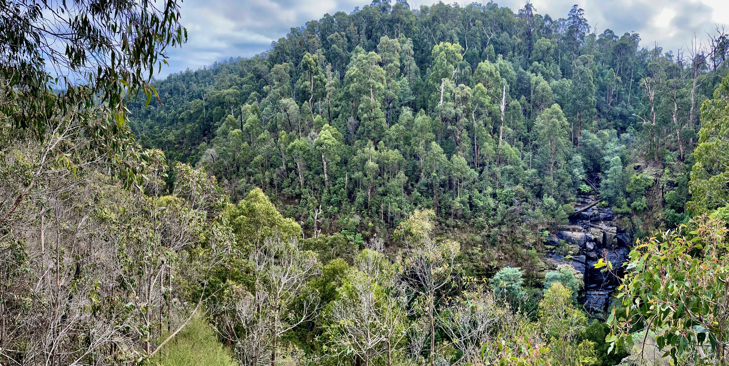
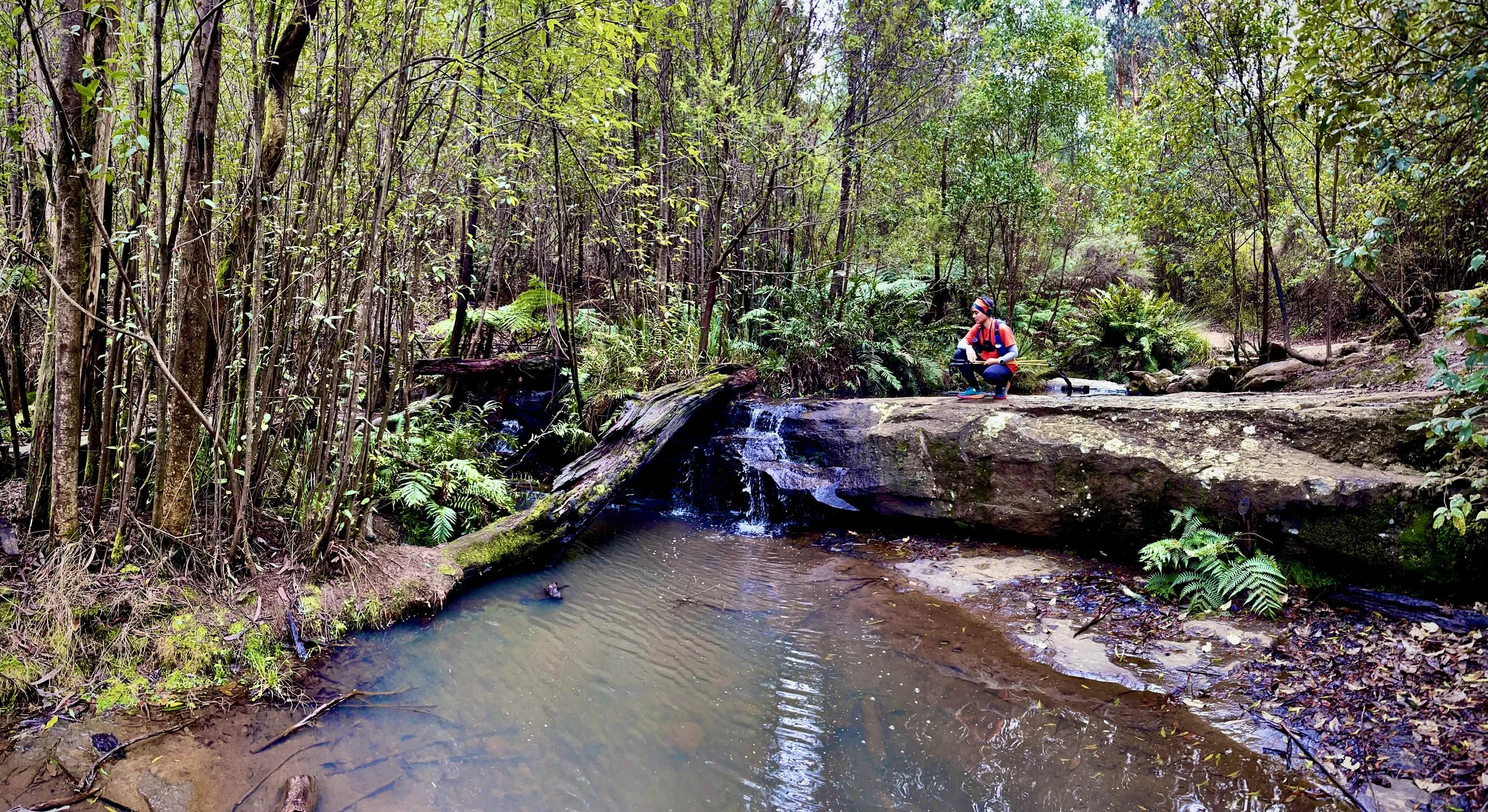
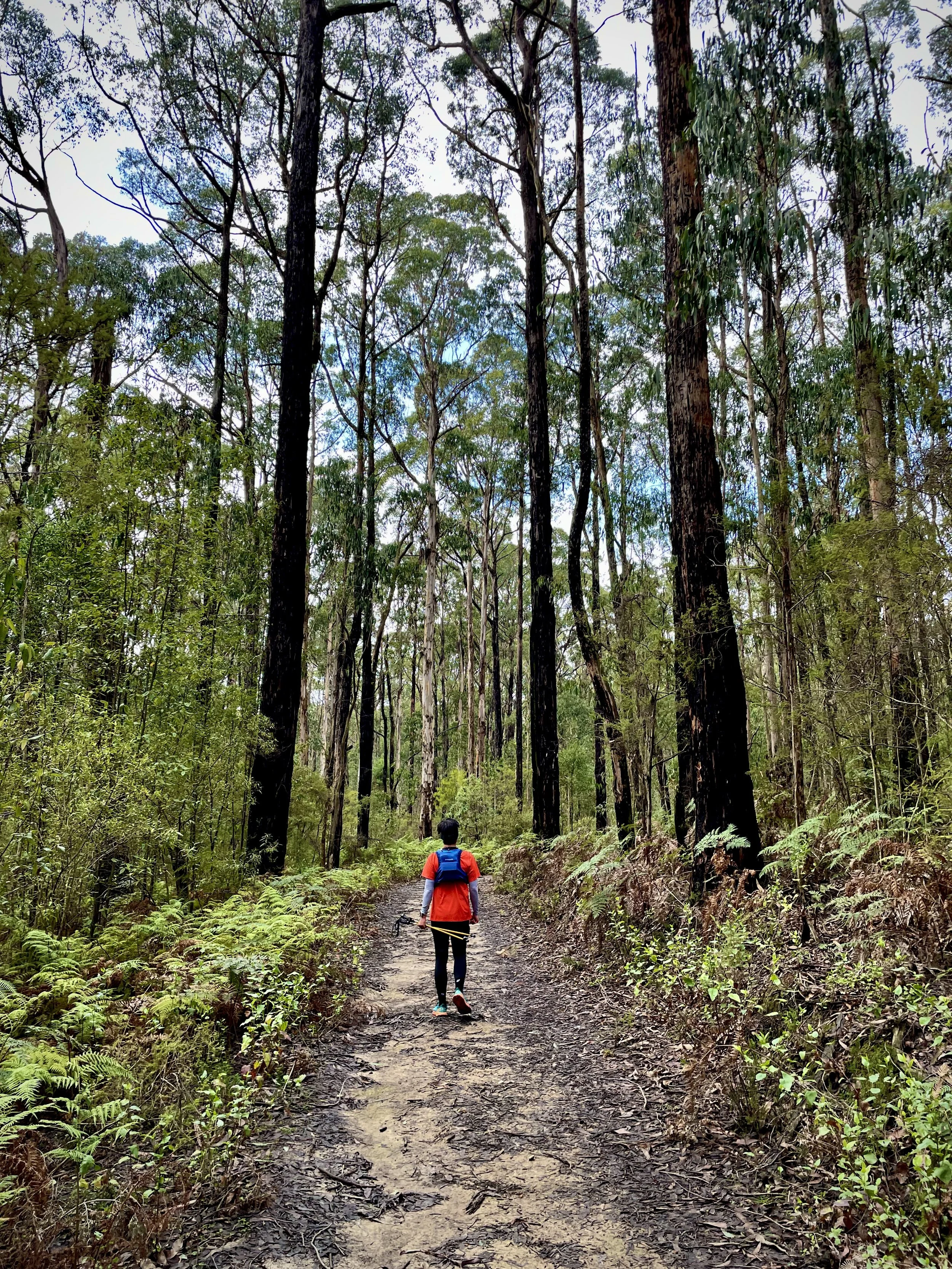
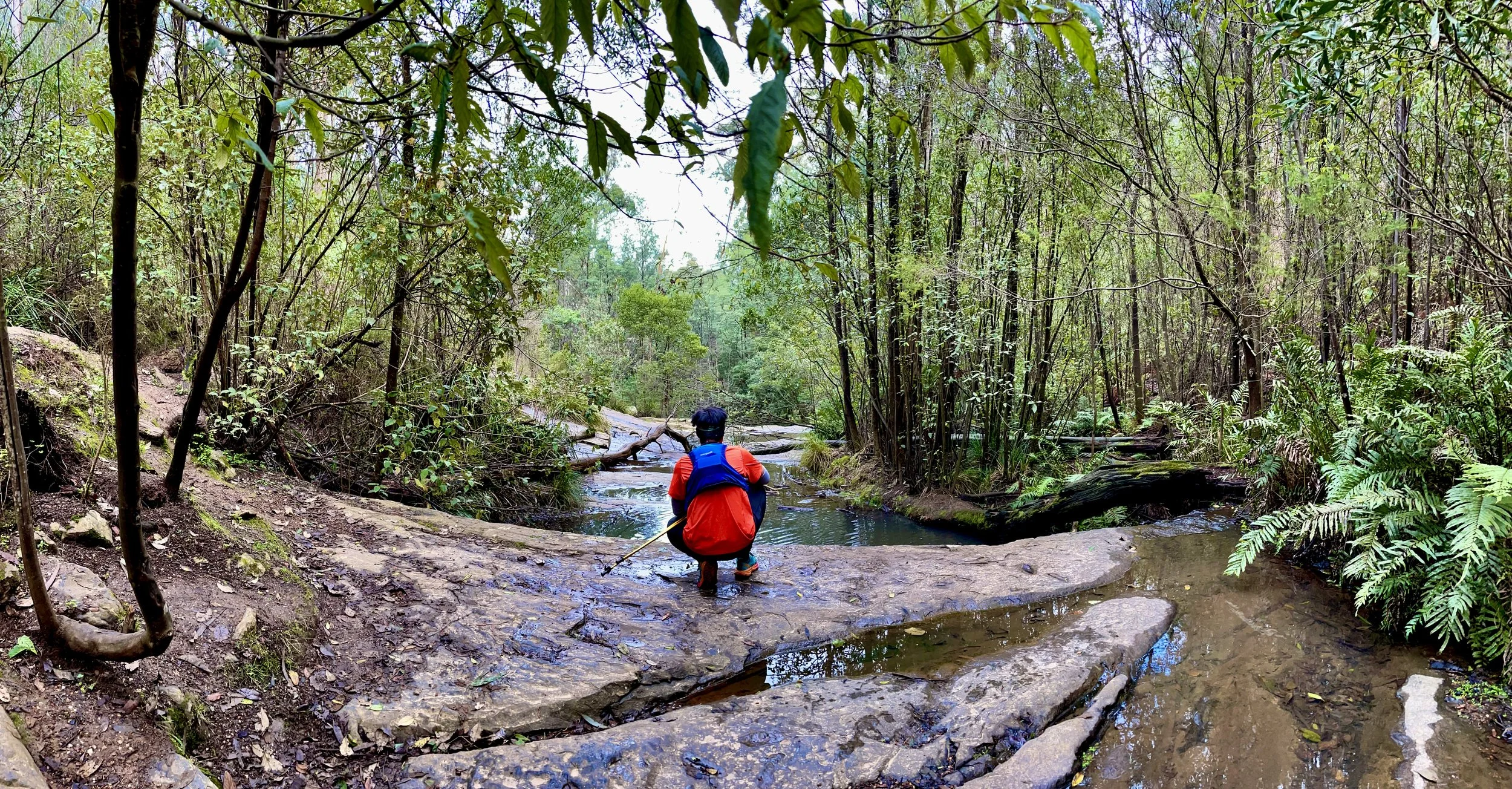
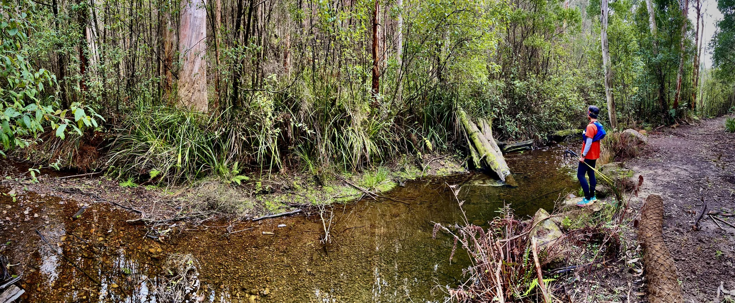
The Masons Falls Kinglake loop features well-formed dirt tracks through eucalypt forest, with gentle hills, occasional steeper sections, creek crossings, and shaded, damp areas along the trail.
GRADING & FITNESS
The Masons Falls Kinglake loop is graded Grade 2–3 (easy to moderate) and requires basic to moderate fitness, with well-formed tracks, some hills, and varying distances requiring reasonable endurance.
GOURMET PLATTER & MEDIA COVERAGE
A gourmet spread of meats, cheeses, seasonal fruits foccacia and banana bread will be on offer at the end of the hike. Packages includes media coverage of your adventure by the accompanying HACO guides. View our food offer here.
DESTINATION & TRAVEL TIME
The starting point of this hike is at the Blackwood Picnic Area, Kinglake West VIC 3757 and is approximately an 1hr 14min drive from the Melbourne CBD. You can click the button below to obtain the hiking starting point co-ordinates on google maps.