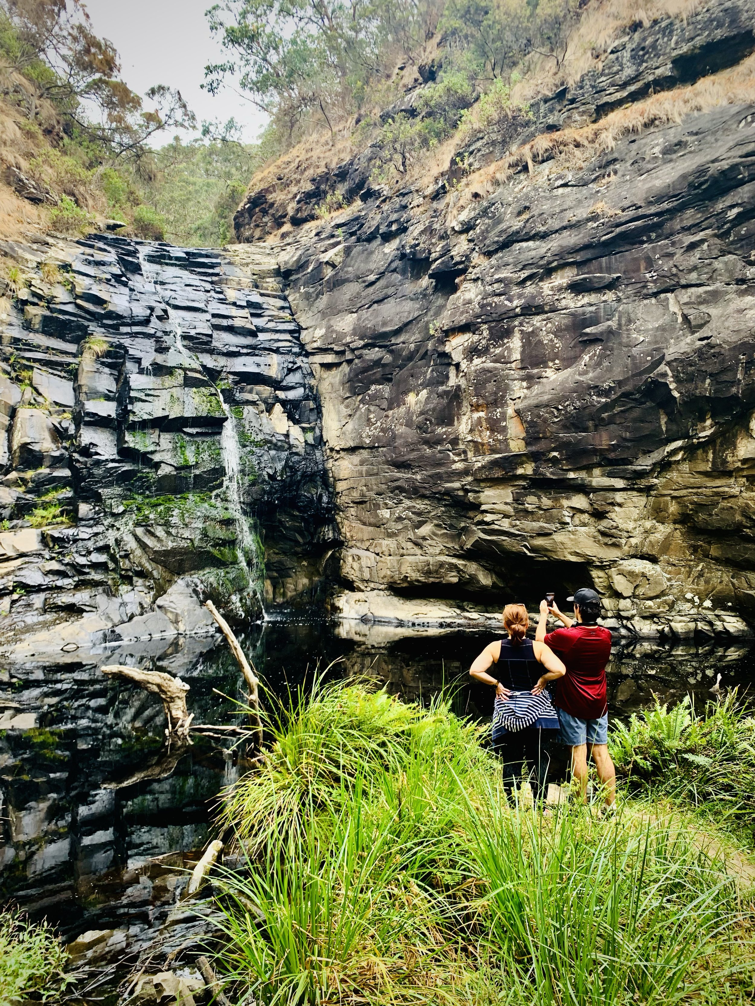
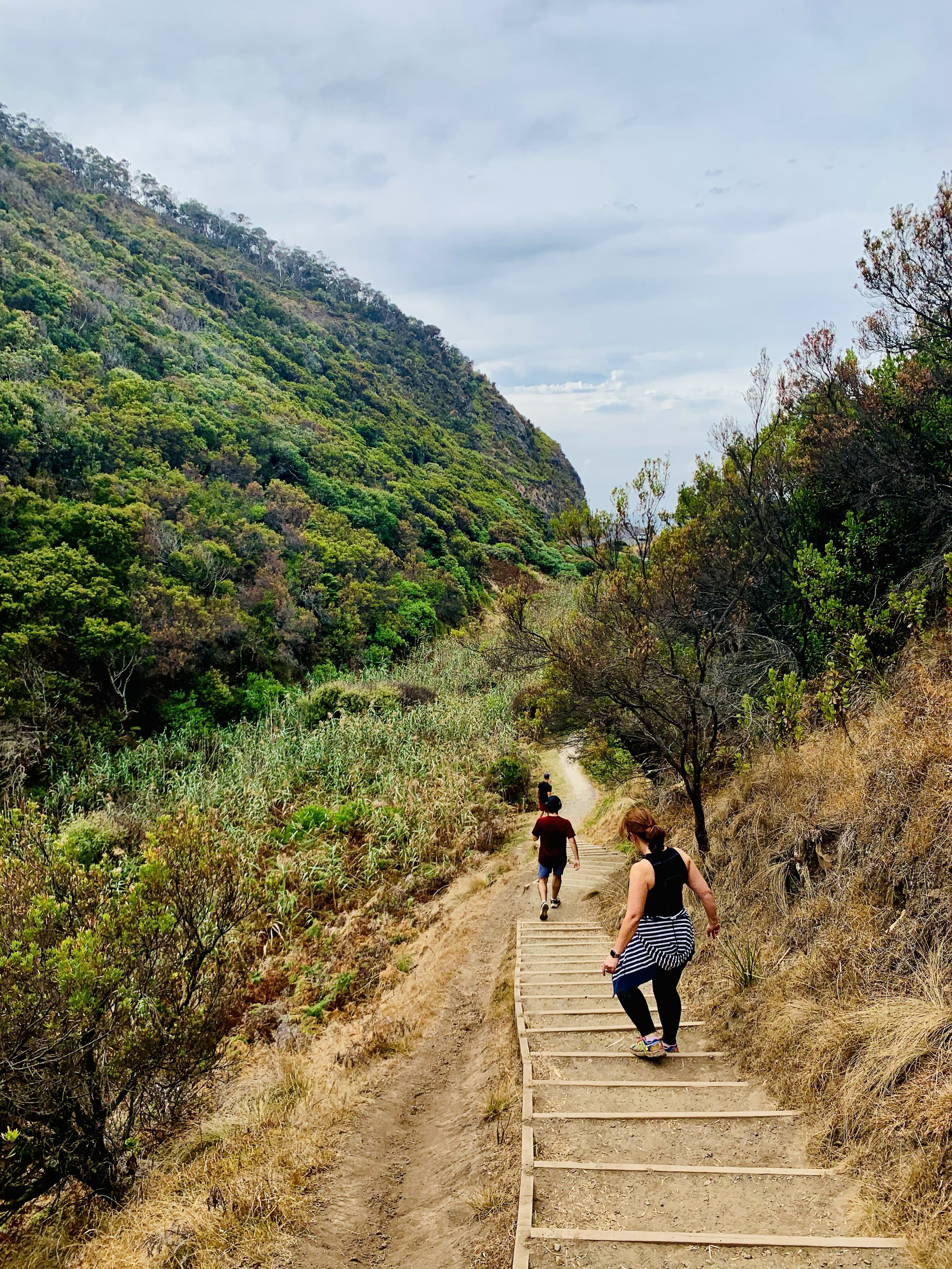
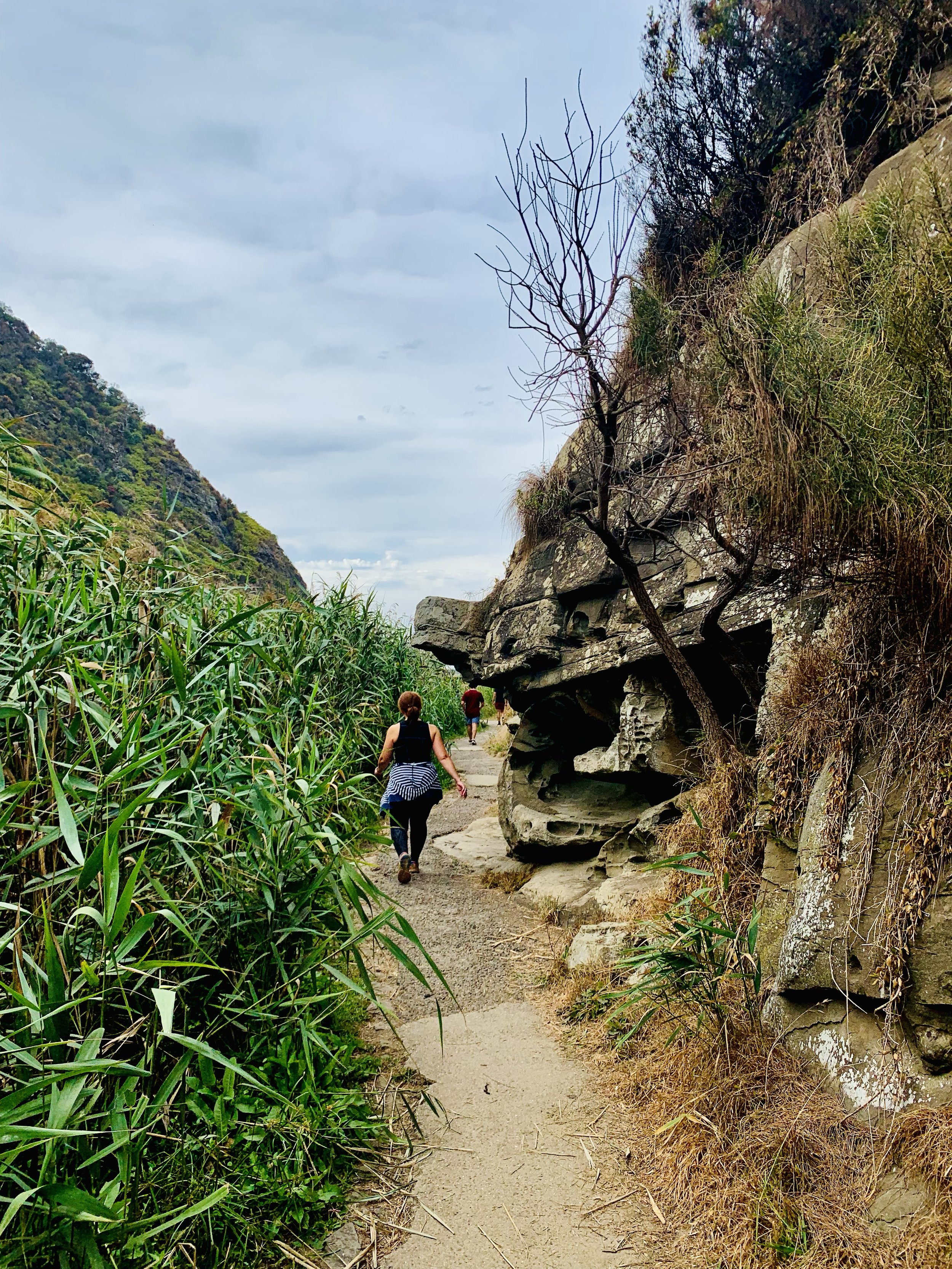
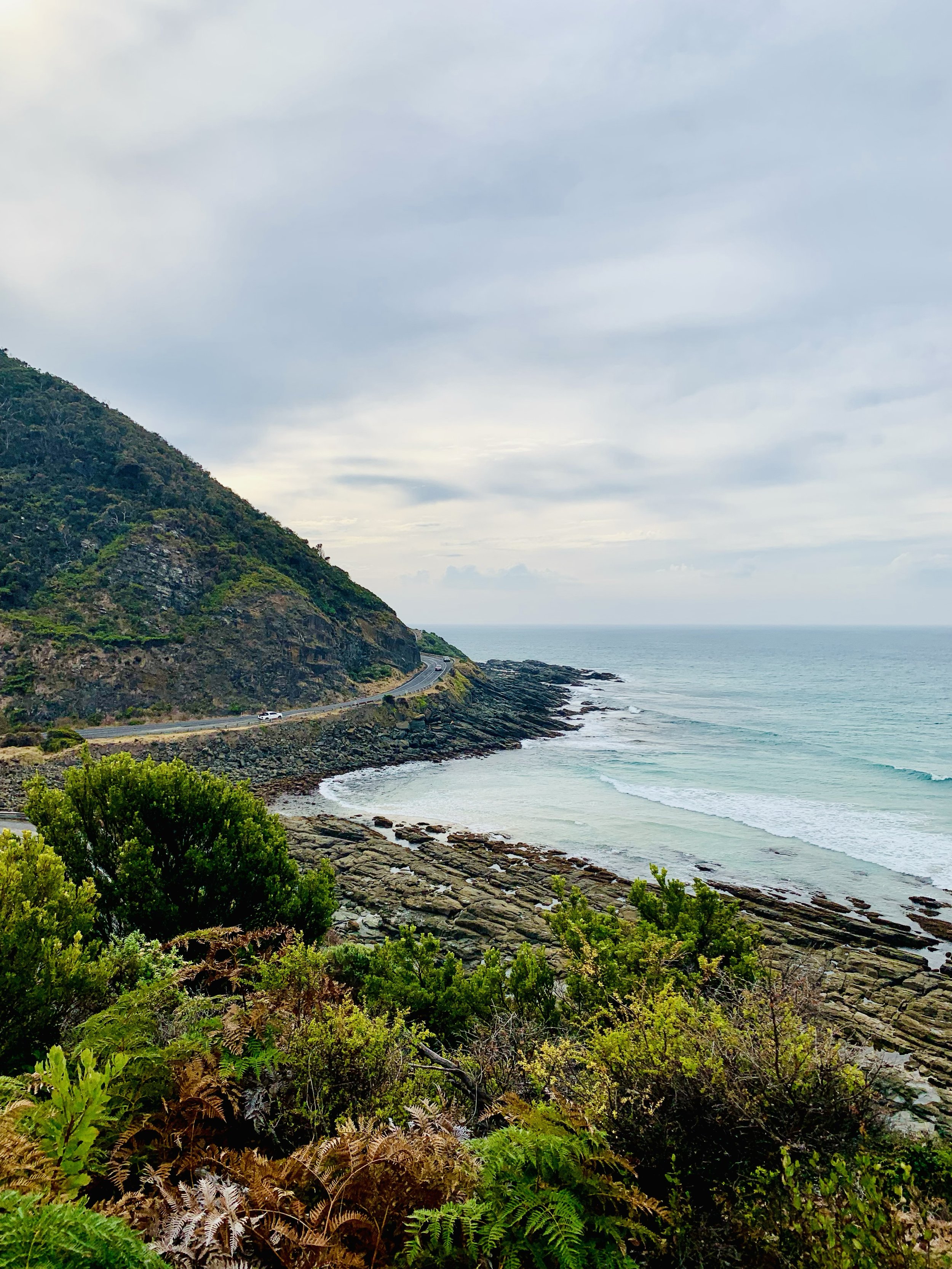
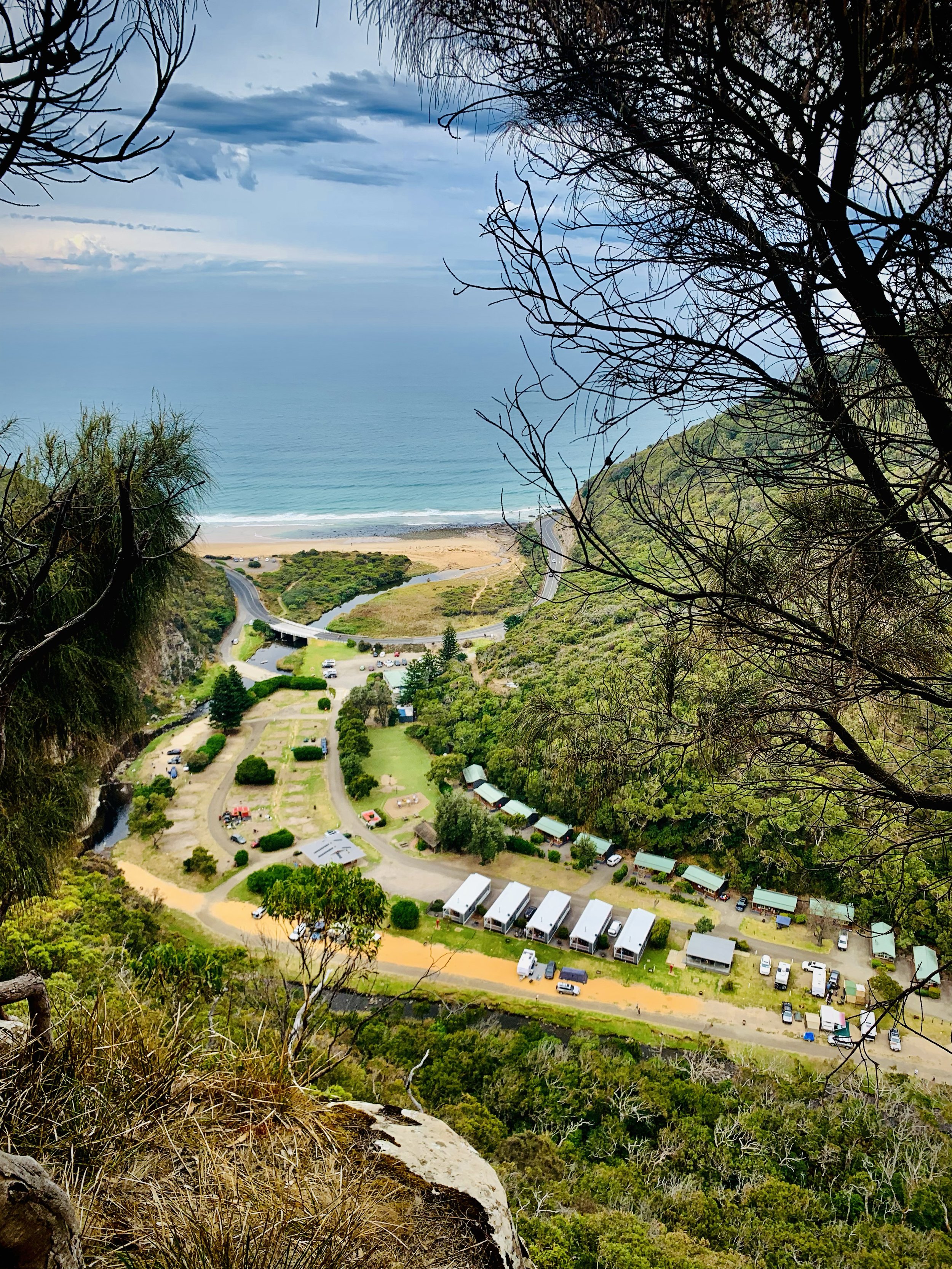
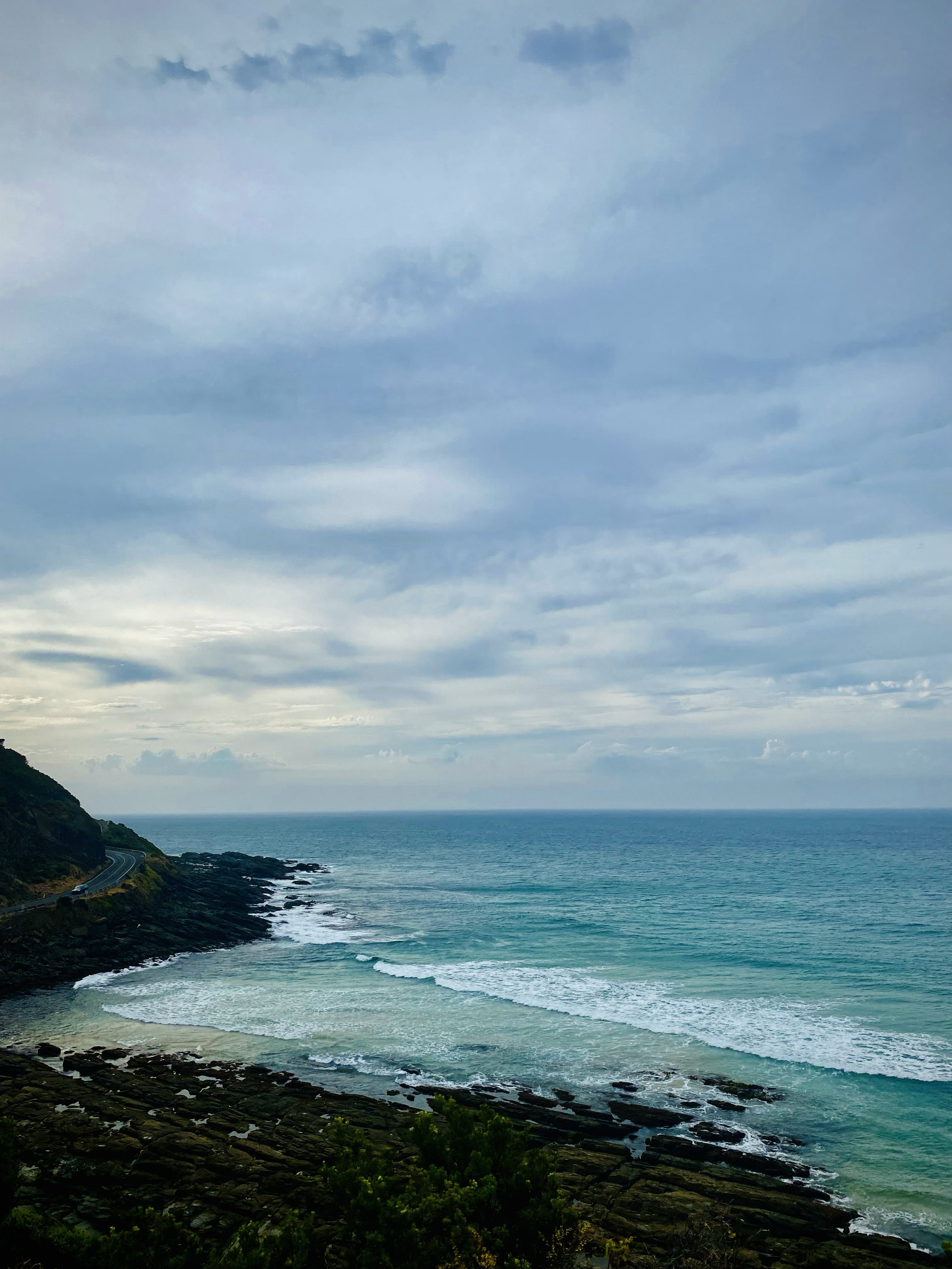
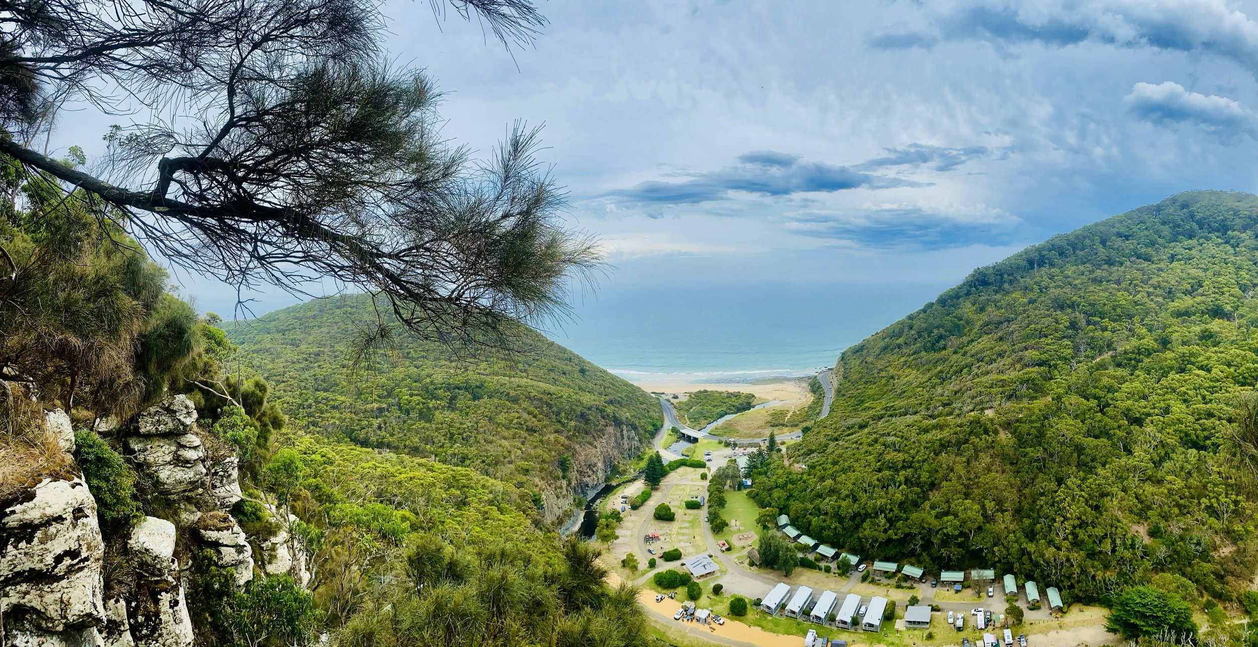
SHEOAK FALLS AND CASTLE ROCK
-

GRADING
-

FITNESS
Moderate
-

DISTANCE
9.7 km
-

DURATION
Approx 3 hrs
-

ELEVATION
401 metres
-

CALORIES
Approx 650 cal


-
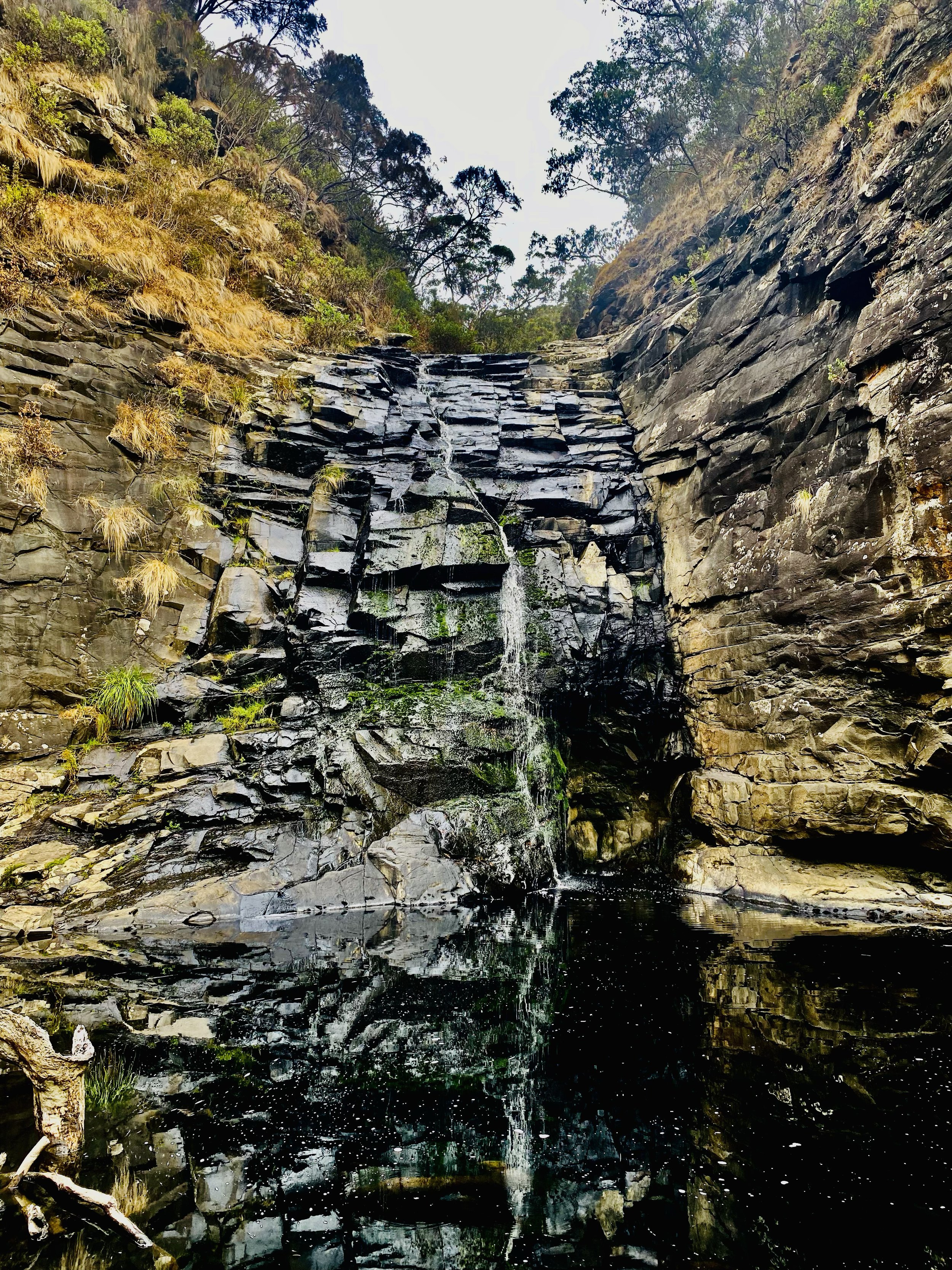
Waterfall and Scenic Views
TERRAIN
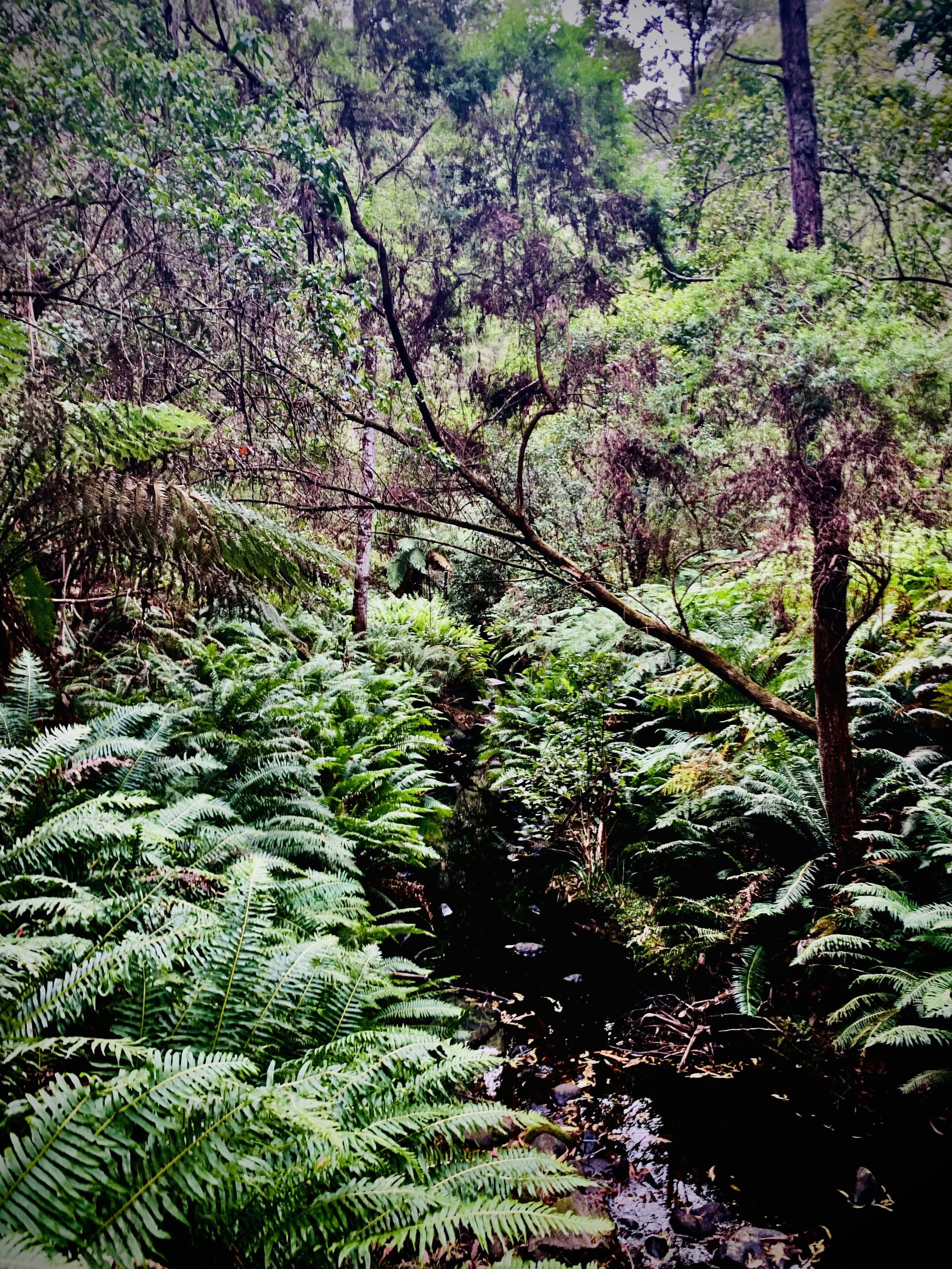
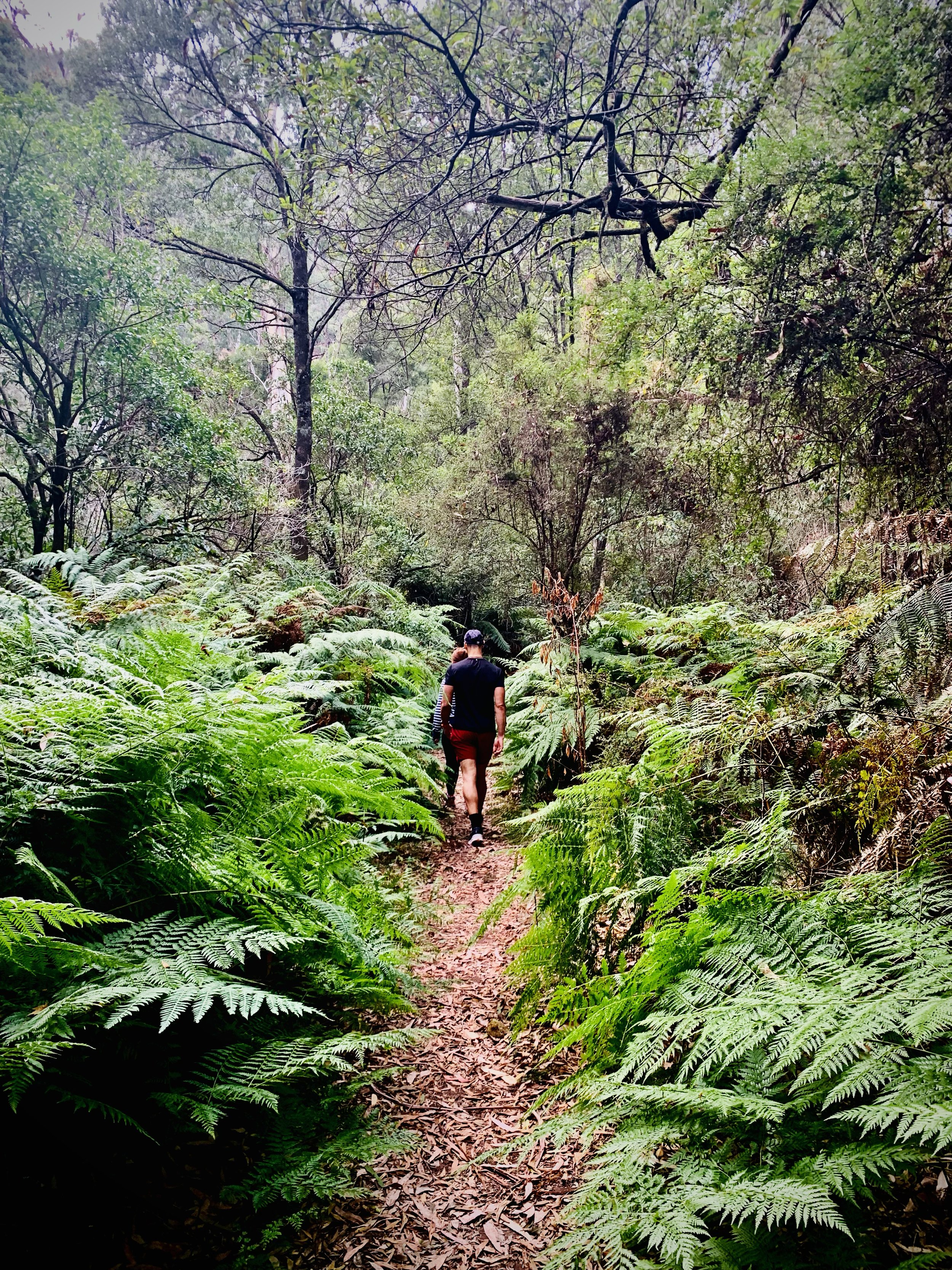
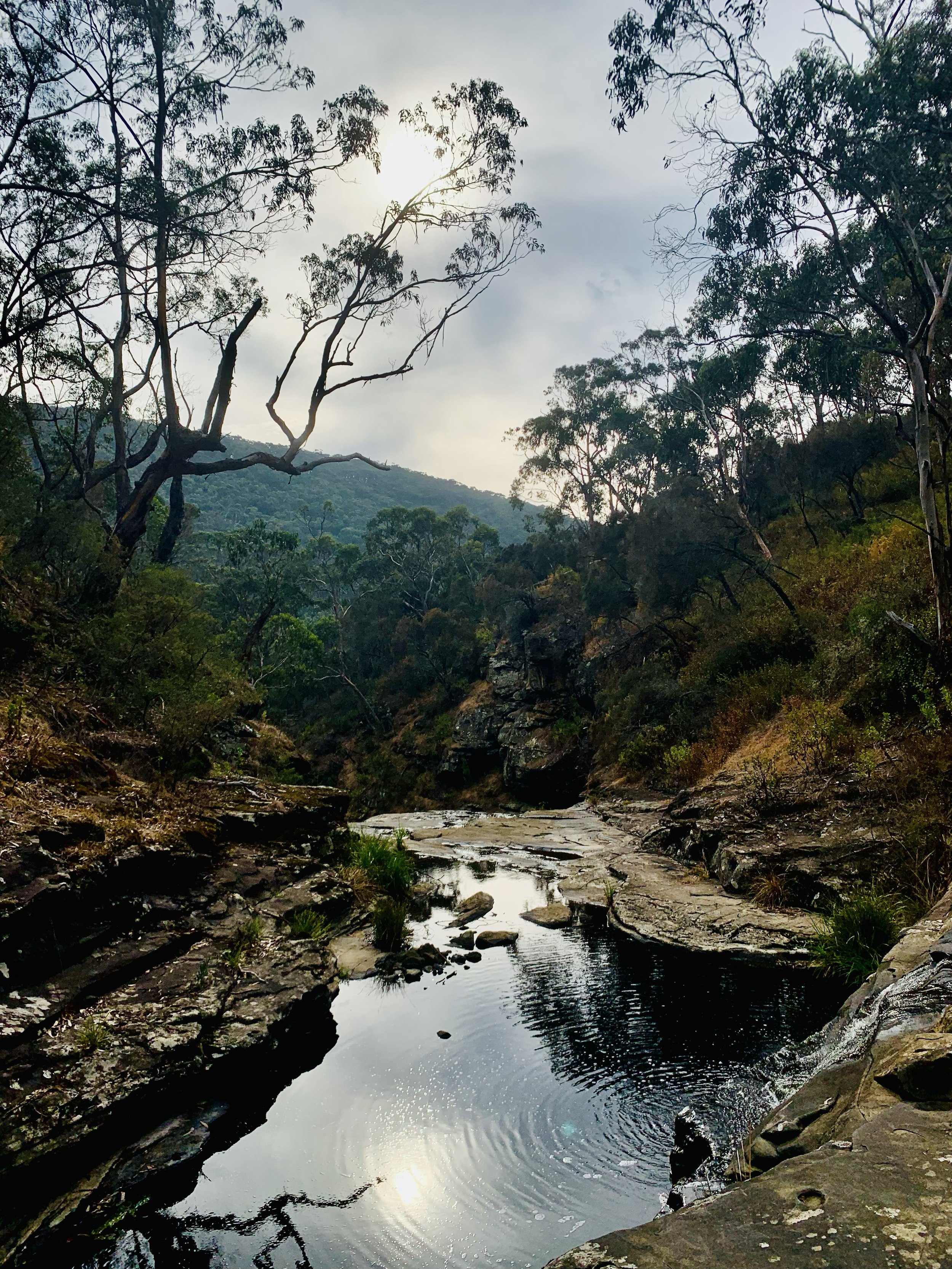
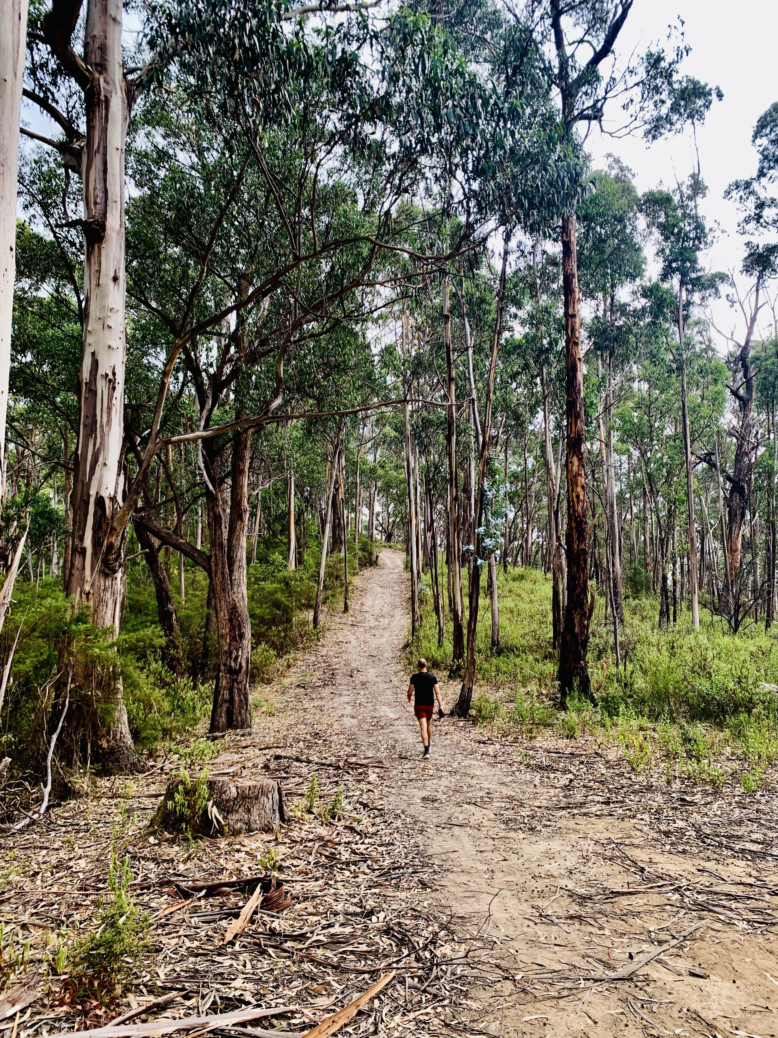
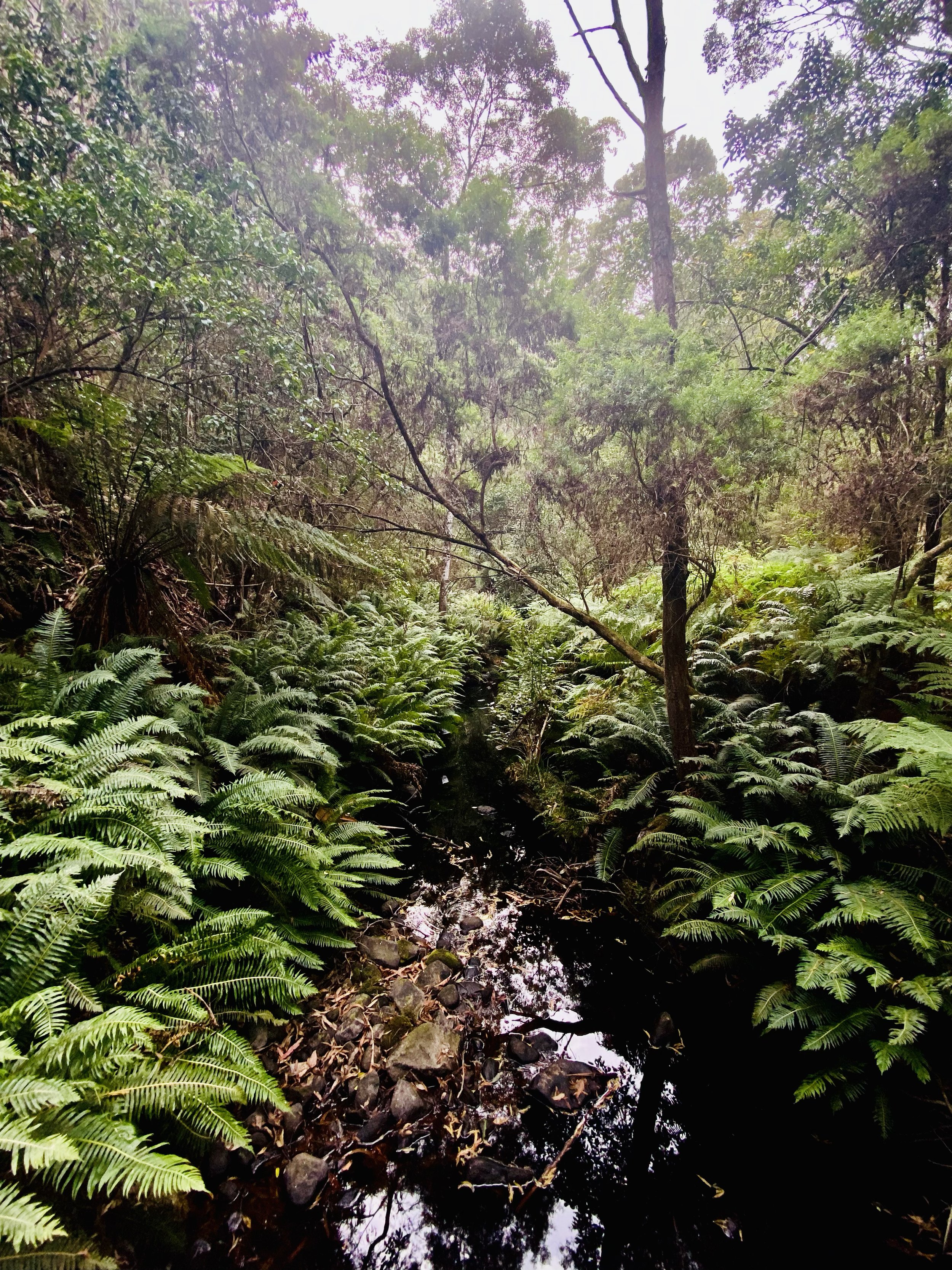
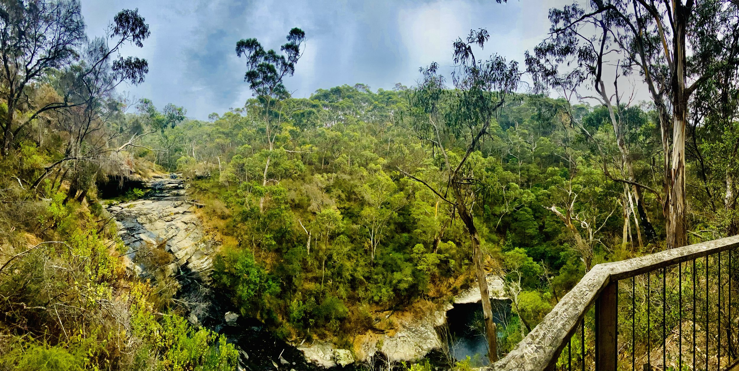
The Sheoak Falls and Castle Rock trail features compacted earth, rocky outcrops, stone steps, forested paths, creek crossings, and steep inclines, offering varied terrain through lush gullies and scenic coastal hinterland.
GRADING & FITNESS
This trail is rated Grade 3 due to uneven surfaces, moderate inclines, stone steps, and creek crossings. The trail suits reasonably fit walkers with some experience, though no technical skills are required.
GOURMET PLATTER & MEDIA COVERAGE
A gourmet spread of meats, cheeses, seasonal fruits foccacia and banana bread will be on offer at the end of the hike. Packages includes media coverage of your adventure by the accompanying HACO guides. View our food offer here.
DESTINATION & TRAVEL TIME
The starting point of this hike is in the coastal town of Lorne and is approximately a 2hrs 20min min drive from the Melbourne CBD. You can click the button below to obtain the hiking starting point co-ordinates on google maps.