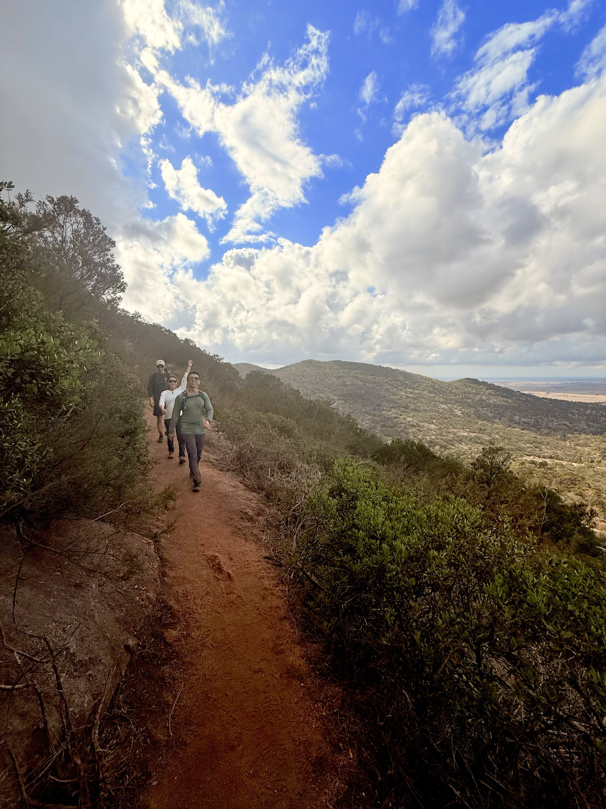
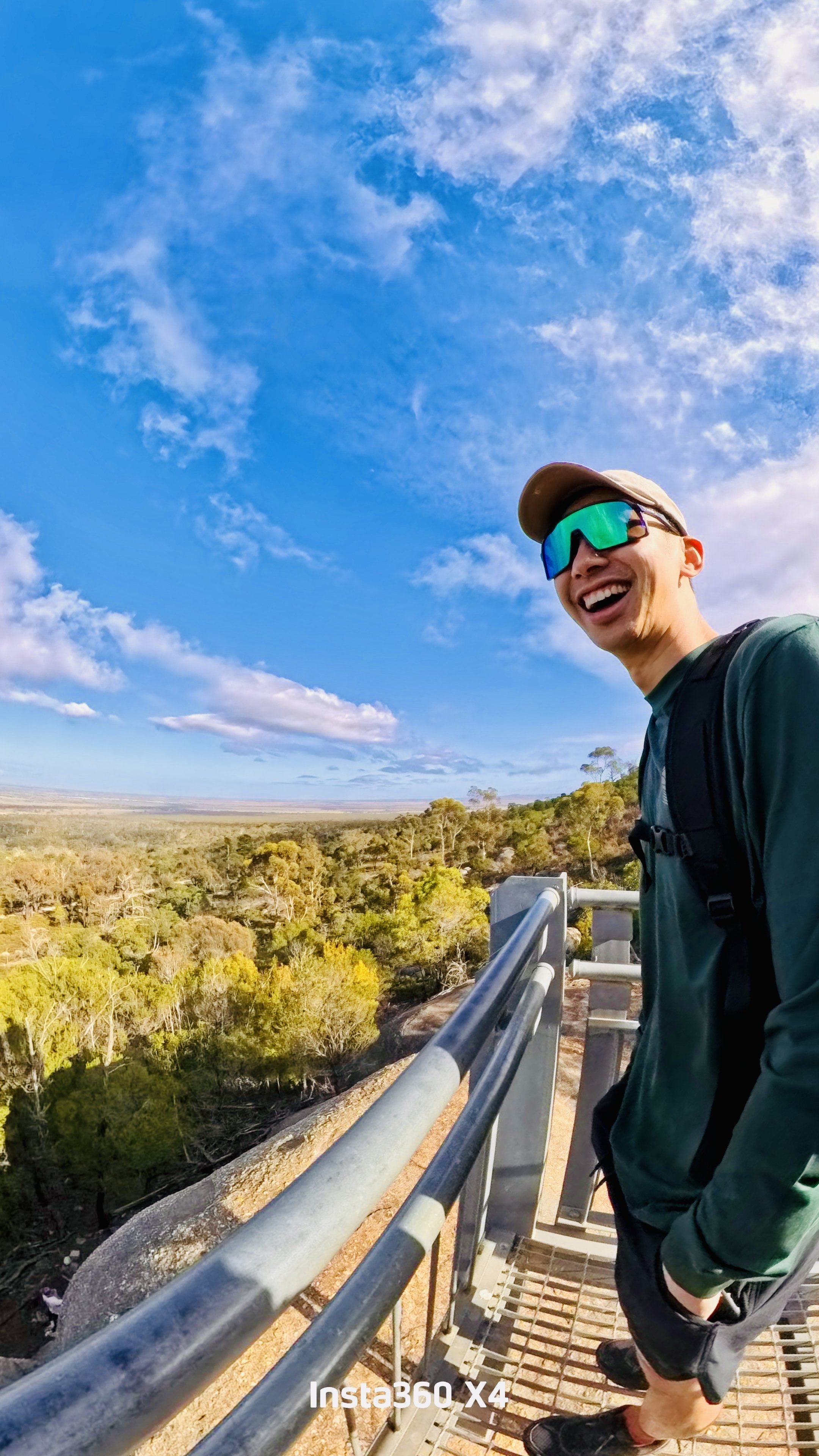
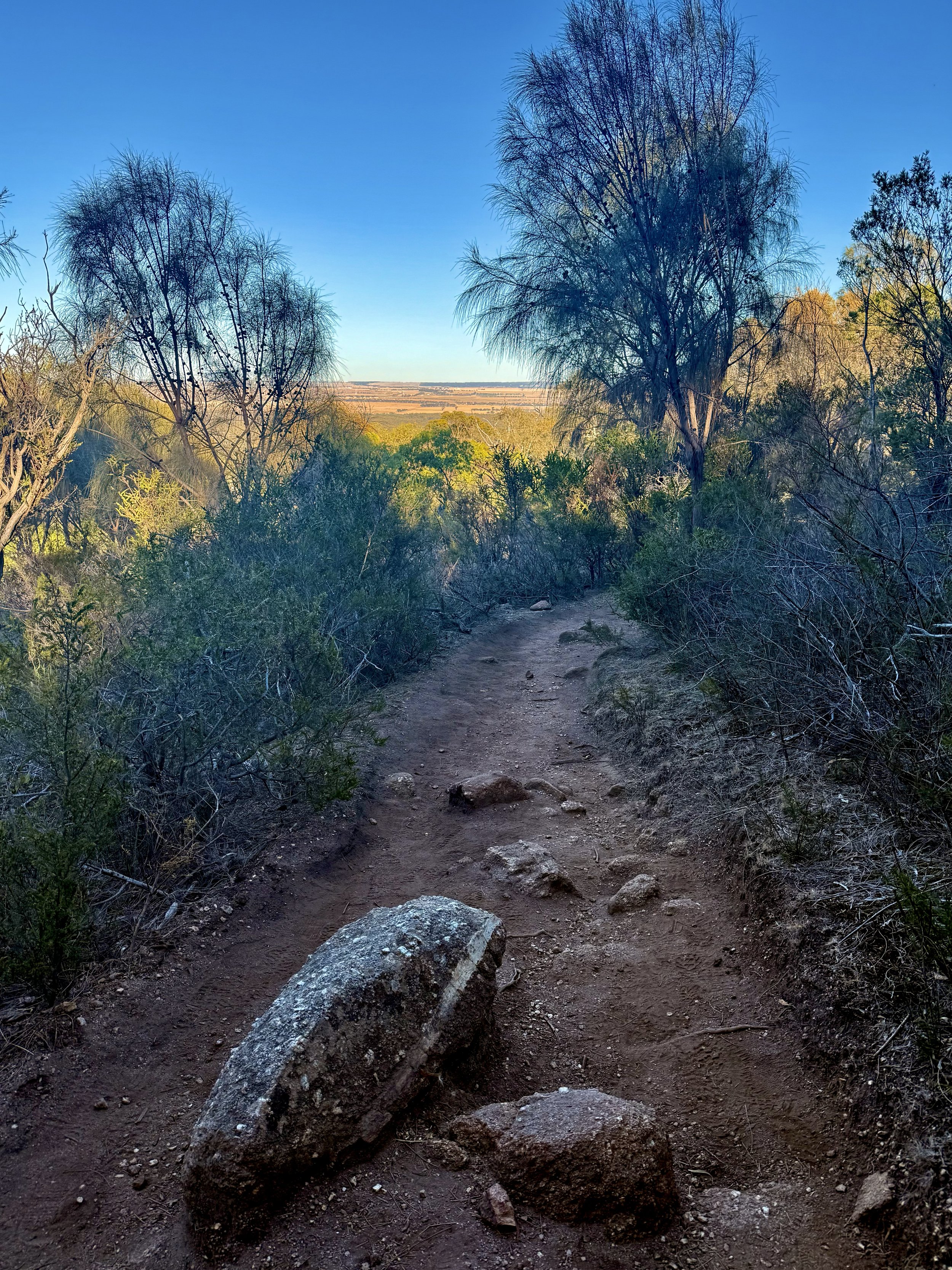
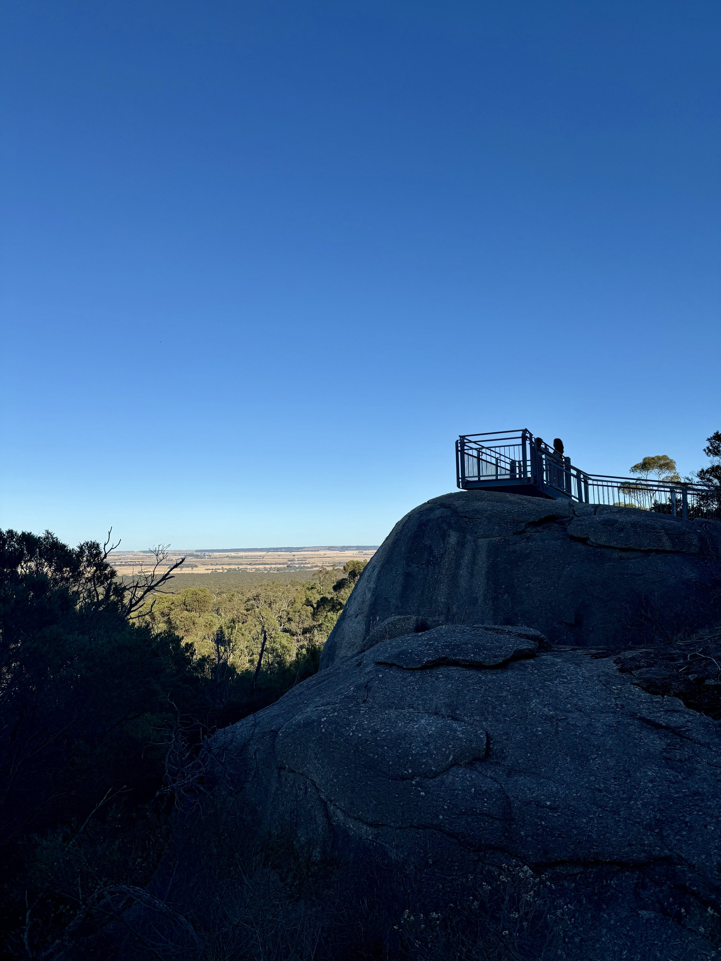
YOU YANGS NORTHERN RANGE CIRCUIT TRACK
-

GRADING
-

FITNESS
Moderate
-

DISTANCE
12 km
-

DURATION
Approx 3 hrs
-

ELEVATION
454 metres
-

CALORIES
Approx 1,130 cal


-
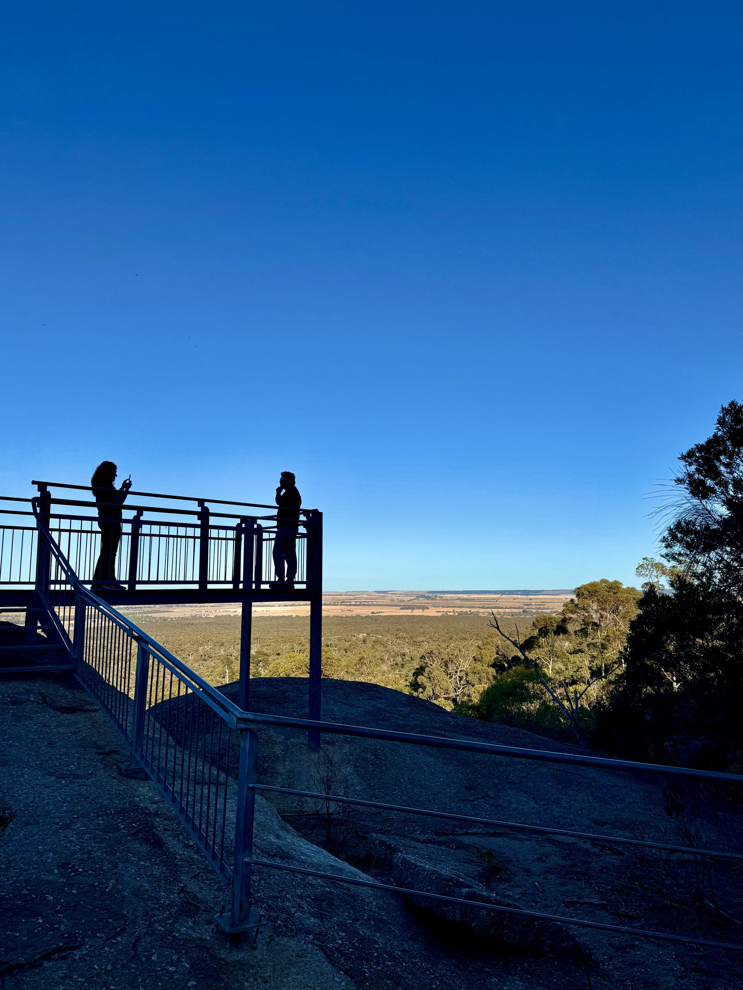
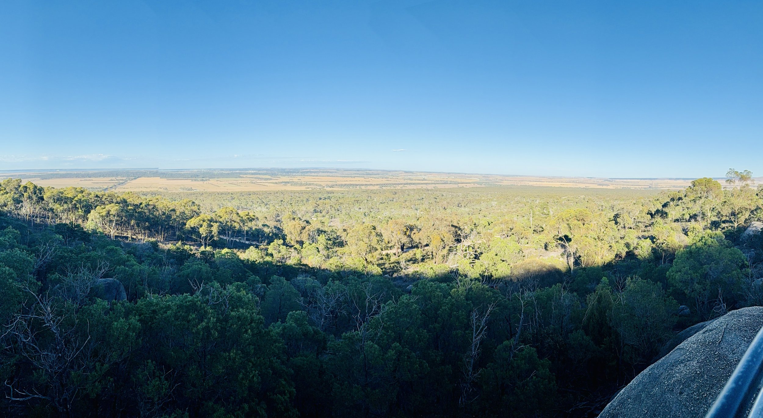
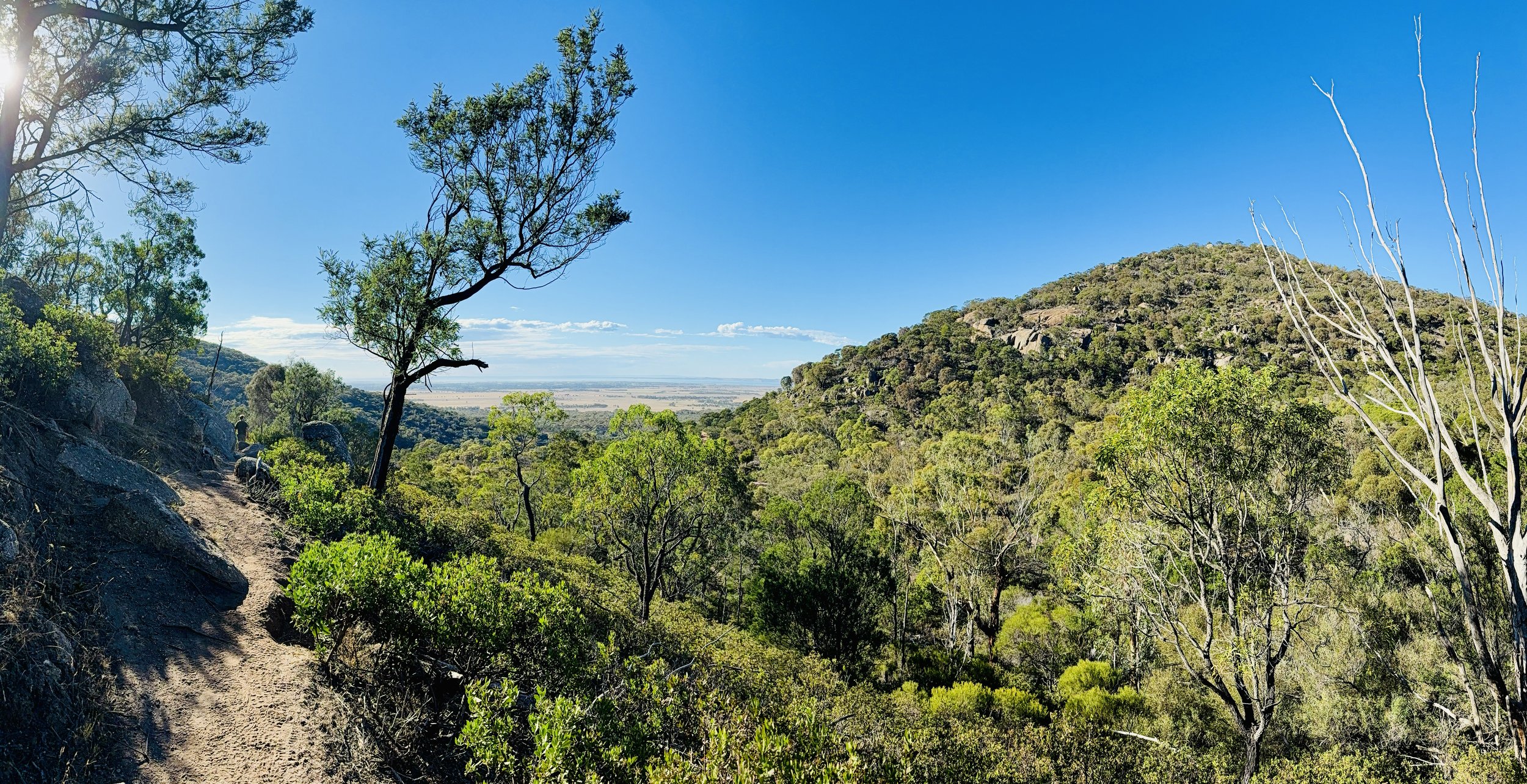
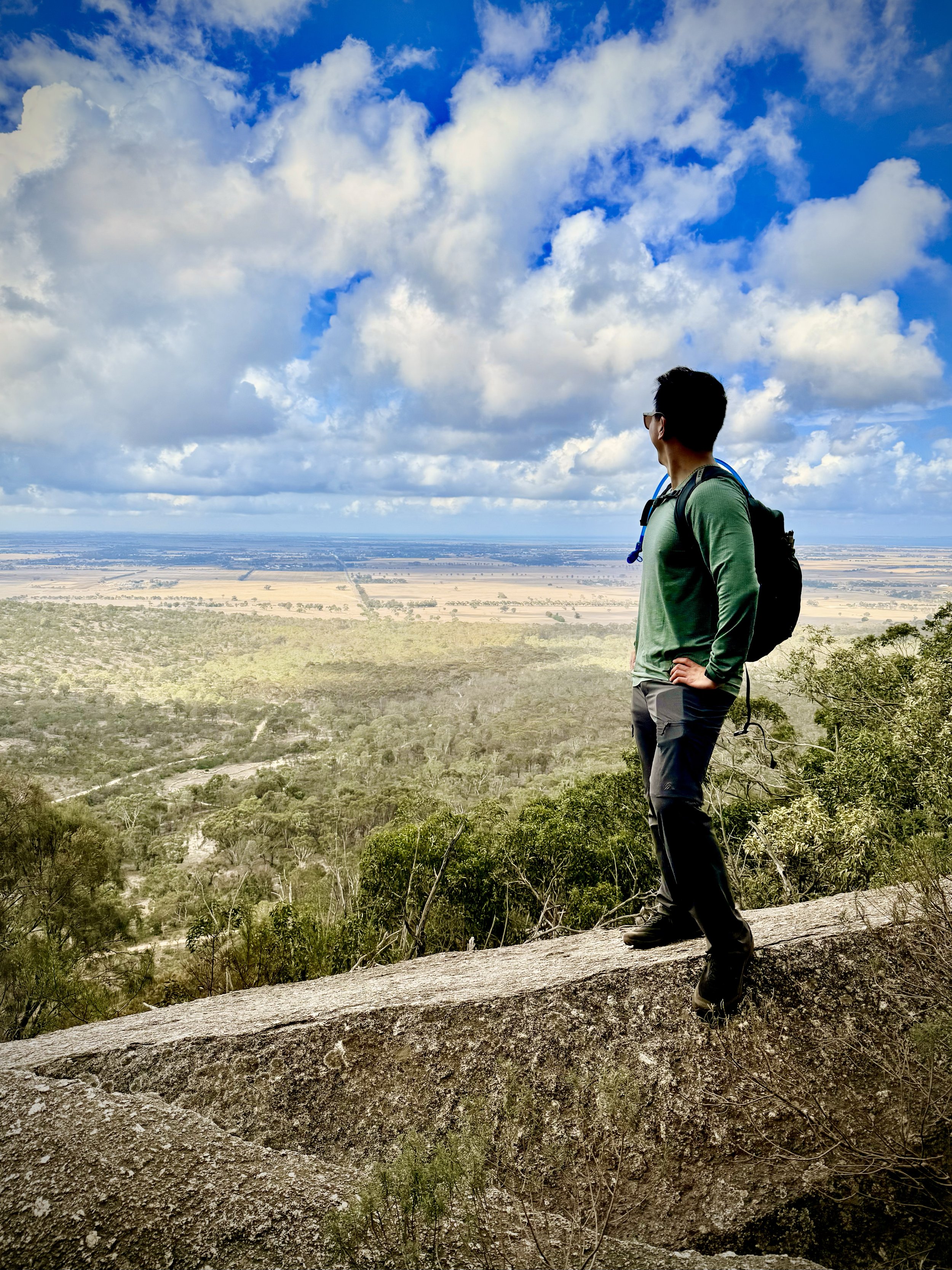
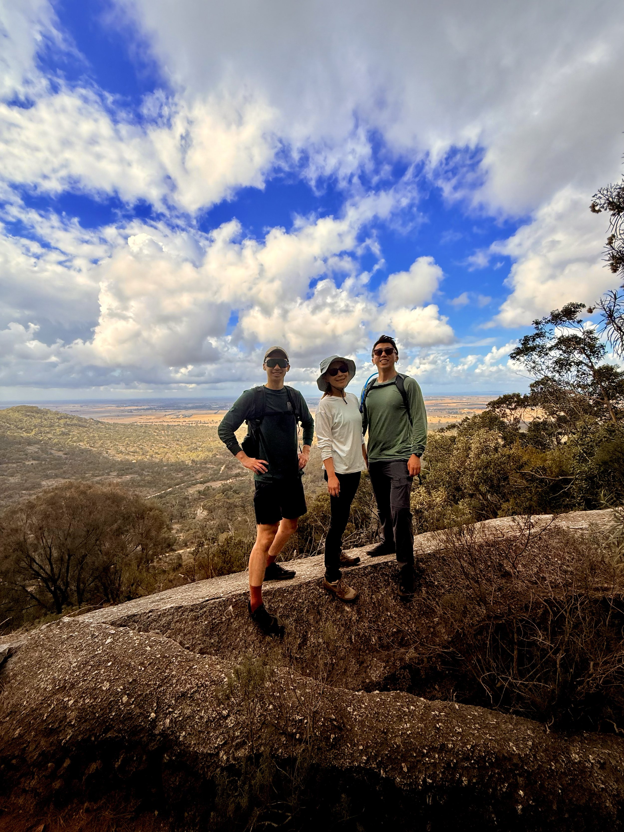
General Views
-
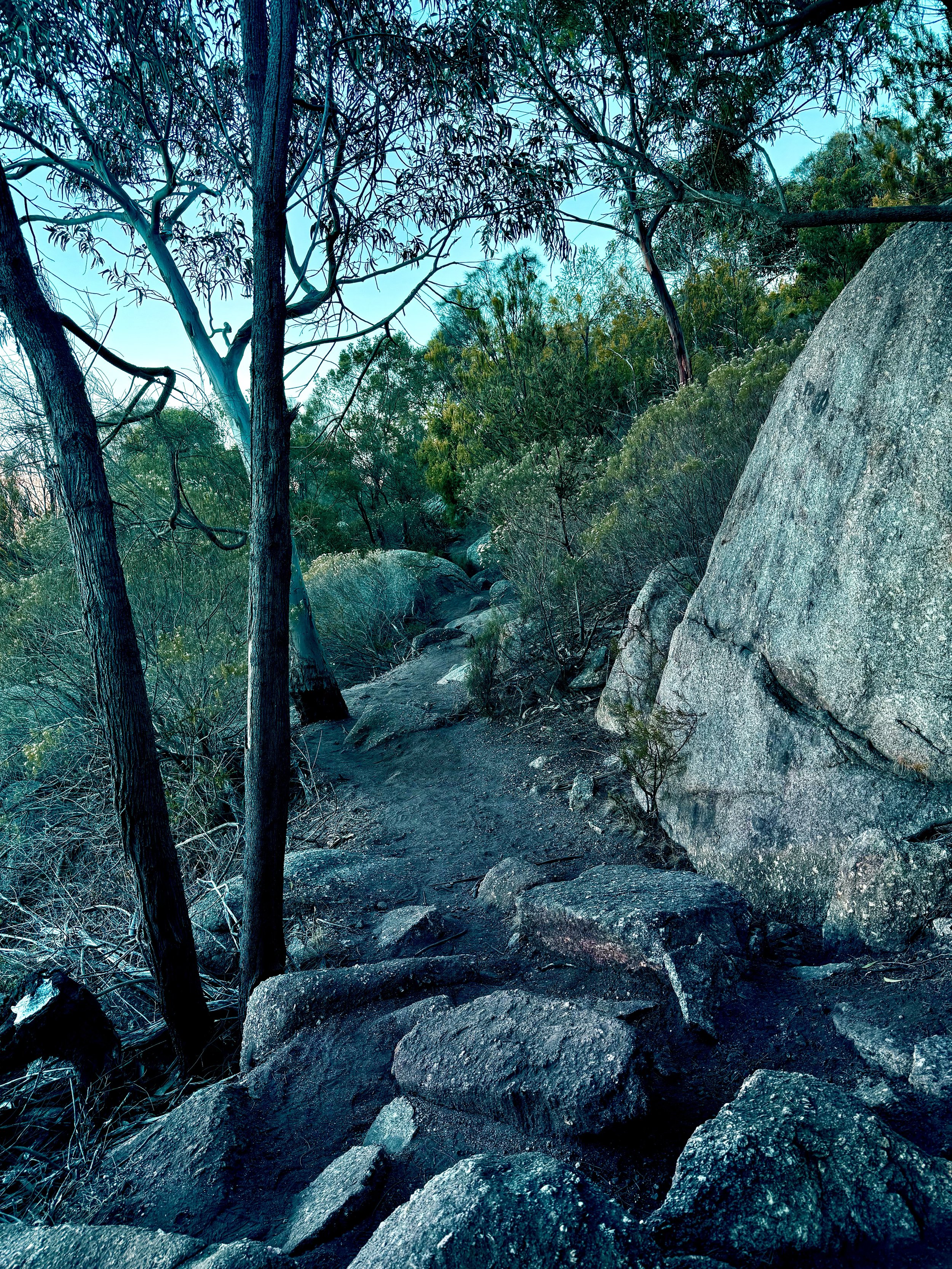
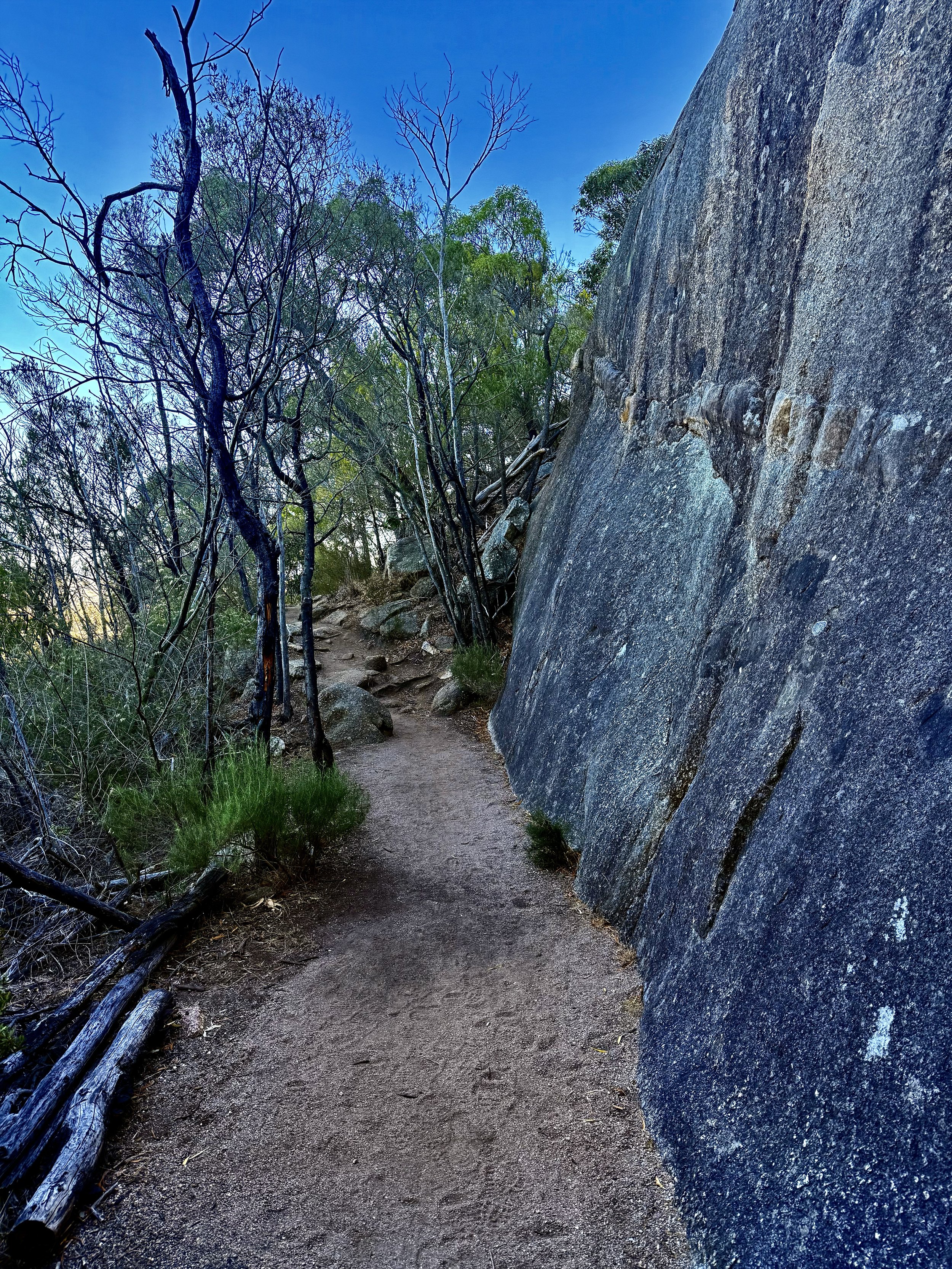
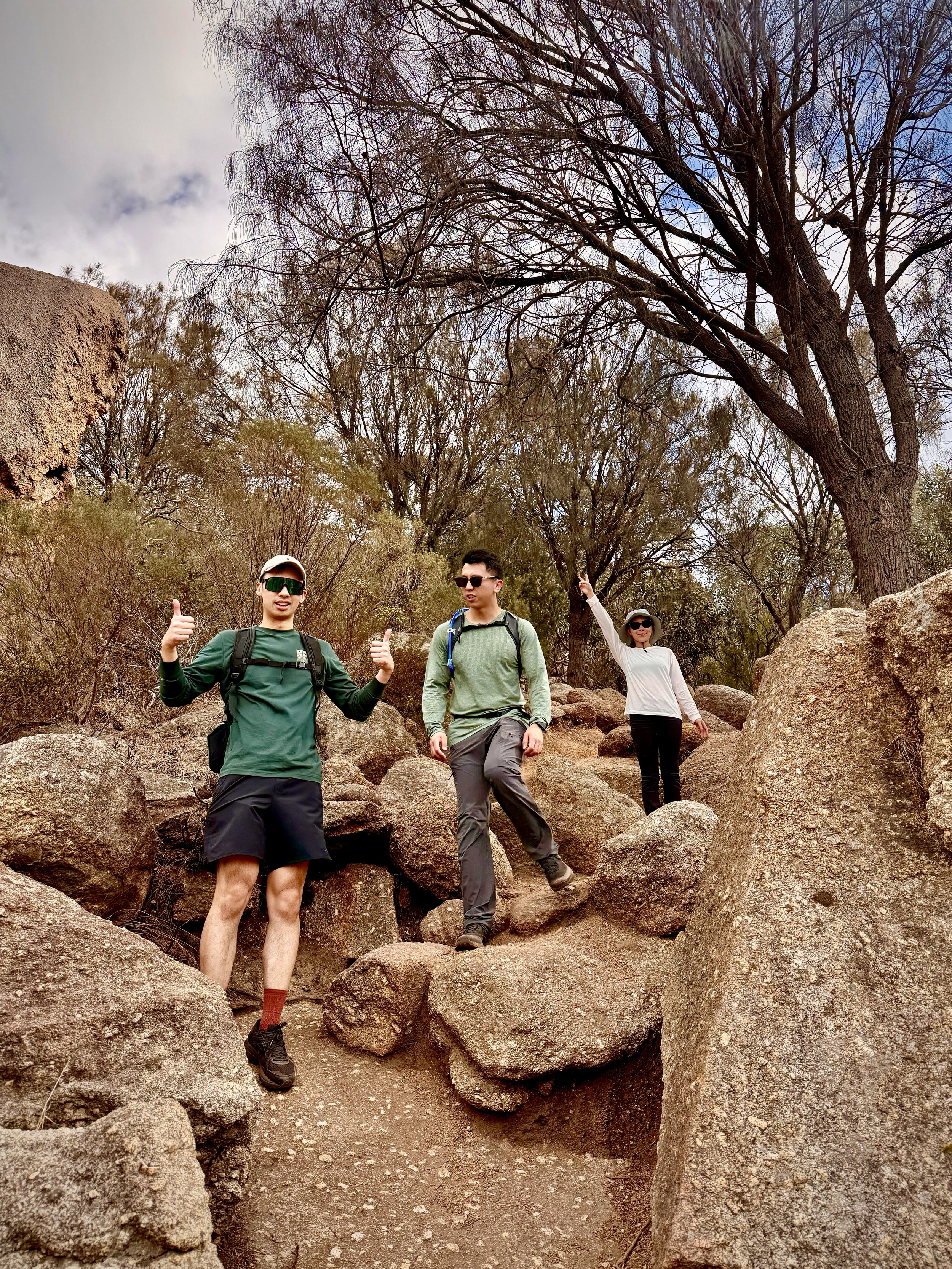
Leaping across uneven rocky surfaces.
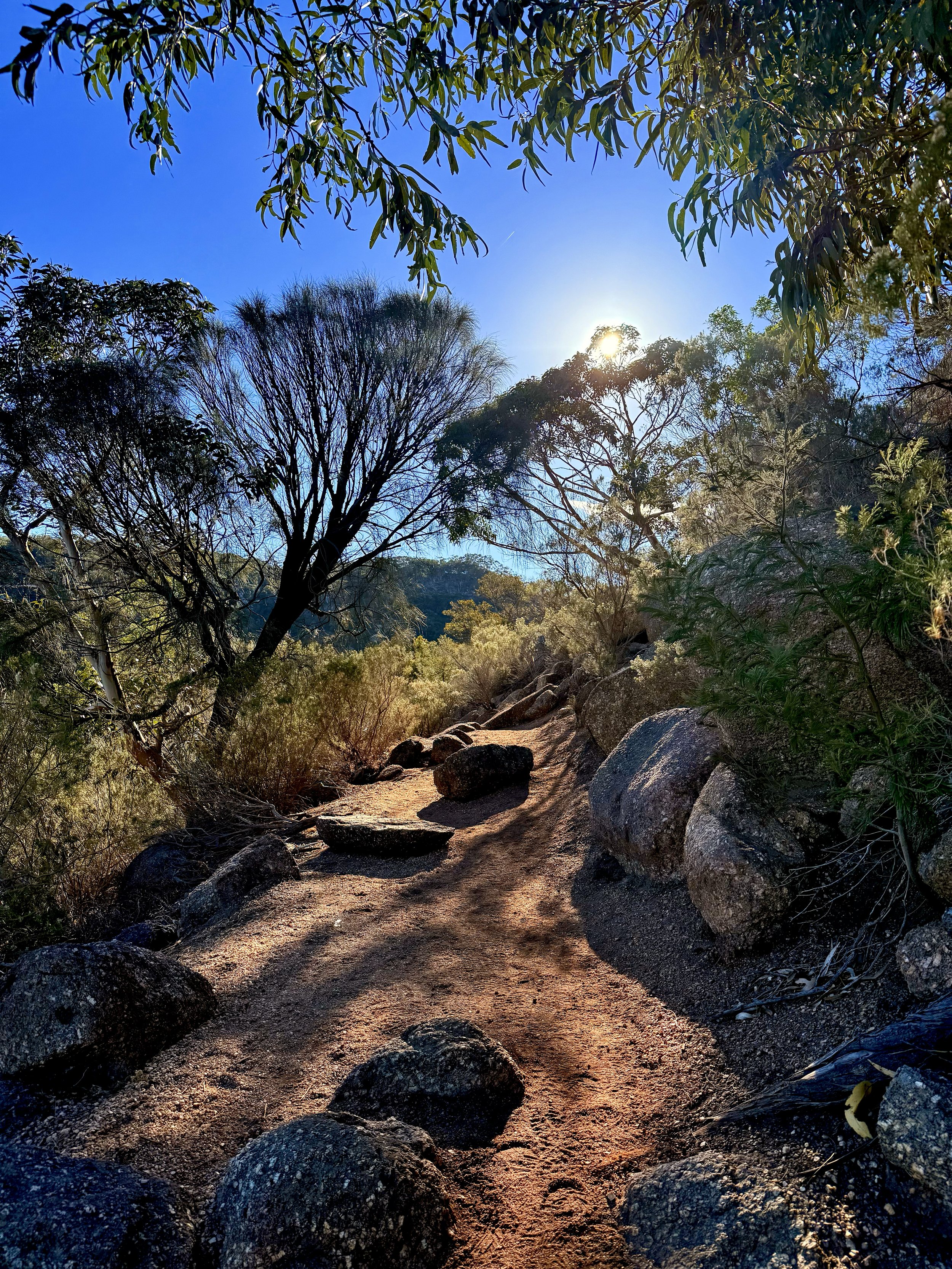
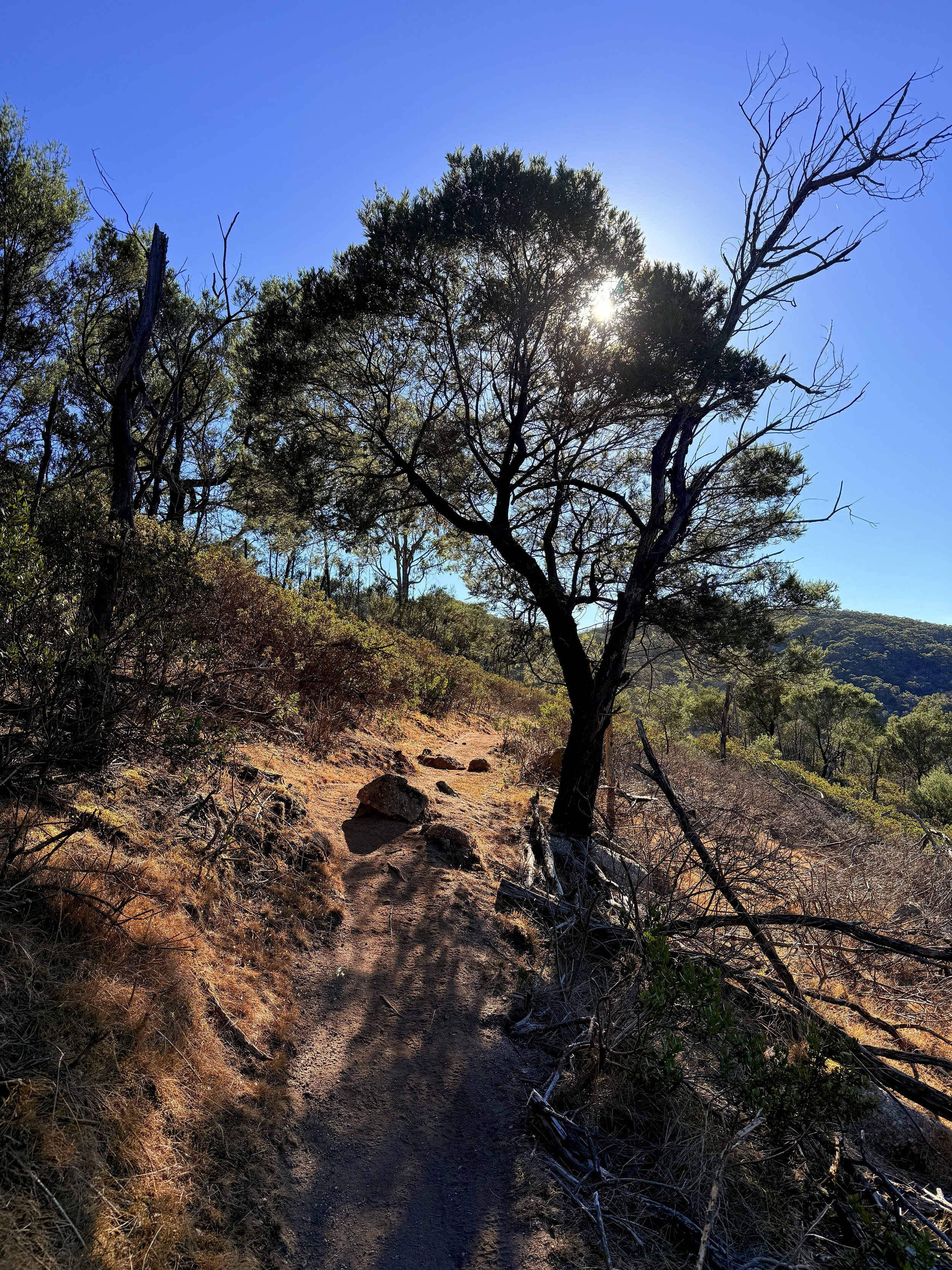
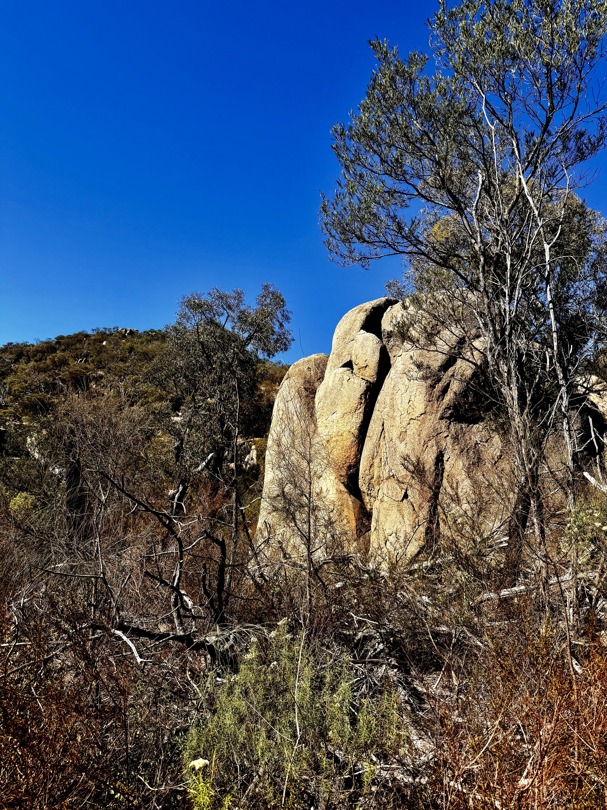
TERRAIN
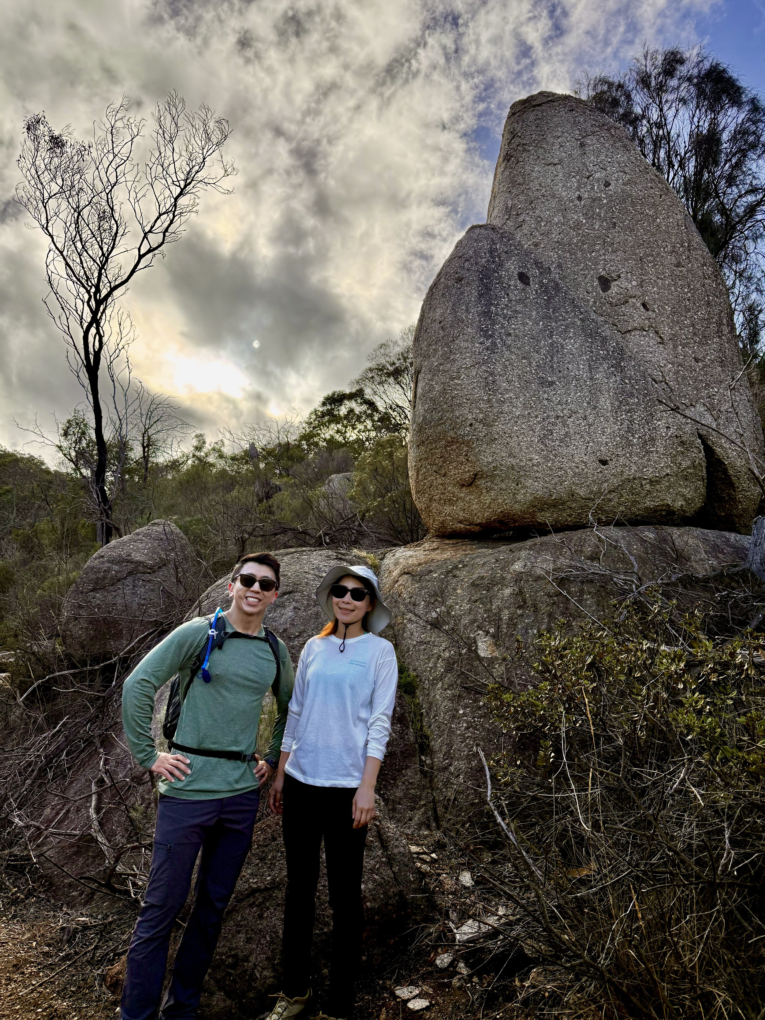
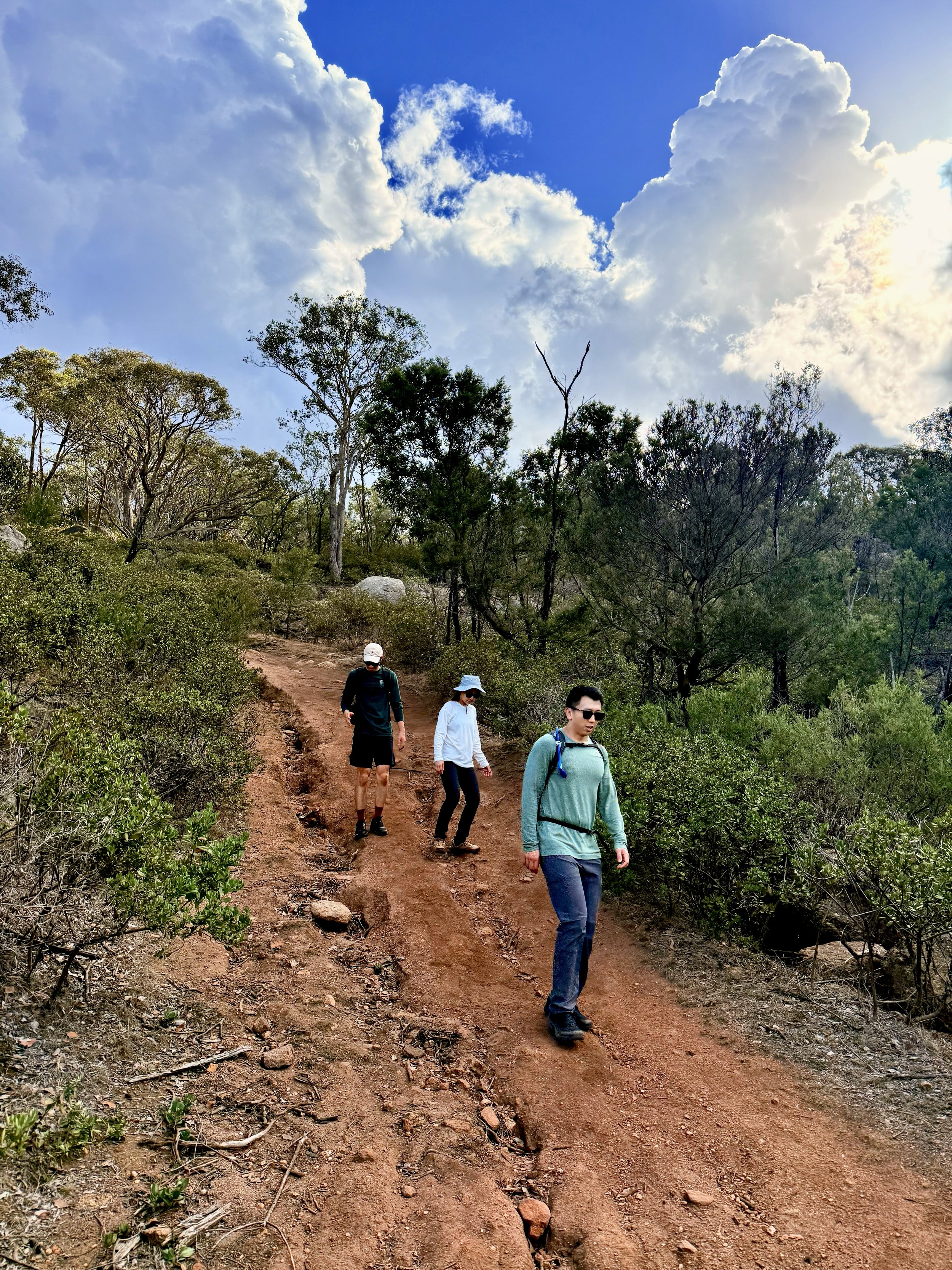
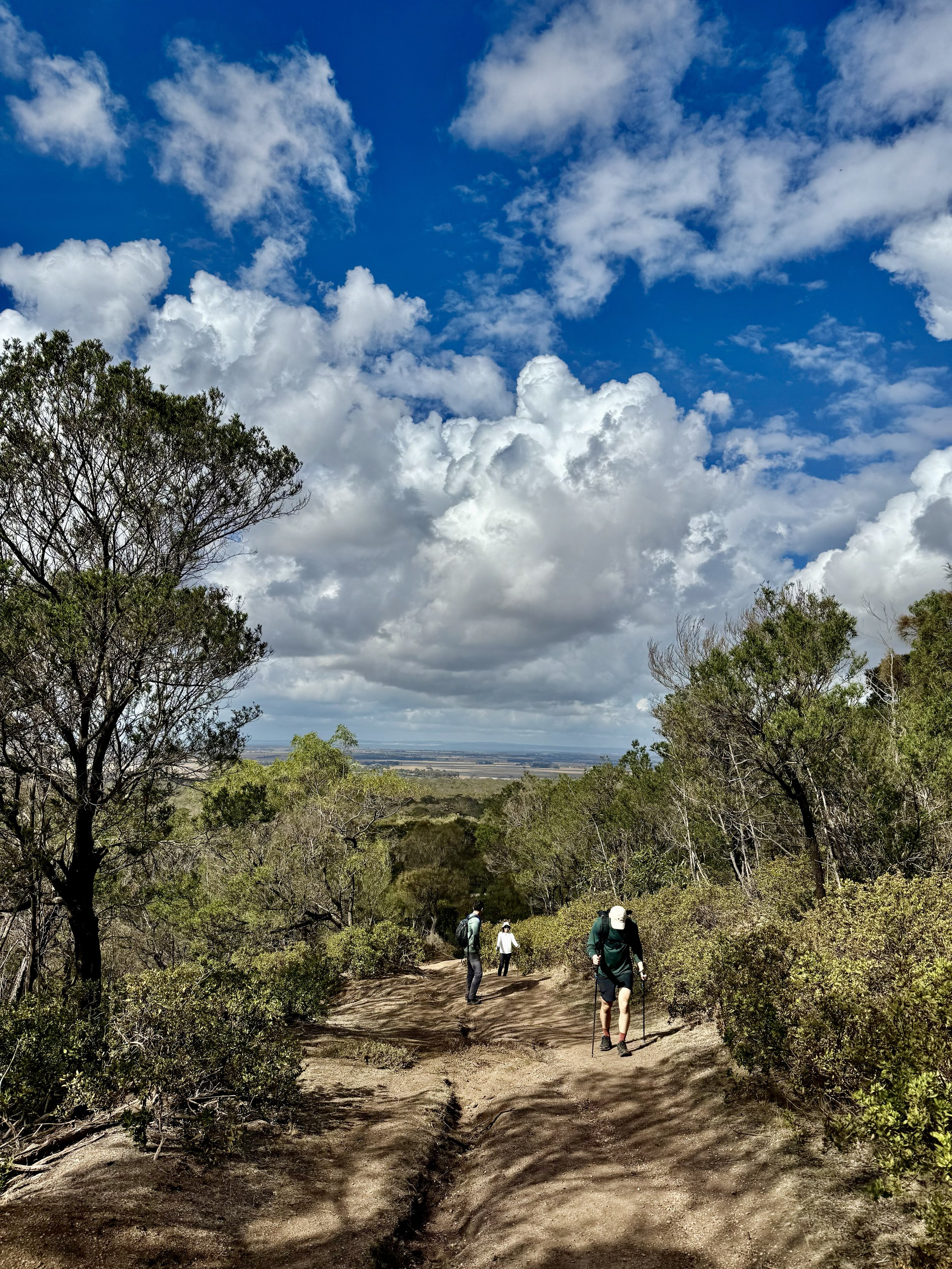
The You Yangs Northern Circuit Loop features rugged granite peaks, gentle slopes, open woodland, rocky outcrops, and scenic ridgelines with panoramic views, offering a moderately challenging yet rewarding hiking experience.
GRADING & FITNESS
Grade 3 reflects the loop’s moderate elevation gain, variable terrain (including granite outcrops and narrow trails), and its overall length, which may range from 10–13 km depending on the exact route taken. It requires a moderate fitness level.
GOURMET PLATTER & MEDIA COVERAGE
A gourmet spread of meats, cheeses, seasonal fruits foccacia and banana bread will be on offer at the end of the hike. Packages includes media coverage of your adventure by the accompanying HACO guides. View our food offer here.
DESTINATION & TRAVEL TIME
The starting point of this hike is on Rockwell Rd, Little River VIC 3211 and is approximately a 56min drive from the Melbourne CBD. You can click the button below to obtain the hiking starting point co-ordinates on google maps.