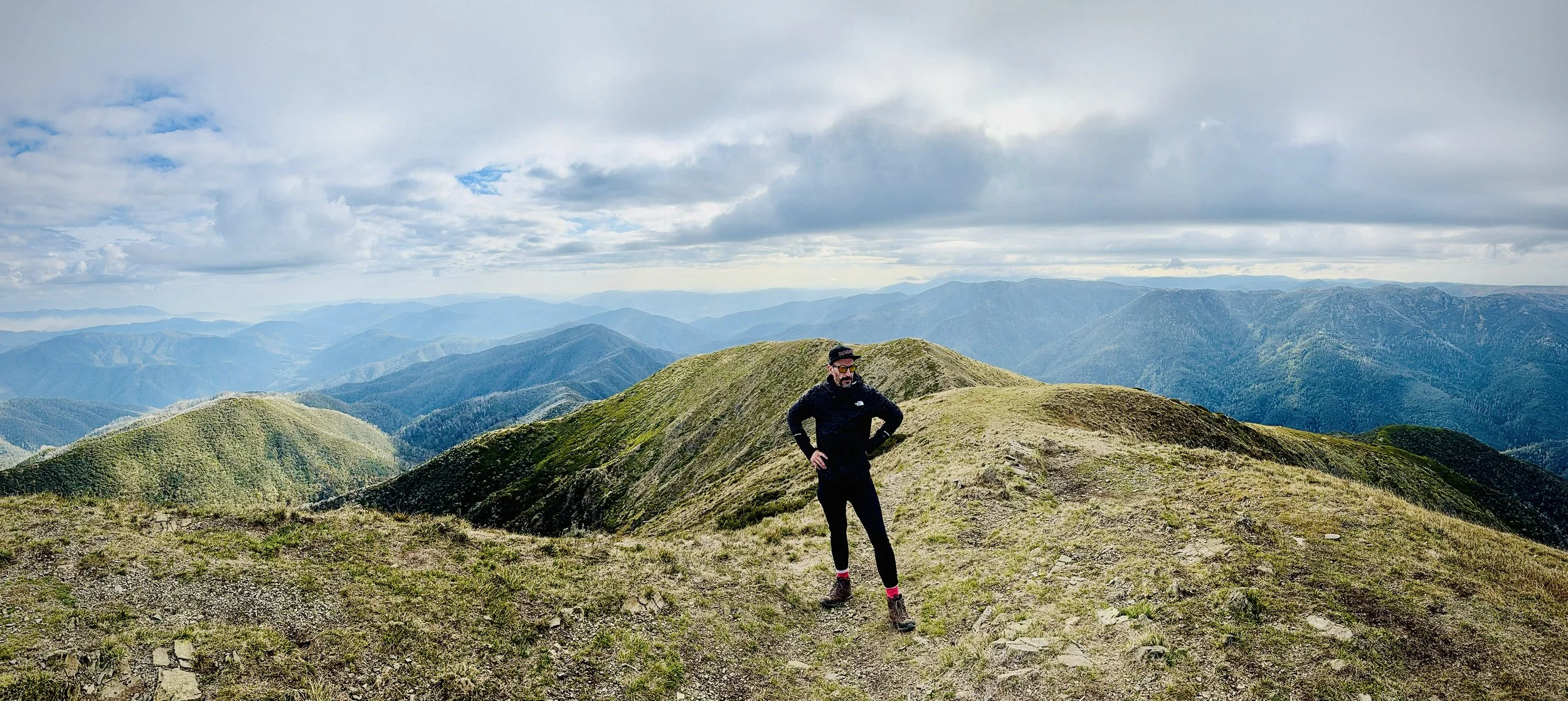
HOTHAM HEIGHTS TO MOUNT FEATHERTOP
-

GRADING
-

FITNESS
Advanced
-

DISTANCE
22.7 km
-

DURATION
2 days
-

ELEVATION
896 metres
-

CALORIES
Approx 3,500 cal


-
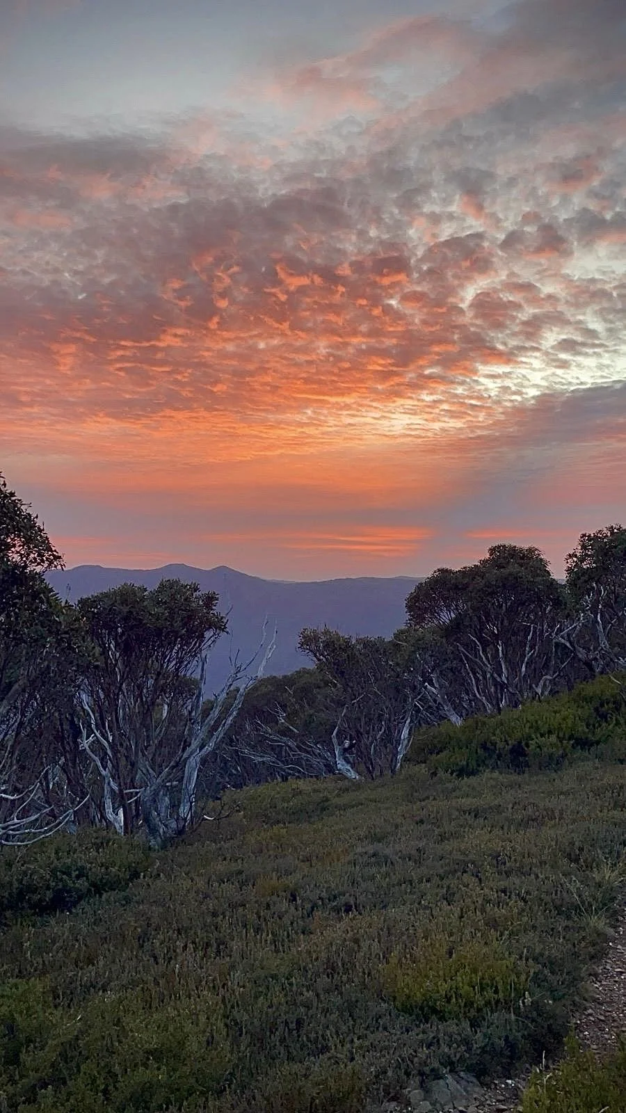
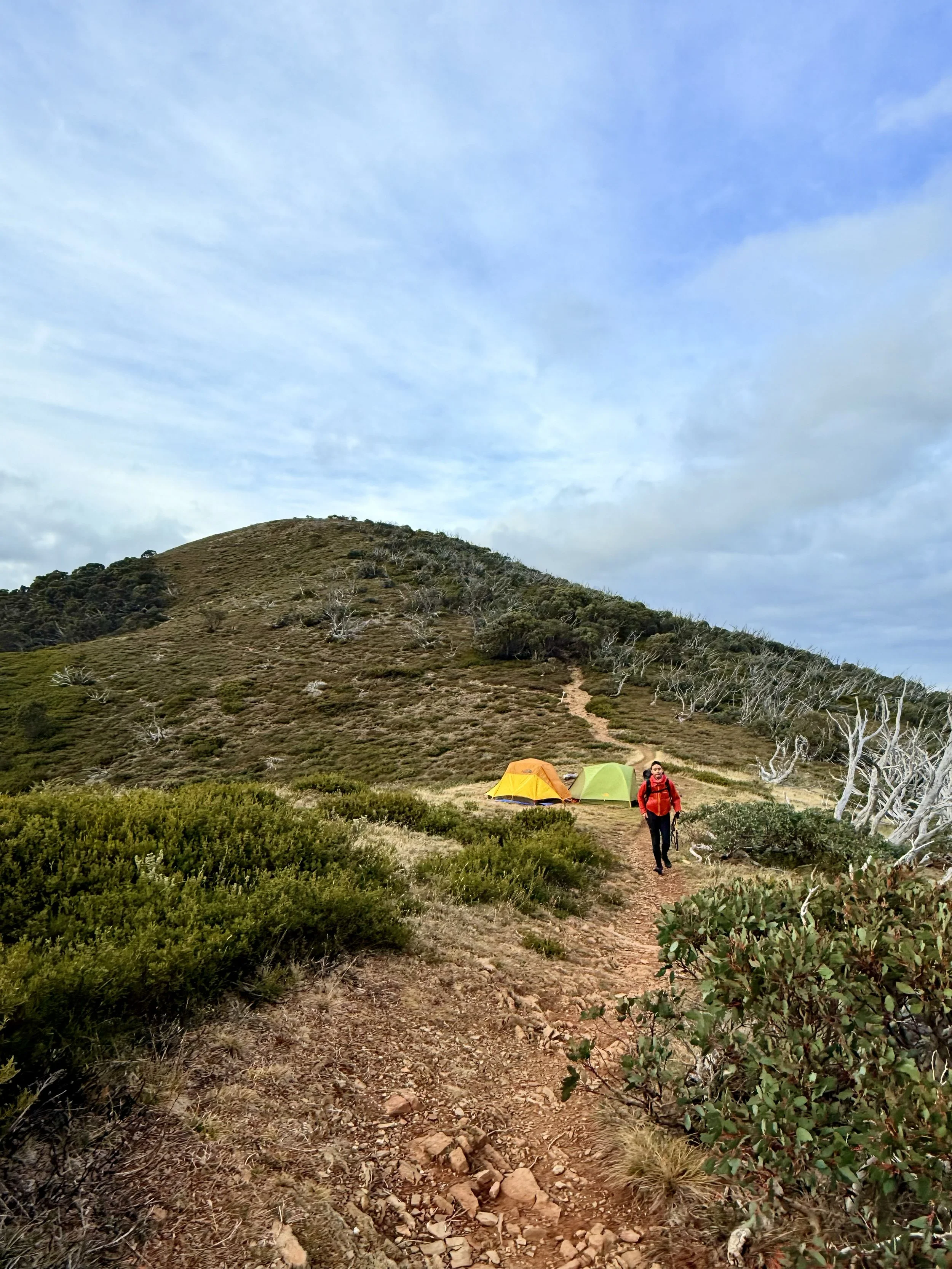
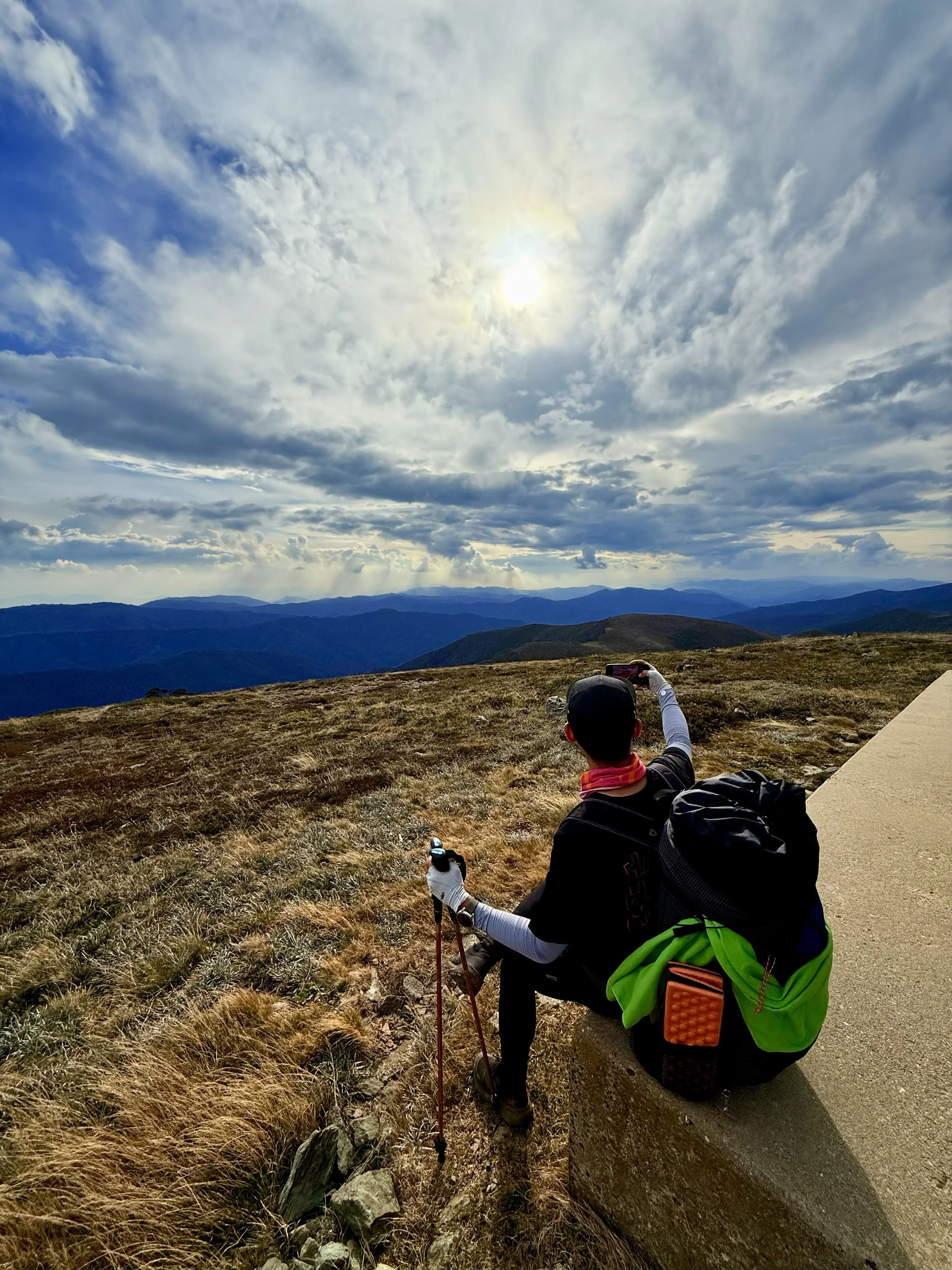
Epic Views of Victoria’s Alpine High Country
-
Mount Feathertop has an elevation of 1,922 metres above sea level.
-
The whole adventure will be captured on iPhone, GoPro and Insta 360 devices to be shared with the hikers.
TERRAIN
The hike from Mount Hotham to Mount Feathertop follows the Razorback, a spectacular alpine ridge. The terrain is narrow and exposed, with steep climbs and rocky paths. It demands stamina, balance, and care, but rewards hikers with sweeping panoramic views, diverse alpine landscapes, and the unforgettable experience of Victoria’s high country.
GRADING & FITNESS
This hike is graded Hard / Grade 4: long distance, exposed alpine ridge, steep ascents, and uneven terrain. It requires strong endurance, leg strength, and overall fitness to manage challenging climbs and extended time on foot.
ITEMS REQUIRED
All HACO night hikers are supplied with a lightweight overnight kit, which includes:
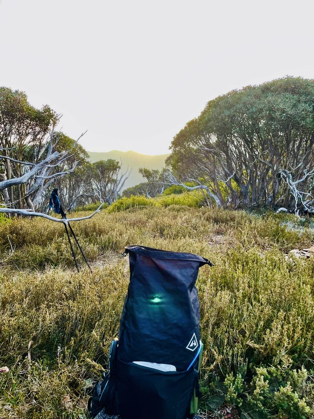
50L backpack
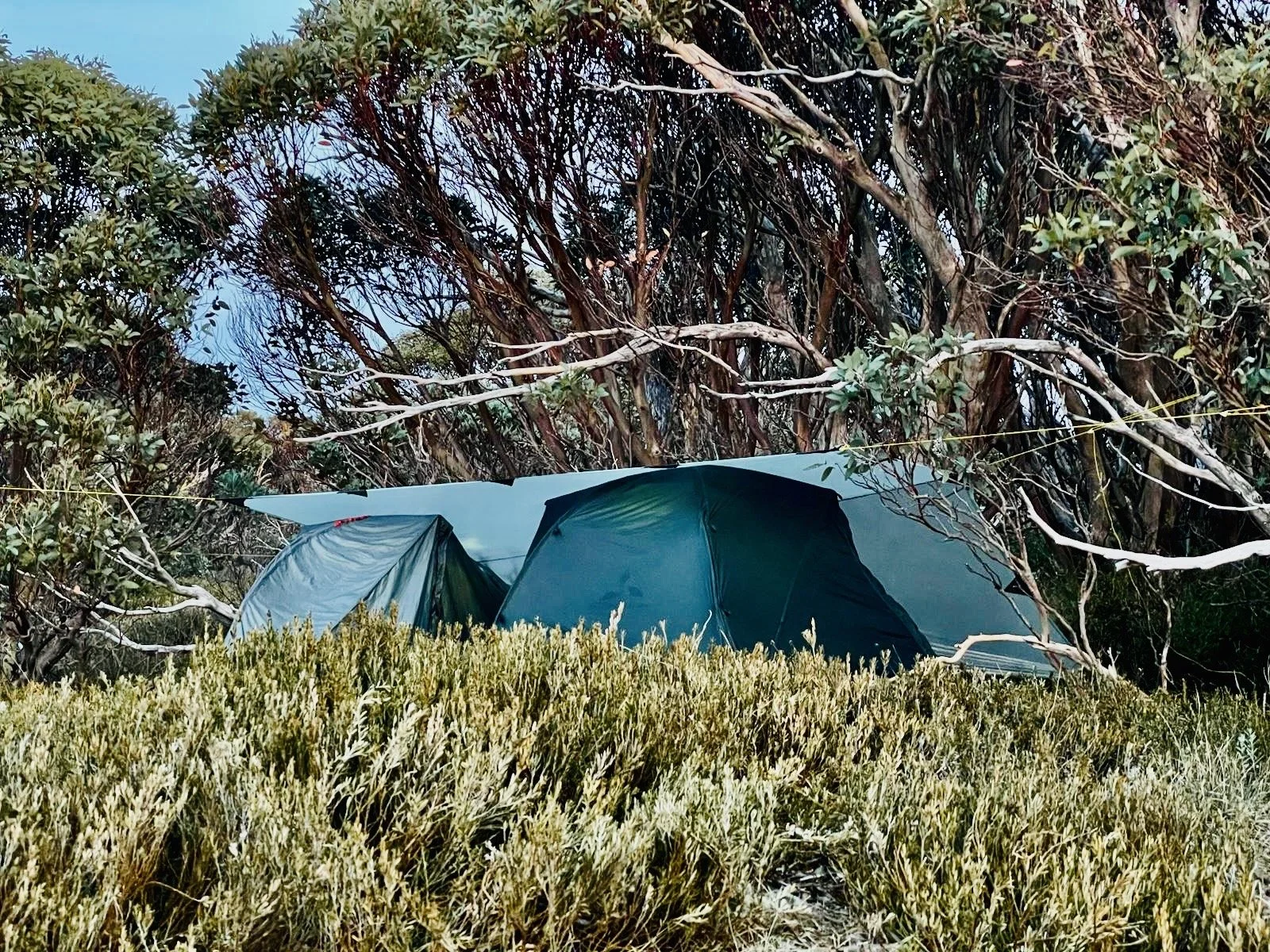
Single-person tent with protective base
Sleeping doona rated to 0°C, bed mattress, and pillow
Water bladder and filtered water bottle
Hiking poles
Trowl and foam seat pad
Mini cooking stove with utensils
In addition, hikers will receive three dry bags — one each for their chosen clothing, food, and electronics. HACO will also provide a recommended packing list, covering suitable clothing for the specific hike and climate, along with suggested food options for the two days and details on where to purchase them.
Together, these three dry bags complete your kit for the hike.
DESTINATION & TRAVEL TIME
All hikers will be transported to the starting point at Diamantina Hut, Hotham Heights, located just west of Mount Hotham Summit. It’s approximately a 4 hour 30 minute drive from Melbourne’s CBD.
The journey takes us through the beautiful town of Bright, where we’ll stop to enjoy a bakery feast before continuing on.
You can click the button below to access the exact starting point coordinates on Google Maps.