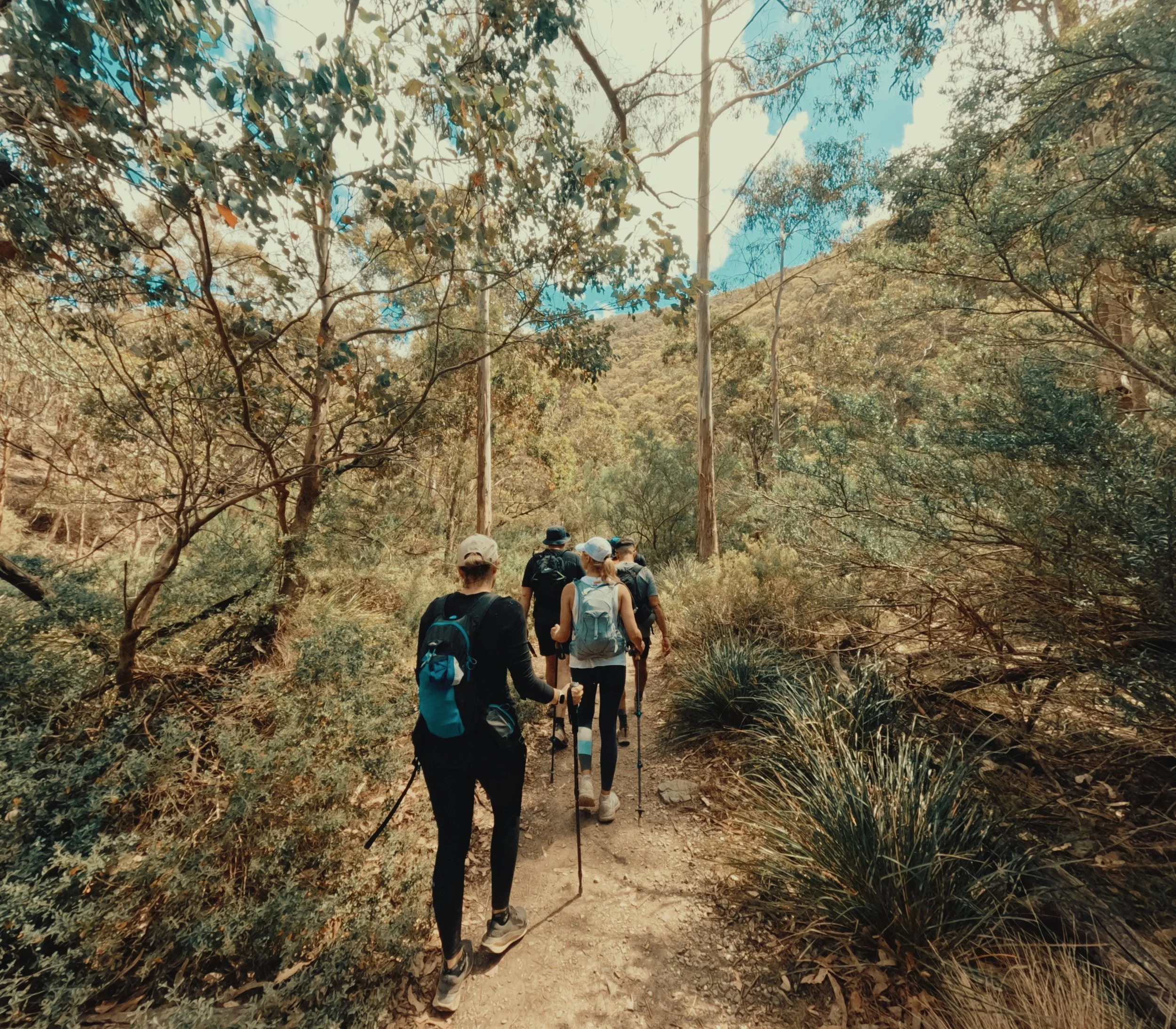
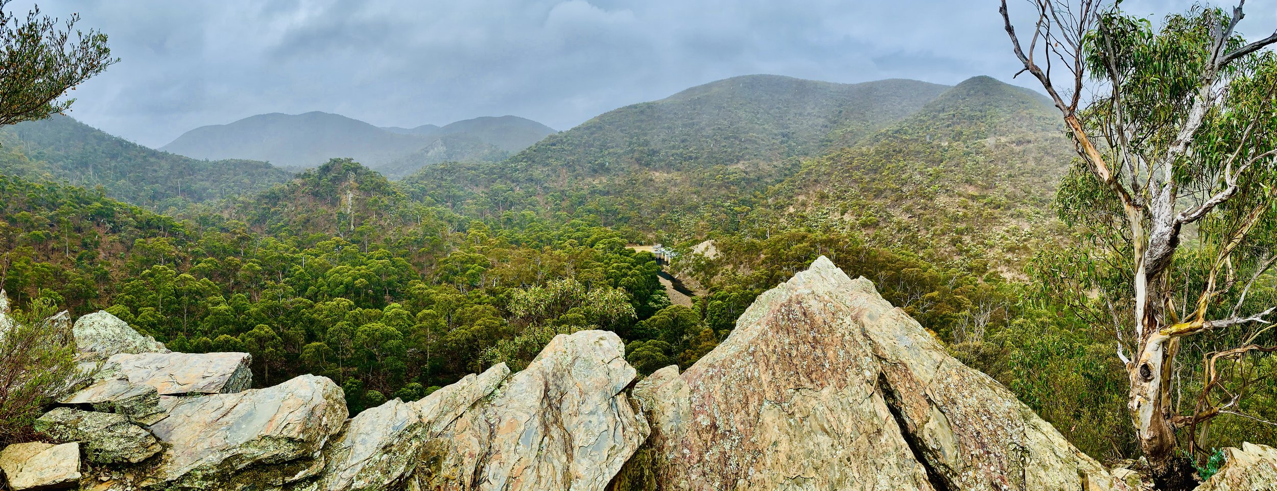
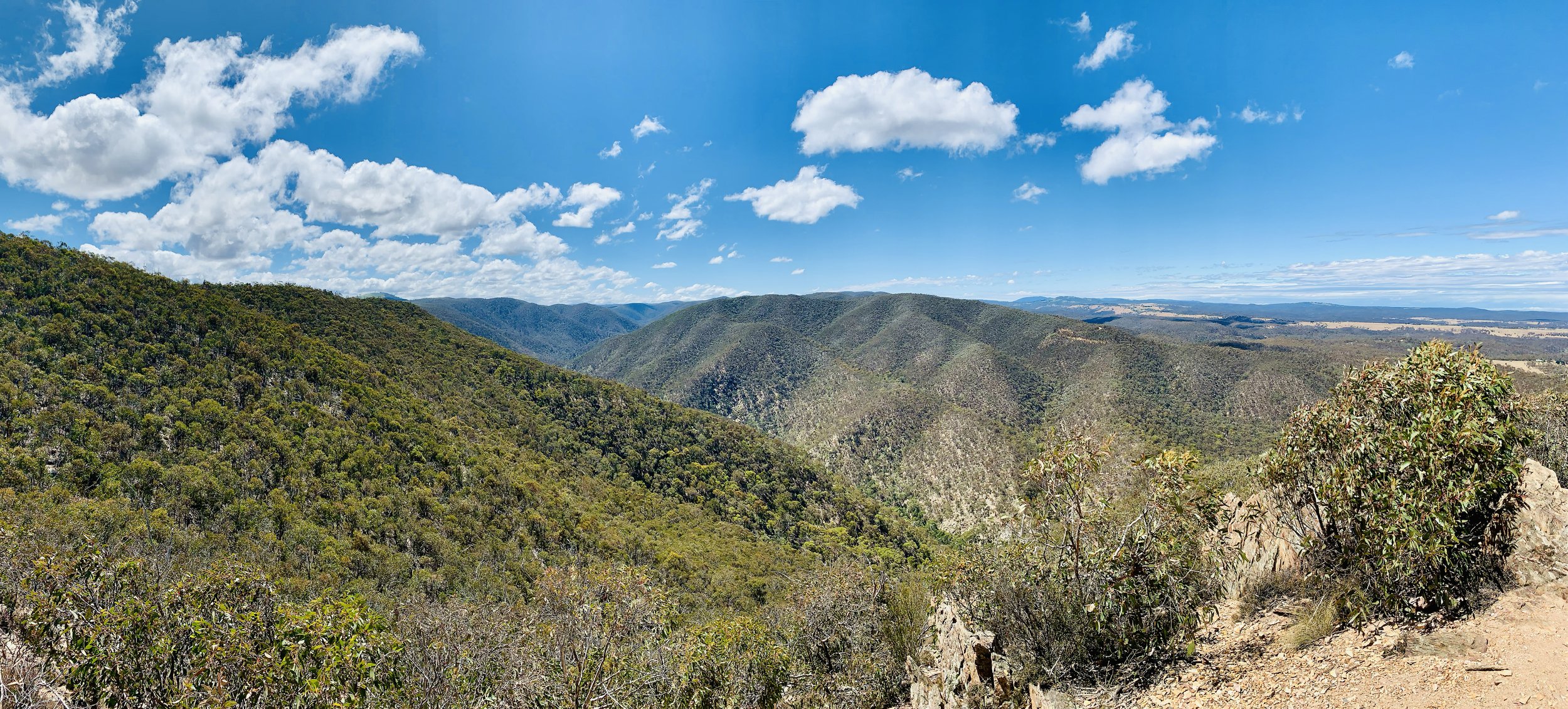
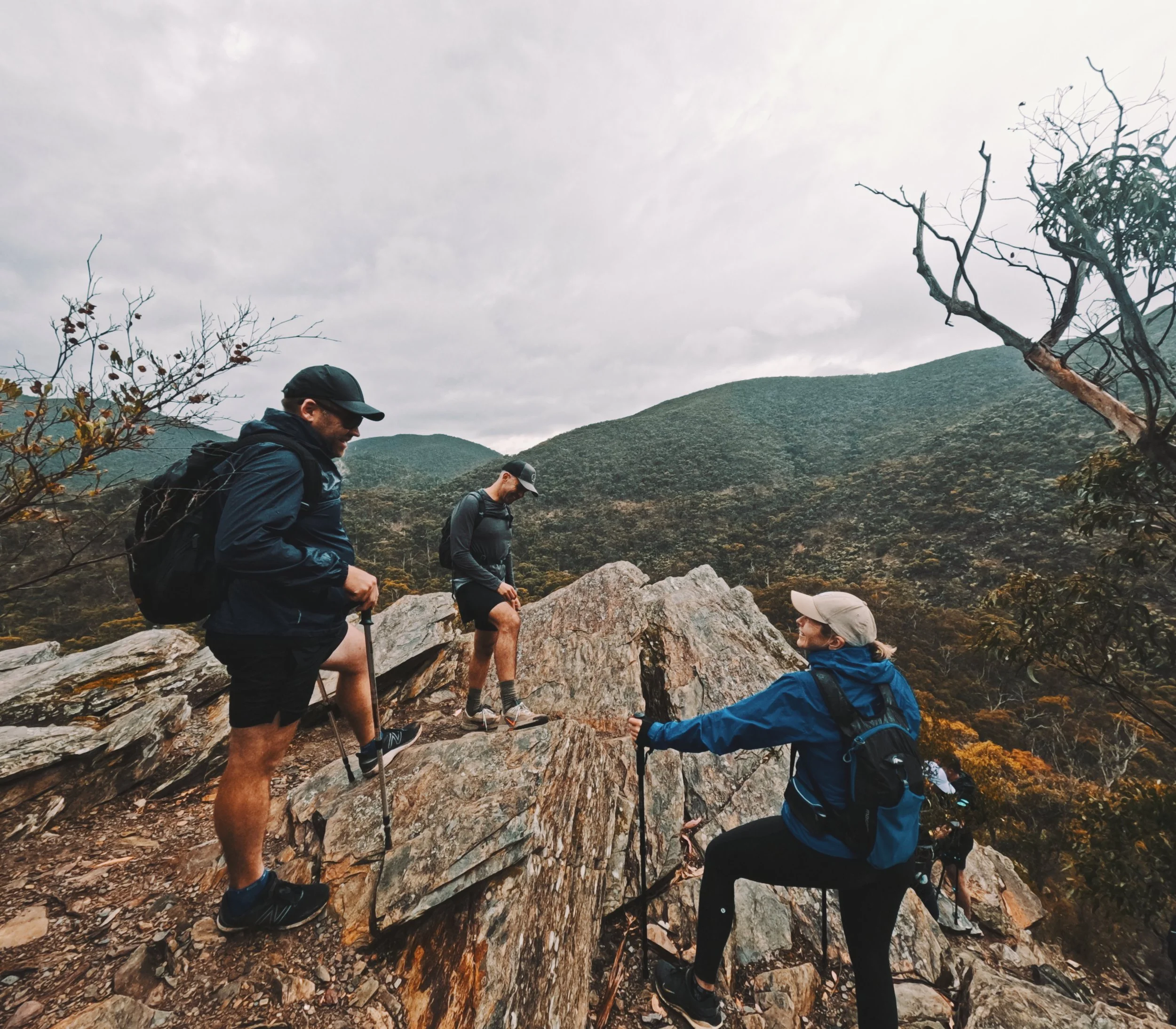
LERDERDERG GORGE FROM MACKENZIES FLAT
-

GRADING
-

FITNESS
Advanced
-

DISTANCE
17.34 km
-

DURATION
Approx 5.5 hours
-

ELEVATION
915 metres
-

CALORIES
Approx 2,000 cal

-
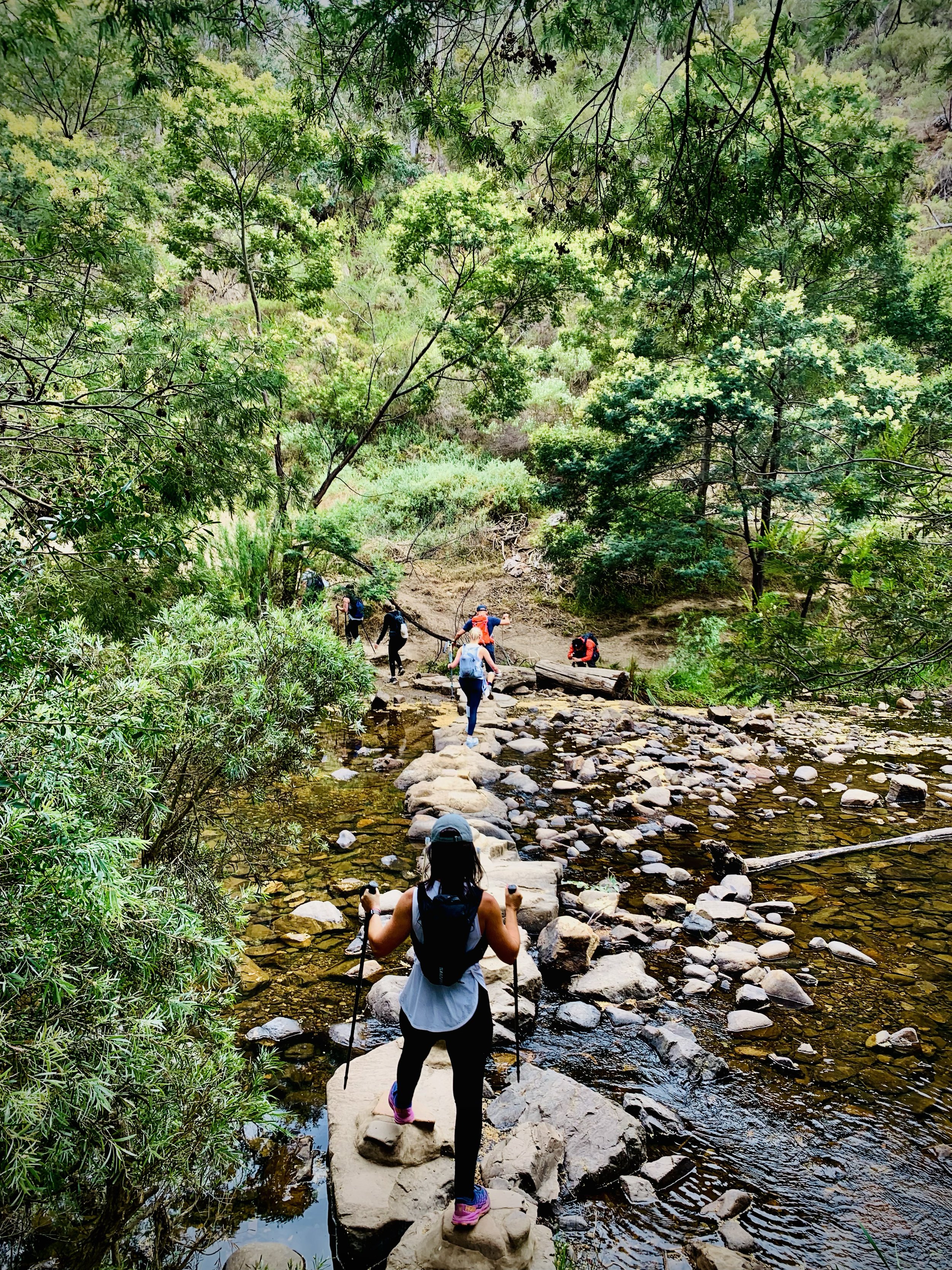
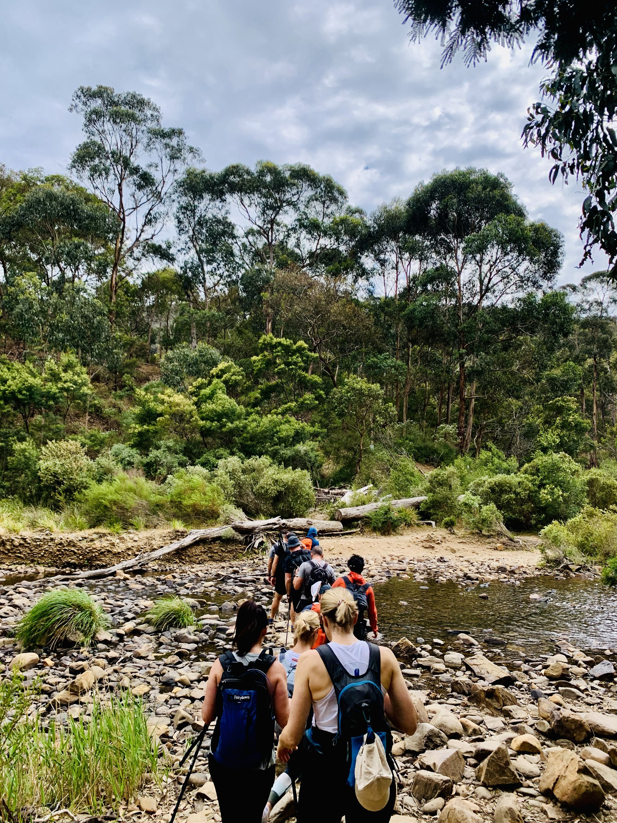
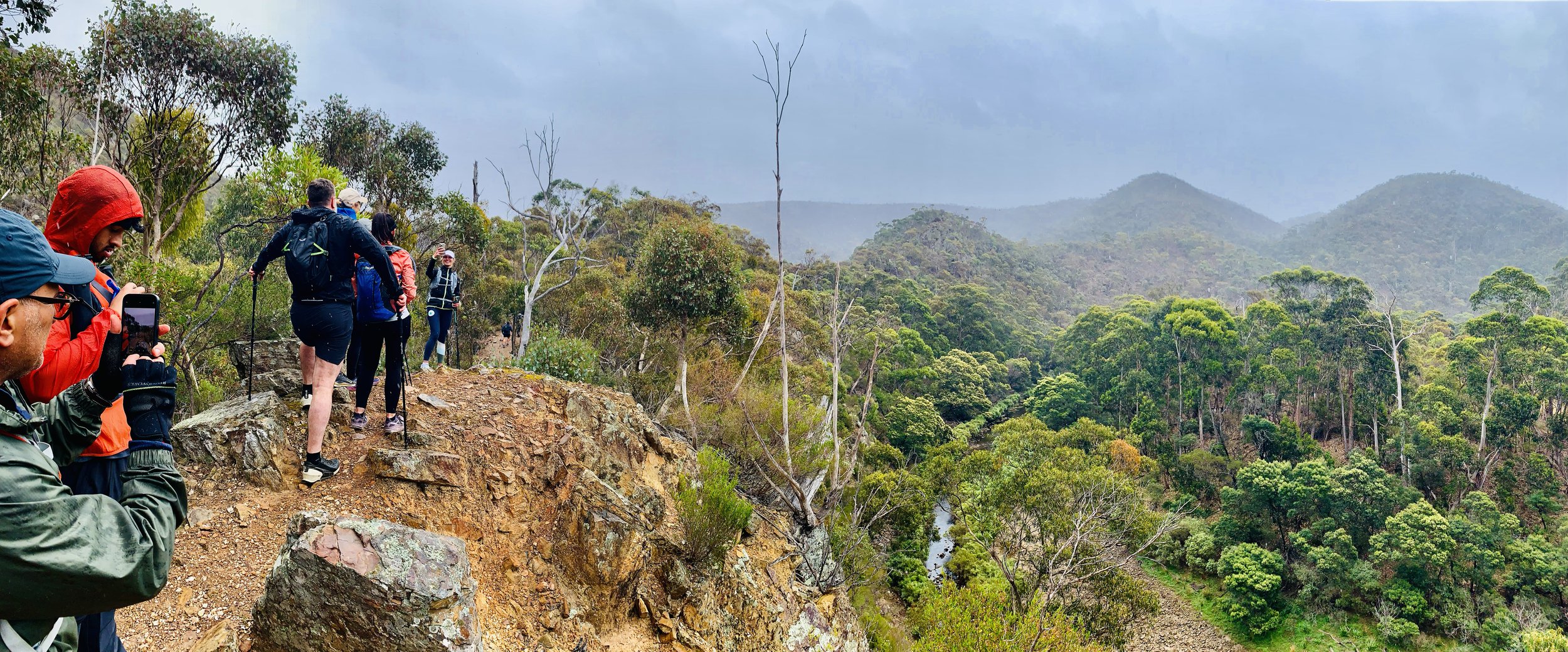
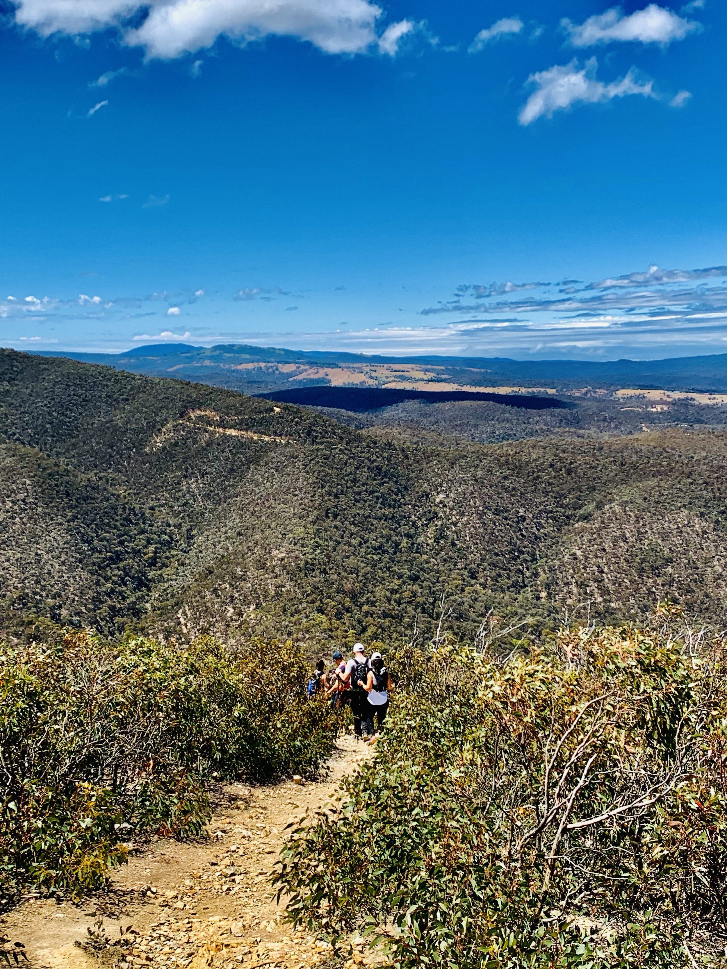
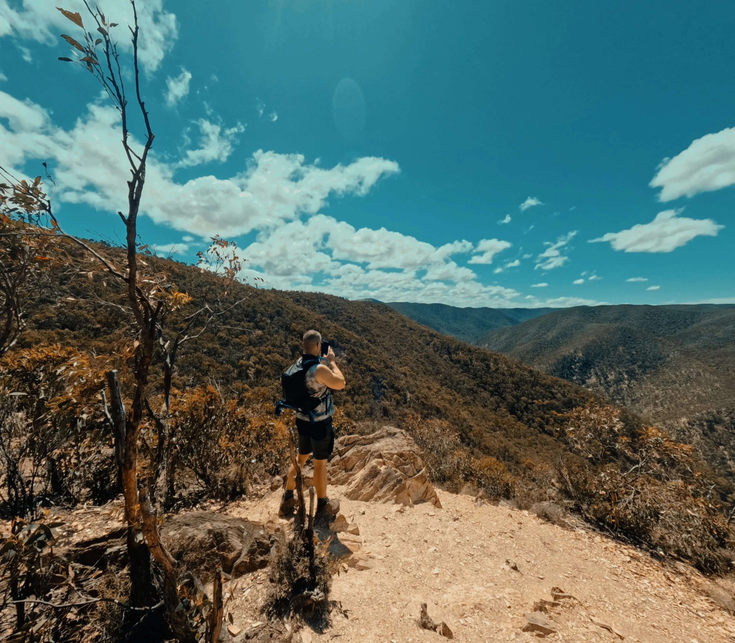
Panoramic views and River Crossings
-
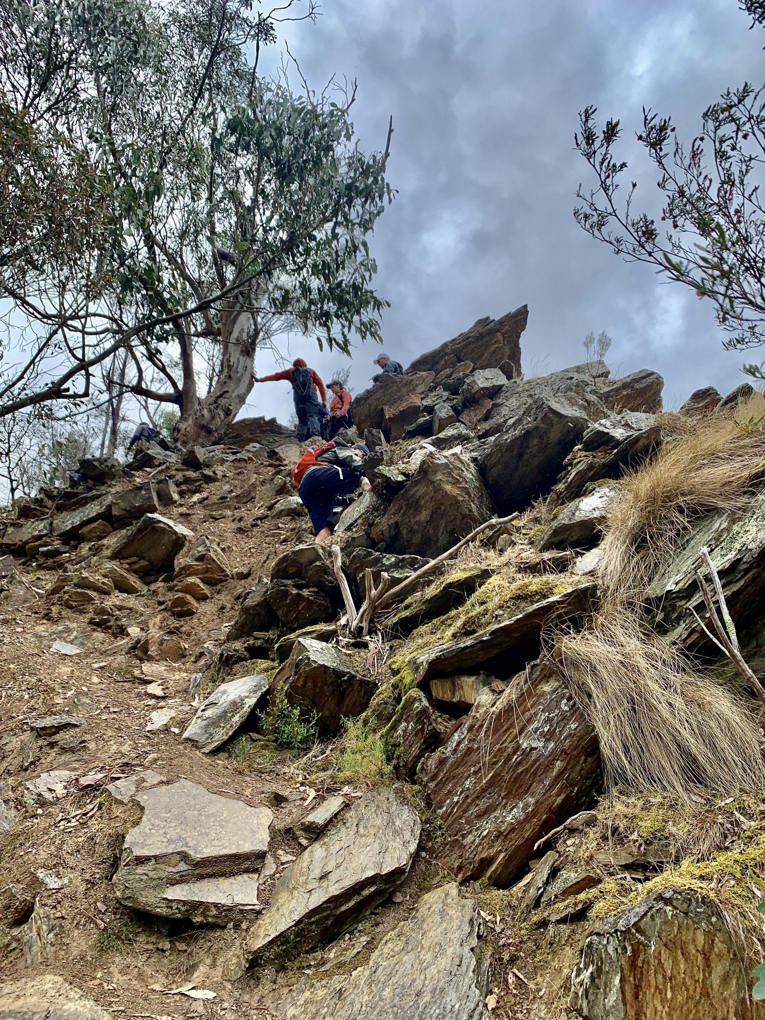
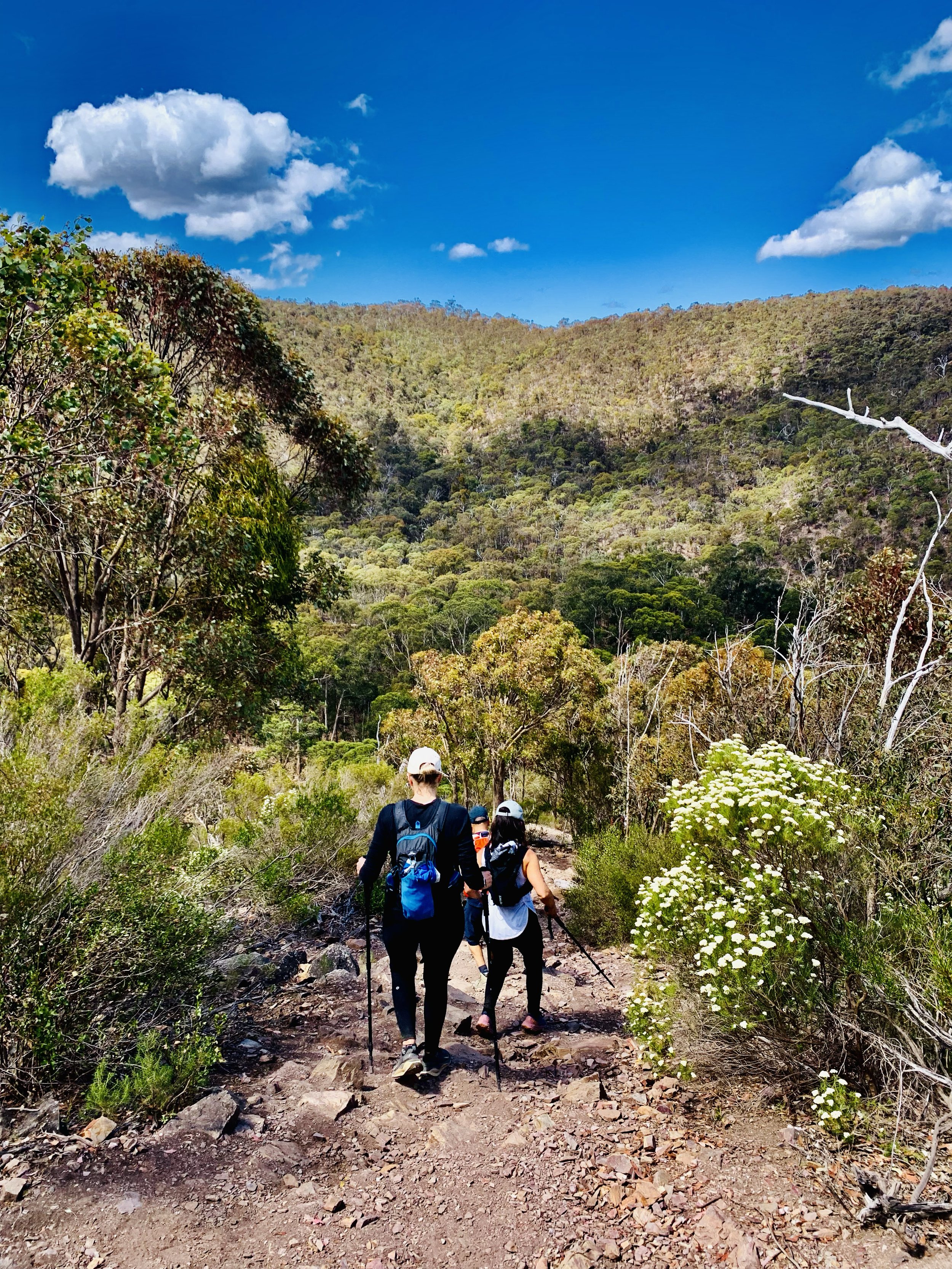
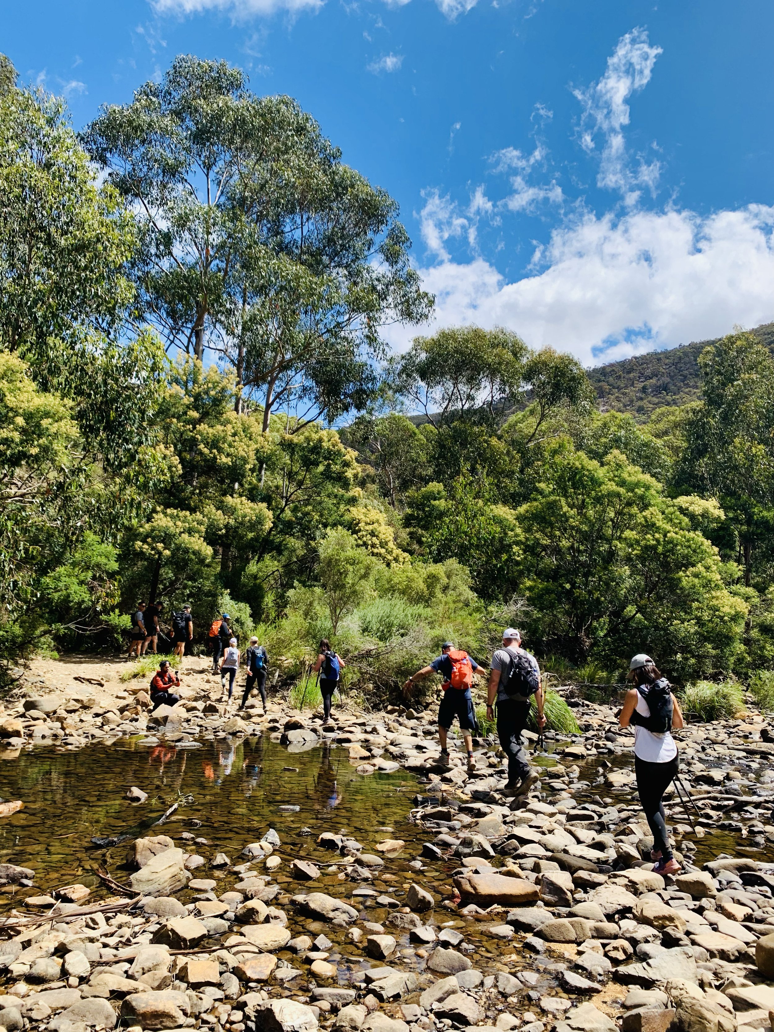
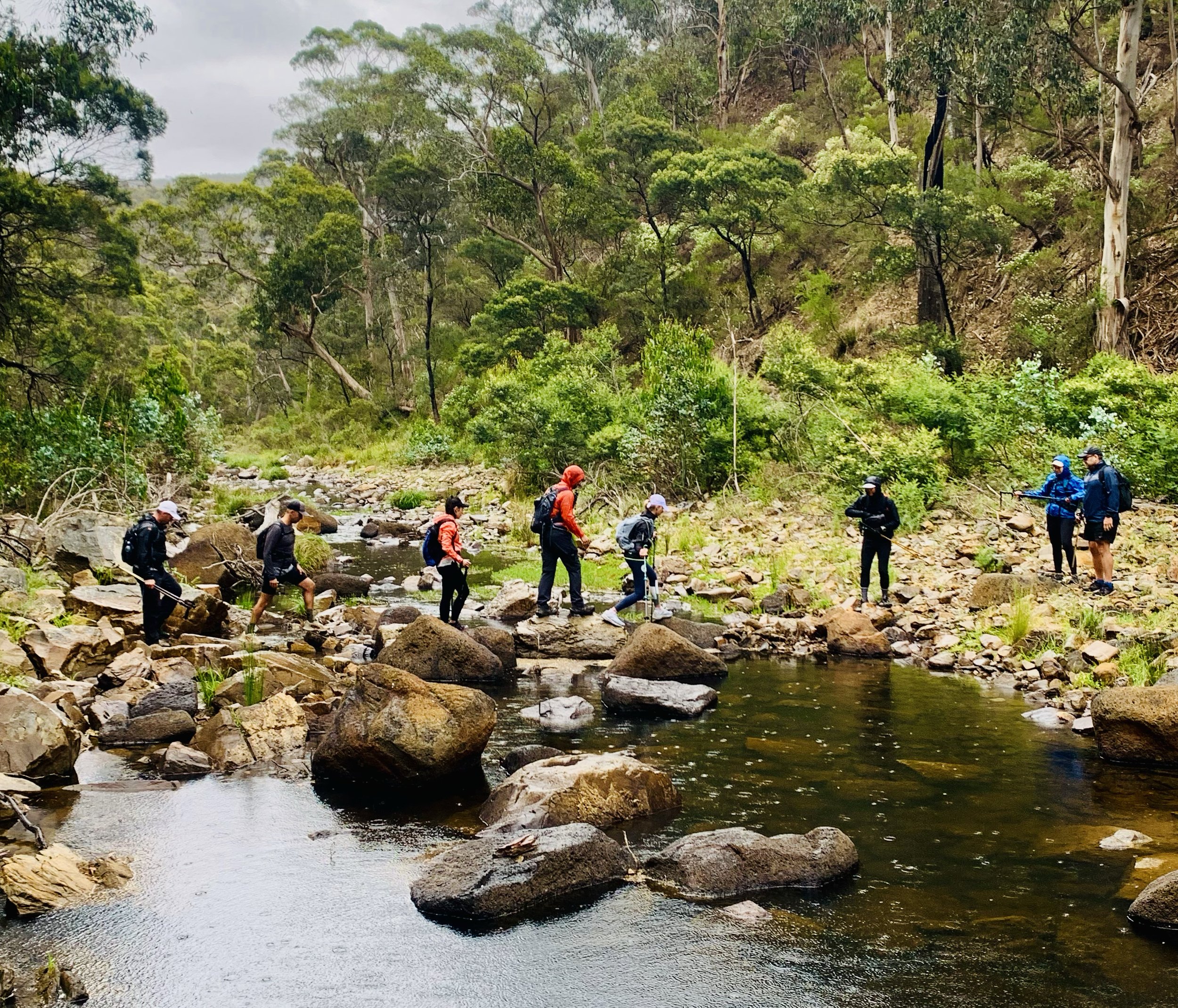
Leaping across uneven rocky surfaces.
-
Climbing steep terrain using hands.
-
May be wet, rocky, slippery and uneven, depending on weather.
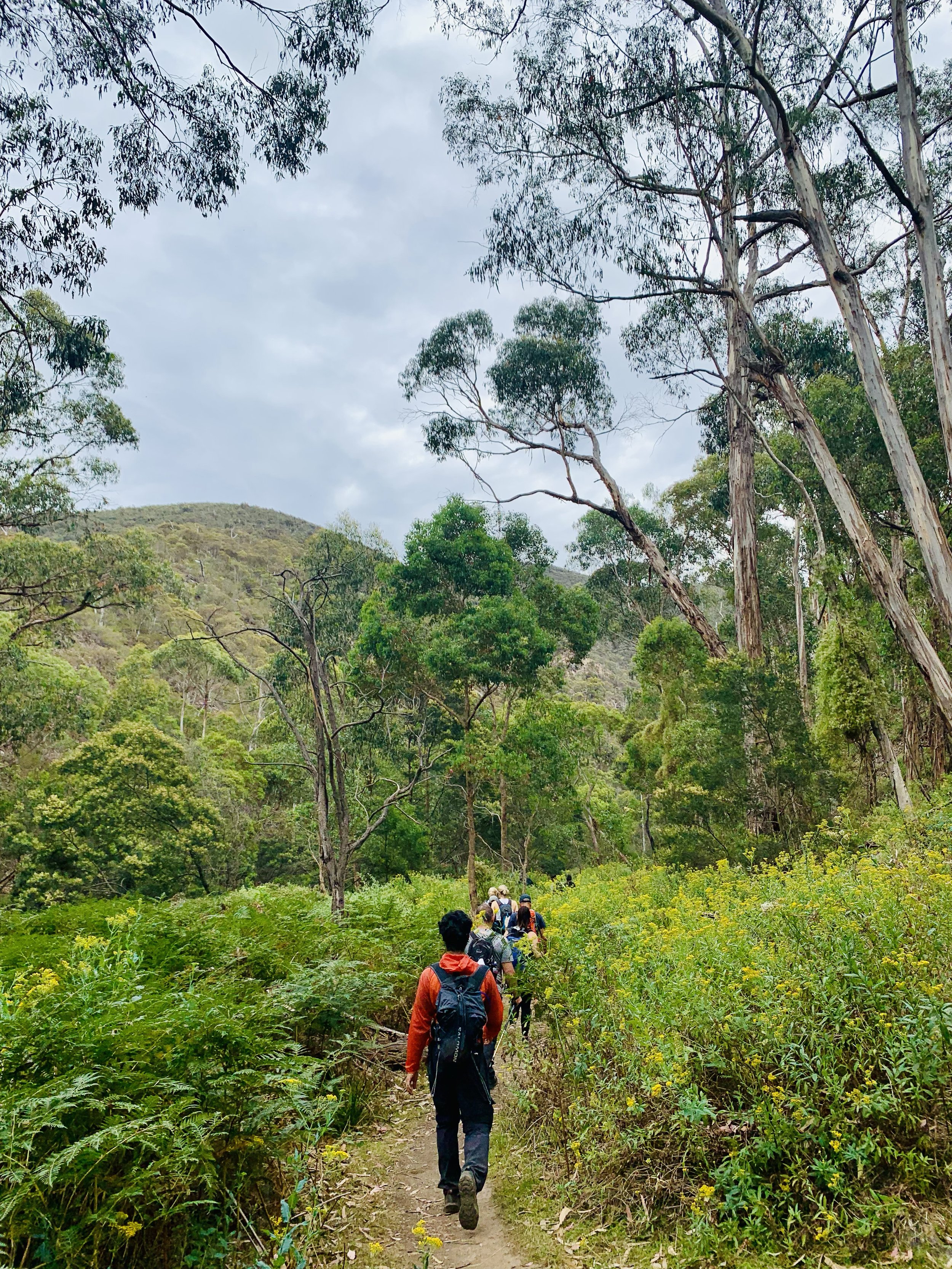
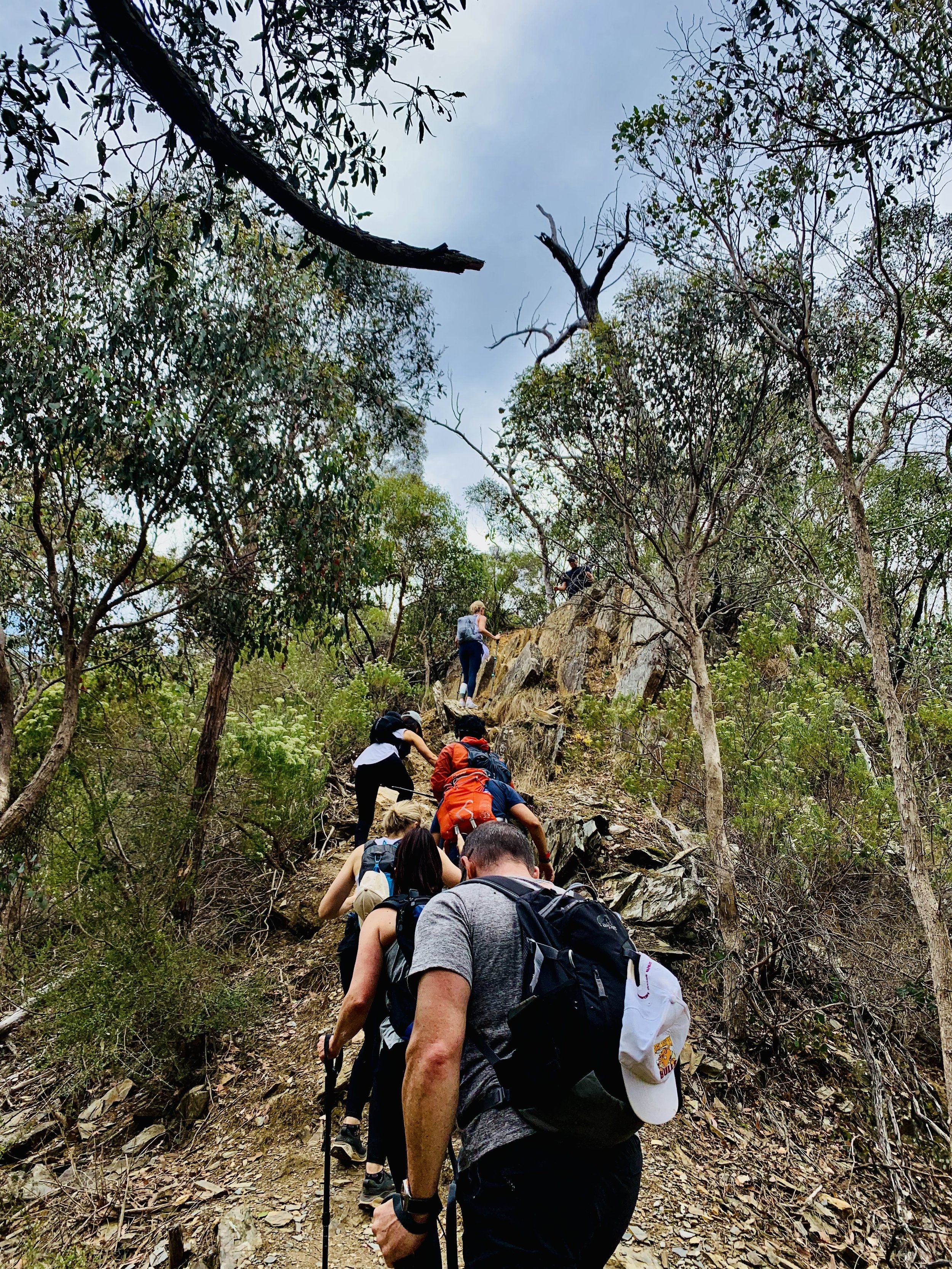
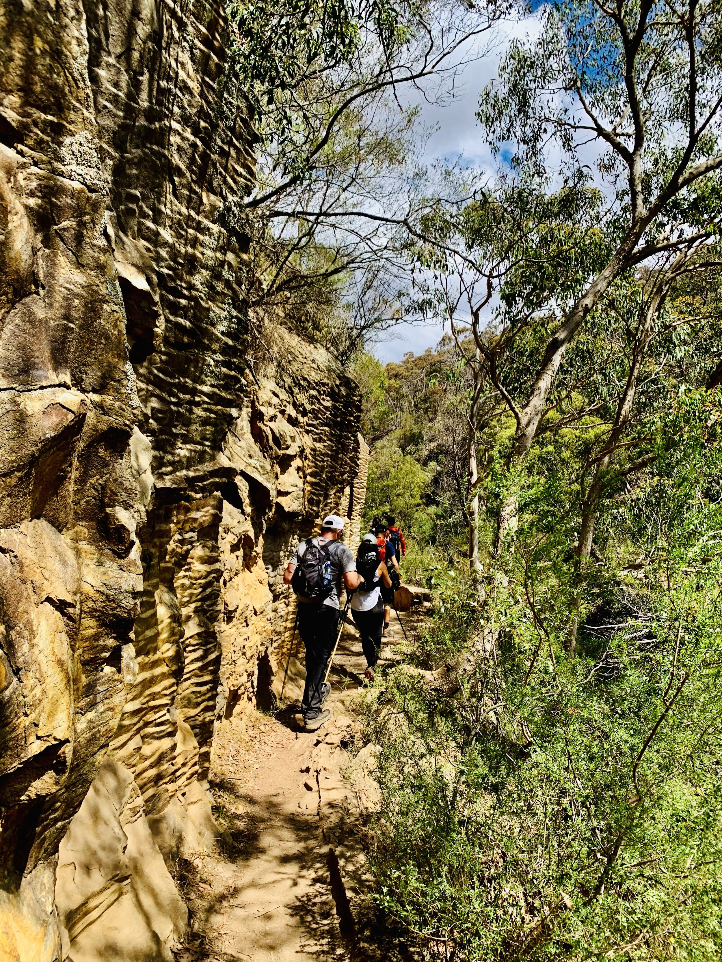
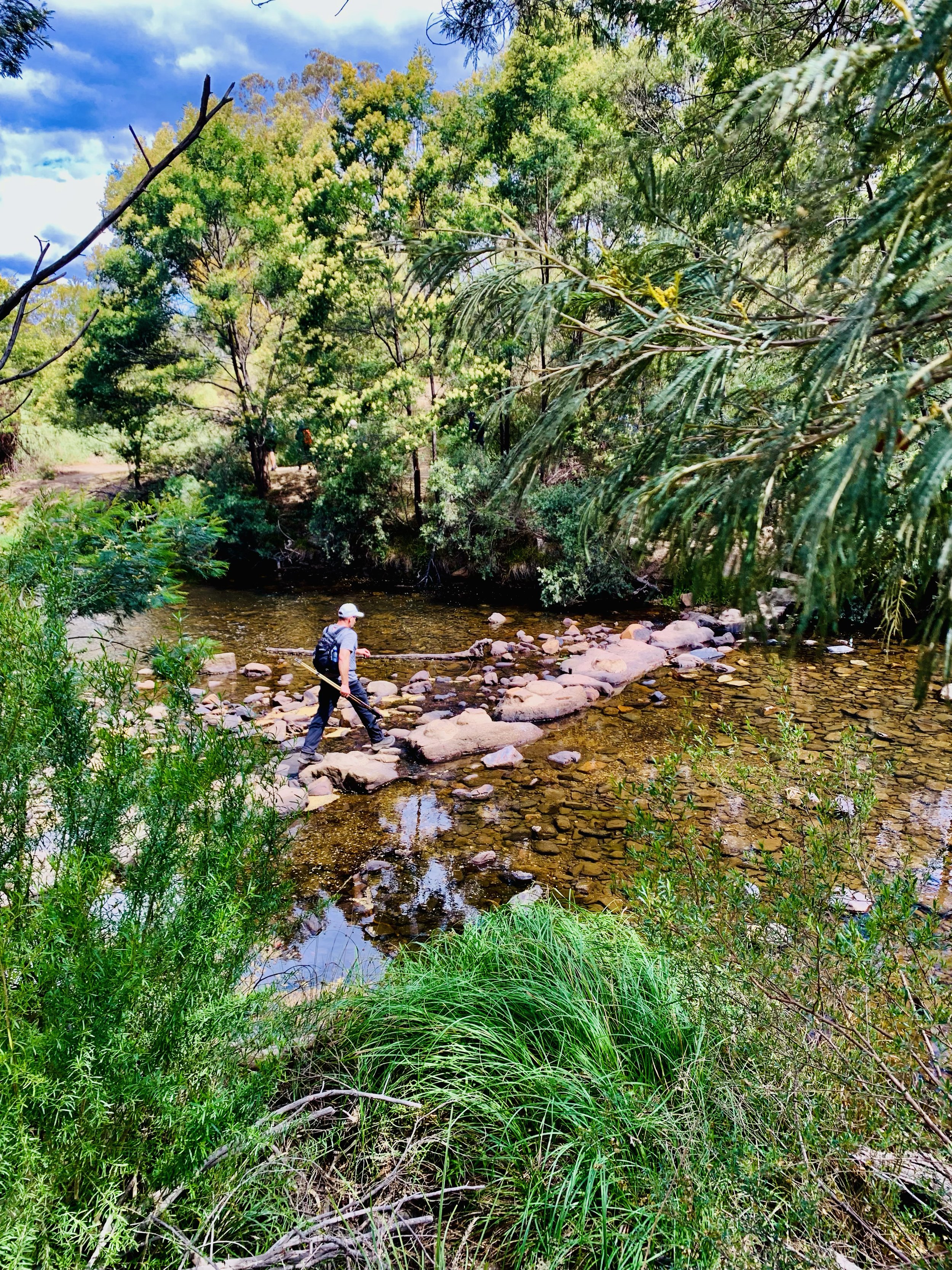
TERRAIN
The trail from Mackenzies Flat to Lerderderg Gorge features steep ascents, rocky scrambles, river crossings, and exposed ridgelines, offering a challenging hike through rugged bushland with rewarding views.
GRADING & FITNESS
This Grade 4 trail involves uneven terrain, steep climbs, rock-hopping, and unmarked paths. A high level of fitness is required for endurance, agility, and managing multiple river crossings.
LUYIP ON HIKE WORKSHOP OPTIONS
LUYIP. ‘on hike’ workshops blend movement, nature, and inner work to help teams, fitness, sporting, and social groups reconnect, build resilience, and grow confidence, clarity, and cohesion outdoors. Find out more here.
GOURMET PLATTER & MEDIA COVERAGE
A gourmet spread of meats, cheeses, seasonal fruits foccacia and banana bread will be on offer at the end of the hike. Packages includes media coverage of your adventure by the accompanying HACO guides. View our food offer here.
DESTINATION & TRAVEL TIME
The starting point of this hike is on Mackenzies Flat Picnic Area, Darley VIC and is approximately a 1hr 5min drive from the Melbourne CBD. You can click the button below to obtain the hiking starting point co-ordinates on google maps.